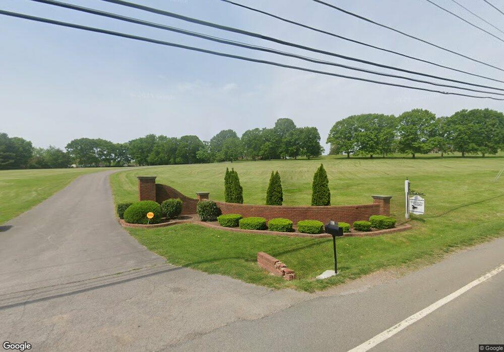
1190 Lewisburg Pike Franklin, TN 37064
Goose Creek NeighborhoodEstimated Value: $2,714,000 - $5,025,000
--
Bed
9
Baths
7,372
Sq Ft
$558/Sq Ft
Est. Value
About This Home
This home is located at 1190 Lewisburg Pike, Franklin, TN 37064 and is currently estimated at $4,115,643, approximately $558 per square foot. 1190 Lewisburg Pike is a home located in Williamson County with nearby schools including Oak View Elementary School, Legacy Middle School, and Harpeth Montessori.
Ownership History
Date
Name
Owned For
Owner Type
Purchase Details
Closed on
Jun 5, 2024
Sold by
Cross Caroline J and Cross James W
Bought by
Fellowship Bible Church Of Williamson County
Current Estimated Value
Purchase Details
Closed on
Jan 3, 2024
Sold by
Cross Family Limited Partnership
Bought by
Cross Family Limited Partnership
Purchase Details
Closed on
Feb 19, 2019
Sold by
Cross Cross Iv James W Iv James W and Cross Nance Amy
Bought by
Cross Cross Iv James W Iv James W and Cross Nance Amy
Purchase Details
Closed on
Jan 2, 1996
Sold by
Cross J W
Bought by
Cross Caroline J Personal
Create a Home Valuation Report for This Property
The Home Valuation Report is an in-depth analysis detailing your home's value as well as a comparison with similar homes in the area
Home Values in the Area
Average Home Value in this Area
Purchase History
| Date | Buyer | Sale Price | Title Company |
|---|---|---|---|
| Fellowship Bible Church Of Williamson County | $4,652,215 | None Listed On Document | |
| Fellowship Bible Church Of Williamson County | $4,652,215 | None Listed On Document | |
| Cross Family Limited Partnership | -- | None Listed On Document | |
| Cross Family Limited Partnership | -- | None Listed On Document | |
| Cross Cross Iv James W Iv James W | -- | None Available | |
| Cross Cross Iv James W Iv James W | -- | None Available | |
| Cross Caroline J Personal | -- | -- |
Source: Public Records
Tax History Compared to Growth
Tax History
| Year | Tax Paid | Tax Assessment Tax Assessment Total Assessment is a certain percentage of the fair market value that is determined by local assessors to be the total taxable value of land and additions on the property. | Land | Improvement |
|---|---|---|---|---|
| 2025 | $6,260 | $809,425 | $491,650 | $317,775 |
| 2024 | $6,260 | $290,325 | $28,725 | $261,600 |
| 2023 | $6,260 | $290,325 | $28,725 | $261,600 |
| 2022 | $6,260 | $290,325 | $28,725 | $261,600 |
| 2021 | $5,458 | $290,325 | $28,725 | $261,600 |
| 2020 | $6,219 | $280,125 | $19,850 | $260,275 |
| 2019 | $6,219 | $280,125 | $19,850 | $260,275 |
| 2018 | $6,023 | $280,125 | $19,850 | $260,275 |
| 2017 | $6,023 | $280,125 | $19,850 | $260,275 |
| 2016 | $0 | $280,125 | $19,850 | $260,275 |
| 2015 | -- | $230,025 | $15,250 | $214,775 |
| 2014 | -- | $230,025 | $15,250 | $214,775 |
Source: Public Records
Map
Nearby Homes
- 1219 Lewisburg Pike
- 2449 Durham Manor Dr
- 2433 Durham Manor Dr
- 205 Saint Anne Way
- 107 Beechlawn Dr
- 2215 Creekside Ln
- 454 River Bluff Dr
- 105 Bluebell Way
- 401 Ellington Dr
- 3013 Natures Landing Dr
- 416 Mackenzie Way
- 4031 Oglethorpe Dr
- 2012 General Martin Ln
- 211 Green Valley Blvd
- 298 Wisteria Dr
- 433 Galloway Dr
- 3097 Rural Plains Cir
- 2569 Winder Dr
- 232 Heathersett Dr
- 166 Azalea Ln
- 2526 Saint James Dr
- 2522 Saint James Dr
- 2518 Saint James Dr
- 1180 Lewisburg Pike
- 2534 Saint James Dr
- 2514 Saint James Dr
- 2523 Saint James Dr
- 2529 Saint James Dr
- 1181 Lewisburg Pike
- 2517 Saint James Dr
- 1187 Lewisburg Pike
- 1185 Lewisburg Pike
- 2533 Saint James Dr
- 2510 Saint James Dr
- 1179 Lewisburg Pike
- 2604 Tattinger Ct
- 2509 Saint James Dr
- 1191 Lewisburg Pike
- 2708 Reams Place
- 2709 Reams Place