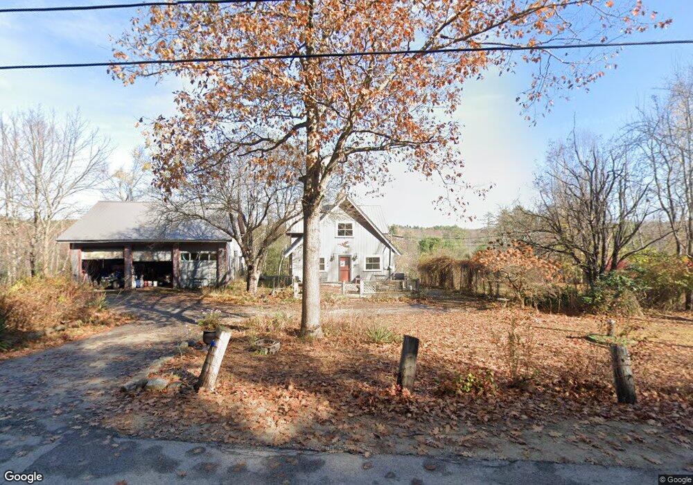
1191 Mast Rd Alfred, ME 04002
Estimated Value: $486,000 - $535,501
2
Beds
2
Baths
1,600
Sq Ft
$314/Sq Ft
Est. Value
About This Home
This home is located at 1191 Mast Rd, Alfred, ME 04002 and is currently estimated at $501,875, approximately $313 per square foot. 1191 Mast Rd is a home located in York County with nearby schools including Massabesic High School, St Thomas Consolidated School, and Sanford Christian Academy.
Ownership History
Date
Name
Owned For
Owner Type
Purchase Details
Closed on
Aug 7, 2014
Sold by
Ham Kevin S and Wormwood Debra J
Bought by
Ham Kevin S and Wormwood Debra J
Current Estimated Value
Purchase Details
Closed on
Oct 6, 2006
Sold by
Wickwar Joanne C and Guillemette Thomas R
Bought by
Wormwood Debra J and Ham Kevin S
Home Financials for this Owner
Home Financials are based on the most recent Mortgage that was taken out on this home.
Original Mortgage
$168,000
Outstanding Balance
$99,654
Interest Rate
6.54%
Mortgage Type
Purchase Money Mortgage
Estimated Equity
$402,221
Create a Home Valuation Report for This Property
The Home Valuation Report is an in-depth analysis detailing your home's value as well as a comparison with similar homes in the area
Home Values in the Area
Average Home Value in this Area
Purchase History
| Date | Buyer | Sale Price | Title Company |
|---|---|---|---|
| Ham Kevin S | -- | -- | |
| Wormwood Debra J | -- | -- | |
| Wormwood Debra J | -- | -- | |
| Ham Kevin S | -- | -- | |
| Wormwood Debra J | -- | -- |
Source: Public Records
Mortgage History
| Date | Status | Borrower | Loan Amount |
|---|---|---|---|
| Open | Wormwood Debra J | $29,300 | |
| Open | Wormwood Debra J | $168,000 | |
| Closed | Wormwood Debra J | $168,000 |
Source: Public Records
Tax History Compared to Growth
Tax History
| Year | Tax Paid | Tax Assessment Tax Assessment Total Assessment is a certain percentage of the fair market value that is determined by local assessors to be the total taxable value of land and additions on the property. | Land | Improvement |
|---|---|---|---|---|
| 2025 | $4,250 | $440,445 | $218,360 | $222,085 |
| 2024 | $4,162 | $440,445 | $218,360 | $222,085 |
| 2023 | $3,815 | $202,900 | $108,200 | $94,700 |
| 2022 | $3,652 | $202,900 | $108,200 | $94,700 |
| 2021 | $3,500 | $202,900 | $108,200 | $94,700 |
| 2020 | $886 | $202,900 | $108,200 | $94,700 |
| 2019 | $298 | $202,900 | $108,200 | $94,700 |
| 2018 | $3,226 | $202,900 | $108,200 | $94,700 |
| 2017 | $827 | $202,900 | $108,200 | $94,700 |
| 2016 | $3,074 | $202,900 | $108,200 | $94,700 |
| 2015 | $2,942 | $202,900 | $108,200 | $94,700 |
| 2014 | $2,891 | $202,900 | $108,200 | $94,700 |
| 2013 | $2,790 | $202,900 | $108,200 | $94,700 |
Source: Public Records
Map
Nearby Homes
- 0 Sanford Rd
- Lot 35 Bennett Rd
- Lot 650 Gebung Rd
- 58 Sanford Rd
- 34 Cascade Cir Unit 30
- 232 Waterboro Rd
- TBD Olde Farnham Rd
- 8 Hummingbird Ln
- 21 Signal St Unit I-3
- 2 Libby Ln
- 6 Signal St Unit 6
- 19 Signal St Unit I-2
- 17 Signal St Unit I-1
- TBD Elm St
- 99 Pleasant St
- 87 Drown Rd
- 14 Webster St
- 59 Tanguay St
- 74 Lisa Dr
- 39 Payne St
- 1180 Mast Rd
- Lot 43 Mast Rd
- 1206 Mast Rd
- 180 No Limit Dr
- 0 Mast Rd
- 1221 Mast Rd
- 1165 Mast Rd
- 2 No Limit Dr
- 1235 Mast Rd
- 1149 Mast Rd
- 1243 Mast Rd
- 1146 Mast Rd
- 1129 Mast Rd
- 360 Brackett Hill Rd
- 1095 Mast Rd
- 396 Brackett Hill Rd
- 381 Brackett Hill Rd
- 404 Brackett Hill Rd
- 361 Brackett Hill Rd
- 344 Brackett Hill Rd