11917 Ceinosis St Truckee, CA 96161
South Truckee NeighborhoodEstimated Value: $1,372,000 - $2,030,000
4
Beds
3
Baths
3,013
Sq Ft
$540/Sq Ft
Est. Value
About This Home
This home is located at 11917 Ceinosis St, Truckee, CA 96161 and is currently estimated at $1,626,264, approximately $539 per square foot. 11917 Ceinosis St is a home located in Placer County with nearby schools including Truckee Elementary School, Alder Creek Middle School, and Tahoe Truckee High School.
Ownership History
Date
Name
Owned For
Owner Type
Purchase Details
Closed on
Aug 19, 2005
Sold by
Curl Lisa and Ingold Michael
Bought by
Cranston John C
Current Estimated Value
Home Financials for this Owner
Home Financials are based on the most recent Mortgage that was taken out on this home.
Original Mortgage
$331,200
Outstanding Balance
$173,424
Interest Rate
5.61%
Mortgage Type
Fannie Mae Freddie Mac
Estimated Equity
$1,452,840
Purchase Details
Closed on
Sep 16, 1996
Sold by
Genis Randall F
Bought by
Jue Ronald A and Jue Beverly J
Create a Home Valuation Report for This Property
The Home Valuation Report is an in-depth analysis detailing your home's value as well as a comparison with similar homes in the area
Home Values in the Area
Average Home Value in this Area
Purchase History
| Date | Buyer | Sale Price | Title Company |
|---|---|---|---|
| Cranston John C | $414,000 | Old Republic Title | |
| Jue Ronald A | $87,000 | Fidelity National Title Co |
Source: Public Records
Mortgage History
| Date | Status | Borrower | Loan Amount |
|---|---|---|---|
| Open | Cranston John C | $331,200 |
Source: Public Records
Tax History Compared to Growth
Tax History
| Year | Tax Paid | Tax Assessment Tax Assessment Total Assessment is a certain percentage of the fair market value that is determined by local assessors to be the total taxable value of land and additions on the property. | Land | Improvement |
|---|---|---|---|---|
| 2025 | $9,900 | $934,910 | $141,682 | $793,228 |
| 2023 | $9,900 | $898,608 | $136,181 | $762,427 |
| 2022 | $9,750 | $880,989 | $133,511 | $747,478 |
| 2021 | $9,153 | $863,716 | $130,894 | $732,822 |
| 2020 | $9,276 | $854,860 | $129,552 | $725,308 |
| 2019 | $9,341 | $838,099 | $127,012 | $711,087 |
| 2018 | $9,017 | $821,667 | $124,522 | $697,145 |
| 2017 | $8,877 | $805,557 | $122,081 | $683,476 |
| 2016 | $8,832 | $789,763 | $119,688 | $670,075 |
| 2015 | $8,621 | $777,901 | $117,891 | $660,010 |
| 2014 | -- | $762,664 | $115,582 | $647,082 |
Source: Public Records
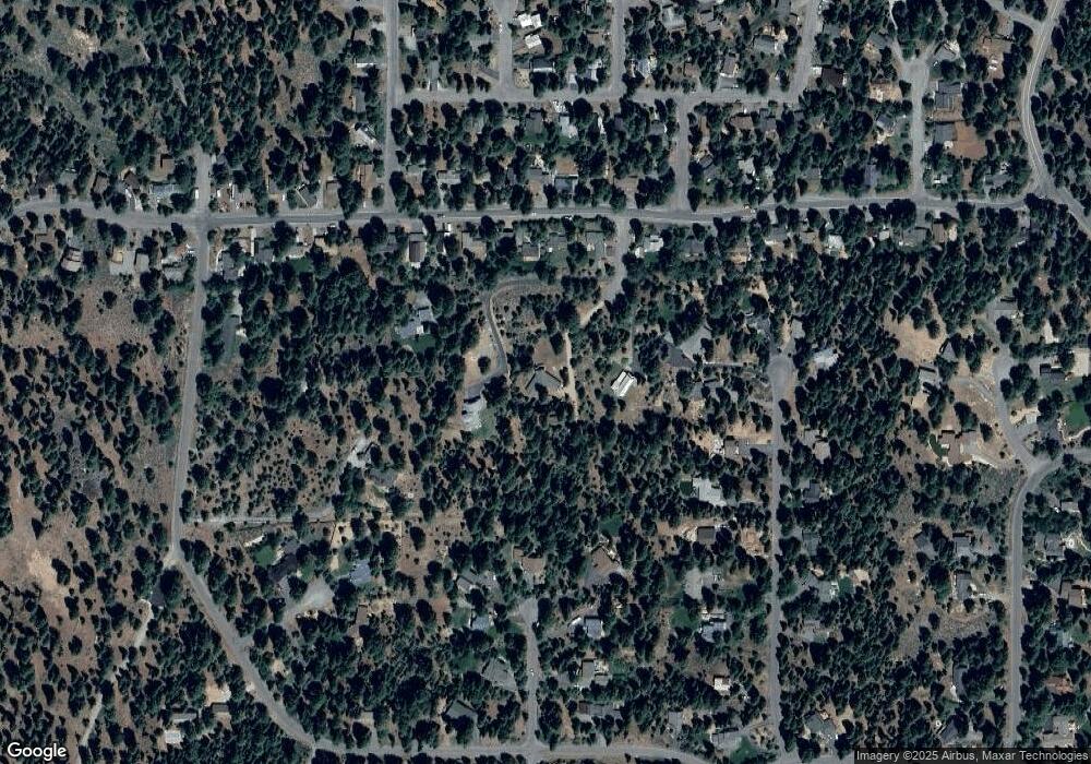
Map
Nearby Homes
- 10850 Pine Cone Dr
- 11151 Knotty Pine Dr
- 11645 Kleckner Ct
- 10910 Palisades Dr
- 10335 Old Brockway Rd
- 000 Rue Hilltop
- 10537 Stone Pine Rd
- 10237 Winter Creek Loop
- 10336 Palisades Dr
- 10191 W River St
- 10121 Palisades Dr Unit 2
- 9264 Heartwood Dr
- 10050 SE River St
- 9270 Brae Rd
- 9278 Brae Rd
- 9195 Tarn Cir
- 9287 Brae Rd
- 9240 Heartwood Dr
- 10154 High St
- 9309 Gaston Ct
- 11905 Ceinosis St
- 11929 Ceinosis St
- 11443 Silver Fir Dr
- 11443 Silverfir Dr
- 11423 Silverfir Dr
- 11463 Silverfir Dr
- 11403 Silverfir Dr
- 11463 Silver Fir Dr
- 11912 Ceinosis St
- 11495 Silverfir Dr
- 11420 Alpine View Ct
- 11440 Alpine View Ct
- 11373 Silver Fir Dr
- 11505 Silverfir Dr
- 11373 Silverfir Dr
- 11460 Alpine View Ct
- 11540 Stillwater Ct
- 11515 Silverfir Dr
- 11545 Stillwater Ct
- 11343 Silverfir Dr