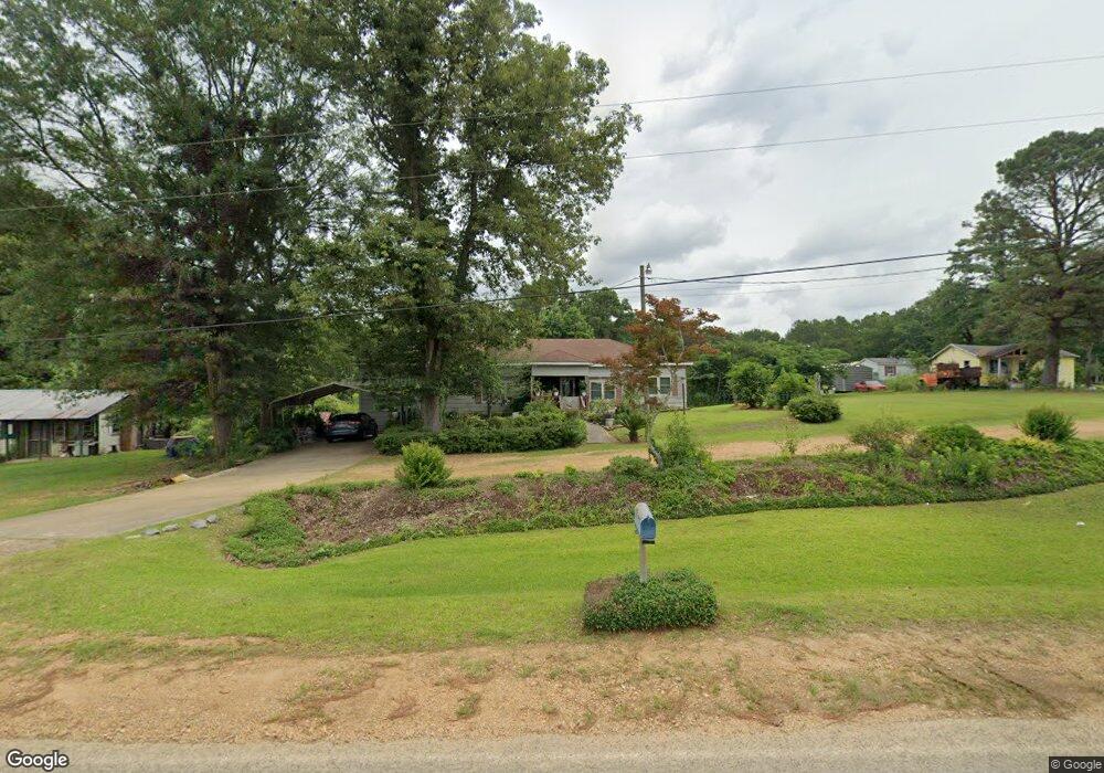
1192 Brent Rd Summit, MS 39666
Estimated Value: $60,000 - $102,000
--
Bed
--
Bath
898
Sq Ft
$85/Sq Ft
Est. Value
About This Home
This home is located at 1192 Brent Rd, Summit, MS 39666 and is currently estimated at $76,669, approximately $85 per square foot. 1192 Brent Rd is a home with nearby schools including North Pike Elementary School, North Pike Middle School, and North Pike Senior High School.
Ownership History
Date
Name
Owned For
Owner Type
Purchase Details
Closed on
Oct 1, 2020
Sold by
Aston Llc
Bought by
Downs Kathleen
Current Estimated Value
Purchase Details
Closed on
Oct 2, 2019
Sold by
Lanham Janie
Bought by
Aston Llc
Purchase Details
Closed on
Jan 11, 2005
Sold by
Lewis Anthony E
Bought by
Pittman Percy
Home Financials for this Owner
Home Financials are based on the most recent Mortgage that was taken out on this home.
Original Mortgage
$2,659
Interest Rate
5.72%
Mortgage Type
Unknown
Create a Home Valuation Report for This Property
The Home Valuation Report is an in-depth analysis detailing your home's value as well as a comparison with similar homes in the area
Home Values in the Area
Average Home Value in this Area
Purchase History
| Date | Buyer | Sale Price | Title Company |
|---|---|---|---|
| Downs Kathleen | -- | None Available | |
| Downs Kathleen | -- | None Available | |
| Aston Llc | -- | None Available | |
| Pittman Percy | -- | None Available |
Source: Public Records
Mortgage History
| Date | Status | Borrower | Loan Amount |
|---|---|---|---|
| Previous Owner | Pittman Percy | $2,659 |
Source: Public Records
Tax History Compared to Growth
Tax History
| Year | Tax Paid | Tax Assessment Tax Assessment Total Assessment is a certain percentage of the fair market value that is determined by local assessors to be the total taxable value of land and additions on the property. | Land | Improvement |
|---|---|---|---|---|
| 2025 | $213 | $1,831 | $0 | $0 |
| 2024 | $213 | $1,553 | $0 | $0 |
| 2023 | $256 | $1,903 | $0 | $0 |
| 2022 | $252 | $1,903 | $0 | $0 |
| 2021 | $252 | $1,903 | $0 | $0 |
| 2020 | $242 | $1,820 | $0 | $0 |
| 2019 | $232 | $1,789 | $0 | $0 |
| 2018 | $230 | $1,789 | $0 | $0 |
| 2017 | $225 | $1,789 | $0 | $0 |
| 2016 | $199 | $1,789 | $0 | $0 |
| 2015 | $74 | $1,119 | $0 | $0 |
| 2014 | $71 | $1,119 | $0 | $0 |
| 2013 | -- | $1,119 | $0 | $0 |
Source: Public Records
Map
Nearby Homes
- 1017 Hidden Meadow Ln
- 1073 Hillcrest Farms Ln
- 1095 Eric Price Rd
- 5014 Leatherwood Rd
- 0 Matthews Rd
- 1022 Friendship Cir
- 8001 W Topisaw S
- TBD Carters Creek Rd
- 7020 Gibson Rd
- 0 Gibson Rd and Fortenberry Cir Unit 4128519
- 1041 Fortenberry Cir
- 5089 U S 98
- 6121 Gibson Rd
- 0 Rolling Oaks Dr
- 0 C D Rayborn Rd
- 1011 Rolling Oaks Dr
- 4134 U S 98
- Leonard Rd
- XXX Wa Walker Rd
- 1106 Harrison Dr
- 2011 Brent Rd
- 2029 Brent Rd
- 1189A Brent Rd
- 1189 Brent Rd
- 1190 Brent Rd
- 1173 Brent Rd
- 1170 Brent Rd
- 1172 Brent Rd
- 2035 Brent Rd
- 000 Bridges Rd
- 2062 Brent Rd
- 1157 Brent Rd
- 2055 Brent Rd
- 1024 Mars Hill Rd
- 1036 Mars Hill Rd
- 1037 Mars Hill Rd
- 1043 Mars Hill Rd
- 1065 Mars Hill Rd
- 1026 Pittman Rd
- 1019 Mars Hill Rd