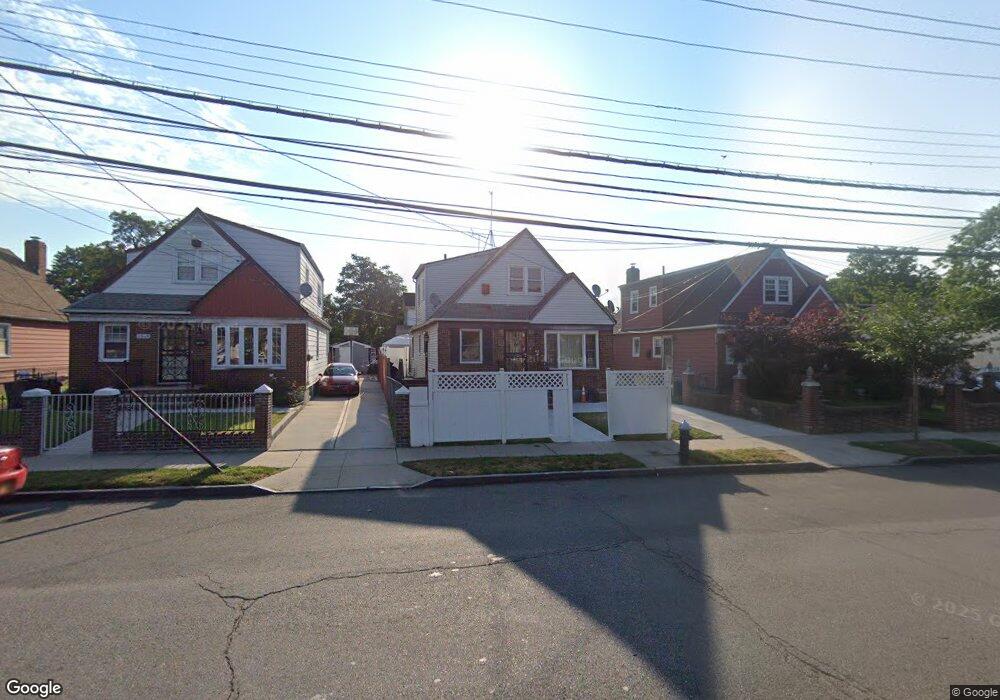
11923 Farmers Blvd Saint Albans, NY 11412
Saint Albans NeighborhoodEstimated Value: $695,000 - $807,000
--
Bed
--
Bath
1,139
Sq Ft
$649/Sq Ft
Est. Value
About This Home
This home is located at 11923 Farmers Blvd, Saint Albans, NY 11412 and is currently estimated at $739,130, approximately $648 per square foot. 11923 Farmers Blvd is a home located in Queens County with nearby schools including P.S. 15 Jackie Robinson, Is 59 Springfield Gardens, and Riverton Street Charter School.
Ownership History
Date
Name
Owned For
Owner Type
Purchase Details
Closed on
Feb 10, 2021
Sold by
Taylor Carlene Annmarie
Bought by
Ogunwale Samson and Yusuf Adebayo
Current Estimated Value
Home Financials for this Owner
Home Financials are based on the most recent Mortgage that was taken out on this home.
Original Mortgage
$557,844
Outstanding Balance
$497,790
Interest Rate
2.7%
Mortgage Type
Purchase Money Mortgage
Estimated Equity
$241,340
Purchase Details
Closed on
Jun 3, 2015
Sold by
Taylor Carlene Annmarie and Wint Lena
Bought by
Taylor Carlene Annmarie
Purchase Details
Closed on
May 28, 2004
Sold by
Wint David
Bought by
Taylor Carlene Annmarie
Purchase Details
Closed on
Oct 12, 2001
Sold by
Wint Lena and Wint David
Bought by
Wint David
Create a Home Valuation Report for This Property
The Home Valuation Report is an in-depth analysis detailing your home's value as well as a comparison with similar homes in the area
Home Values in the Area
Average Home Value in this Area
Purchase History
| Date | Buyer | Sale Price | Title Company |
|---|---|---|---|
| Ogunwale Samson | $600,000 | -- | |
| Ogunwale Samson | $600,000 | -- | |
| Taylor Carlene Annmarie | -- | -- | |
| Taylor Carlene Annmarie | -- | -- | |
| Taylor Carlene Annmarie | -- | -- | |
| Taylor Carlene Annmarie | -- | -- | |
| Wint David | -- | -- | |
| Wint David | -- | -- |
Source: Public Records
Mortgage History
| Date | Status | Borrower | Loan Amount |
|---|---|---|---|
| Open | Ogunwale Samson | $557,844 | |
| Closed | Ogunwale Samson | $557,844 | |
| Closed | Taylor Carlene Annmarie | $0 |
Source: Public Records
Tax History Compared to Growth
Tax History
| Year | Tax Paid | Tax Assessment Tax Assessment Total Assessment is a certain percentage of the fair market value that is determined by local assessors to be the total taxable value of land and additions on the property. | Land | Improvement |
|---|---|---|---|---|
| 2025 | $6,117 | $32,283 | $11,129 | $21,154 |
| 2024 | $6,117 | $30,456 | $11,040 | $19,416 |
| 2023 | $6,117 | $30,456 | $10,706 | $19,750 |
| 2022 | $6,034 | $33,900 | $13,920 | $19,980 |
| 2021 | $6,001 | $34,440 | $13,920 | $20,520 |
| 2020 | $5,695 | $29,640 | $13,920 | $15,720 |
| 2019 | $5,309 | $25,380 | $13,920 | $11,460 |
| 2018 | $5,342 | $26,208 | $12,308 | $13,900 |
| 2017 | $5,210 | $25,560 | $13,823 | $11,737 |
| 2016 | $5,038 | $25,560 | $13,823 | $11,737 |
| 2015 | $2,908 | $24,539 | $14,689 | $9,850 |
| 2014 | $2,908 | $23,150 | $14,567 | $8,583 |
Source: Public Records
Map
Nearby Homes
- 18822 119th Ave
- 118-18 190th St
- 188-51 120th Rd
- 118-29 191st St
- 18821 118th Ave
- 18922 117th Rd
- 189-20 117th Rd
- 189-21 117th Rd
- 11819 179th St
- 119-44 193rd St
- 186-02 Foch Blvd
- 191-07 121st Ave
- 179-01 120th Ave
- 193-06 119th Ave
- 11915 193rd St
- 120-44 192nd St
- 12133 Grayson St
- 11984 178th Place
- 120-20 194th St
- 19415 120th Ave
- 119-23 Farmers Blvd
- 11919 Farmers Blvd
- 11927 Farmers Blvd
- 18815 119th Rd
- 11915 Farmers Blvd
- 18817 119th Rd
- 11911 Farmers Blvd
- 18821 119th Rd
- 119-11 Farmers Blvd
- 18821 119th Rd
- 11909 Farmers Blvd
- 11937 Farmers Blvd
- 119-09 Farmers Blvd
- 18823 119th Rd
- 18823 119th Rd Unit 2nd Fl
- 18823 119th Rd
- 18823 119th Rd Unit 2nd Fl
- 188-23 119th Rd
- 18808 119th Rd
- 11941 Farmers Blvd