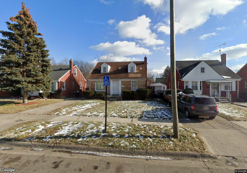
11924 Roxbury St Detroit, MI 48224
Moross-Morang NeighborhoodEstimated Value: $81,000 - $137,000
--
Bed
1
Bath
1,038
Sq Ft
$96/Sq Ft
Est. Value
About This Home
This home is located at 11924 Roxbury St, Detroit, MI 48224 and is currently estimated at $100,160, approximately $96 per square foot. 11924 Roxbury St is a home located in Wayne County with nearby schools including Carleton Elementary School, Edward 'Duke' Ellington Conservatory of Music and Art, and Charles L. Spain Elementary-Middle School.
Ownership History
Date
Name
Owned For
Owner Type
Purchase Details
Closed on
Sep 12, 2007
Sold by
Jc Elwart 11924 Roxbury Llc
Bought by
Turner Bridgette
Current Estimated Value
Purchase Details
Closed on
Aug 31, 2007
Sold by
Bankers Trust Co Of California Na
Bought by
Elwart Joseph R
Purchase Details
Closed on
Apr 29, 2003
Sold by
Elwart Christine C
Bought by
Jc Elwart 11924 Roxbury Llc
Create a Home Valuation Report for This Property
The Home Valuation Report is an in-depth analysis detailing your home's value as well as a comparison with similar homes in the area
Home Values in the Area
Average Home Value in this Area
Purchase History
| Date | Buyer | Sale Price | Title Company |
|---|---|---|---|
| Turner Bridgette | $74,000 | Multiple | |
| Elwart Joseph R | $25,500 | Multiple | |
| Jc Elwart 11924 Roxbury Llc | -- | -- | |
| Elwart Christine C | -- | -- |
Source: Public Records
Tax History Compared to Growth
Tax History
| Year | Tax Paid | Tax Assessment Tax Assessment Total Assessment is a certain percentage of the fair market value that is determined by local assessors to be the total taxable value of land and additions on the property. | Land | Improvement |
|---|---|---|---|---|
| 2025 | $1,132 | $39,100 | $0 | $0 |
| 2024 | $1,132 | $34,500 | $0 | $0 |
| 2023 | $1,097 | $28,600 | $0 | $0 |
| 2022 | $1,199 | $23,000 | $0 | $0 |
| 2021 | $1,169 | $18,700 | $0 | $0 |
| 2020 | $1,157 | $17,400 | $0 | $0 |
| 2019 | $1,140 | $14,000 | $0 | $0 |
| 2018 | $975 | $12,500 | $0 | $0 |
| 2017 | $241 | $12,700 | $0 | $0 |
| 2016 | $1,259 | $16,900 | $0 | $0 |
| 2015 | $1,690 | $16,900 | $0 | $0 |
| 2013 | $2,341 | $23,411 | $0 | $0 |
| 2010 | -- | $34,323 | $1,422 | $32,901 |
Source: Public Records
Map
Nearby Homes
- 11908 Roxbury St
- 11959 Roxbury St
- 12010 Lakepointe St
- 11764 Beaconsfield St
- 12025 Lakepointe St
- 11912 Lakepointe St
- 11734 Beaconsfield St
- 11726 Beaconsfield St
- 19415 Moross Rd
- 12096 Rossiter St
- 19710 Moross Rd
- 19302 Moross Rd
- 19443 Mccormick St
- 19242 Moross Rd
- 11640 Somerset Ave
- 11635 Beaconsfield St
- 19182 Beaconsfield St
- 19331 Mccormick St
- 11493 Somerset Ave
- 12260 Wayburn St
- 11916 Roxbury St
- 11932 Roxbury St
- 11942 Roxbury St
- 11823 Beaconsfield St
- 11900 Roxbury St
- 11950 Roxbury St
- 11831 Beaconsfield St
- 11817 Beaconsfield St Unit Bldg-Unit
- 11817 Beaconsfield St
- 11839 Beaconsfield St
- 11809 Beaconsfield St
- 11890 Roxbury St
- 11801 Beaconsfield St
- 11958 Roxbury St
- 11851 Beaconsfield St Unit Bldg-Unit
- 11851 Beaconsfield St
- 11925 Roxbury St
- 11917 Roxbury St
- 11933 Roxbury St
- 11791 Beaconsfield St