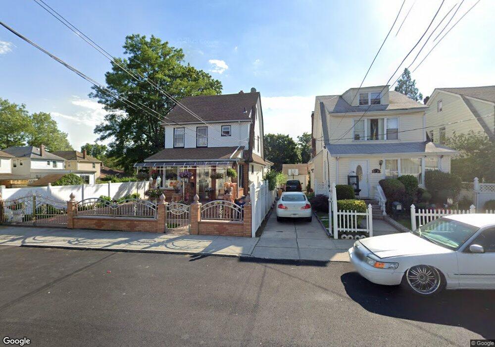
11946 189th St Saint Albans, NY 11412
Saint Albans NeighborhoodEstimated Value: $716,000 - $853,000
--
Bed
--
Bath
1,999
Sq Ft
$398/Sq Ft
Est. Value
About This Home
This home is located at 11946 189th St, Saint Albans, NY 11412 and is currently estimated at $795,333, approximately $397 per square foot. 11946 189th St is a home located in Queens County with nearby schools including P.S. 15 Jackie Robinson, Is 59 Springfield Gardens, and Riverton Street Charter School.
Ownership History
Date
Name
Owned For
Owner Type
Purchase Details
Closed on
Feb 18, 2015
Sold by
Hanson Derrick
Bought by
James Paul and Malcolm Sabian
Current Estimated Value
Purchase Details
Closed on
May 19, 1997
Sold by
Powell Egbert A
Bought by
James Paul and Hanson Derrick
Home Financials for this Owner
Home Financials are based on the most recent Mortgage that was taken out on this home.
Original Mortgage
$218,500
Interest Rate
7.7%
Create a Home Valuation Report for This Property
The Home Valuation Report is an in-depth analysis detailing your home's value as well as a comparison with similar homes in the area
Home Values in the Area
Average Home Value in this Area
Purchase History
| Date | Buyer | Sale Price | Title Company |
|---|---|---|---|
| James Paul | $15,000 | -- | |
| James Paul | $230,000 | Chicago Title Insurance Co |
Source: Public Records
Mortgage History
| Date | Status | Borrower | Loan Amount |
|---|---|---|---|
| Previous Owner | James Paul | $218,500 |
Source: Public Records
Tax History Compared to Growth
Tax History
| Year | Tax Paid | Tax Assessment Tax Assessment Total Assessment is a certain percentage of the fair market value that is determined by local assessors to be the total taxable value of land and additions on the property. | Land | Improvement |
|---|---|---|---|---|
| 2025 | $7,148 | $37,723 | $14,539 | $23,184 |
| 2024 | $7,148 | $35,590 | $12,876 | $22,714 |
| 2023 | $7,148 | $35,590 | $12,399 | $23,191 |
| 2022 | $7,034 | $47,100 | $18,060 | $29,040 |
| 2021 | $7,013 | $42,420 | $18,060 | $24,360 |
| 2020 | $6,654 | $36,480 | $18,060 | $18,420 |
| 2019 | $6,204 | $40,200 | $18,060 | $22,140 |
| 2018 | $6,204 | $29,658 | $12,956 | $16,702 |
| 2017 | $5,884 | $28,862 | $13,638 | $15,224 |
| 2016 | $5,551 | $28,862 | $13,638 | $15,224 |
| 2015 | -- | $26,197 | $17,258 | $8,939 |
Source: Public Records
Map
Nearby Homes
- 188-51 120th Rd
- 18822 119th Ave
- 191-07 121st Ave
- 12133 Grayson St
- 120-44 192nd St
- 119-44 193rd St
- 118-18 190th St
- 118-29 191st St
- 19009 122nd Ave
- 179-01 120th Ave
- 11915 193rd St
- 193-06 119th Ave
- 191-01 122nd Ave
- 18821 118th Ave
- 120-20 194th St
- 17955 Anderson Rd
- 11819 179th St
- 18922 117th Rd
- 179-50 Anderson Rd
- 189-20 117th Rd
- 11942 189th St
- 119-42 189th St
- 18826 119th Rd
- 11938 189th St
- 119-38 189th St
- 119-38 189th St
- 119-38 189th St
- 18822 119th Rd
- 18829 120th Ave
- 18827 120th Ave
- 188-22 119th Rd Unit 1
- 18822 119th Rd
- 188-22 119th Rd
- 18835 120th Ave
- 18832 119th Rd
- 188-31 120th Ave
- 18818 119th Rd
- 18823 120th Ave
- 18831 120th Ave
- 18837 120th Ave