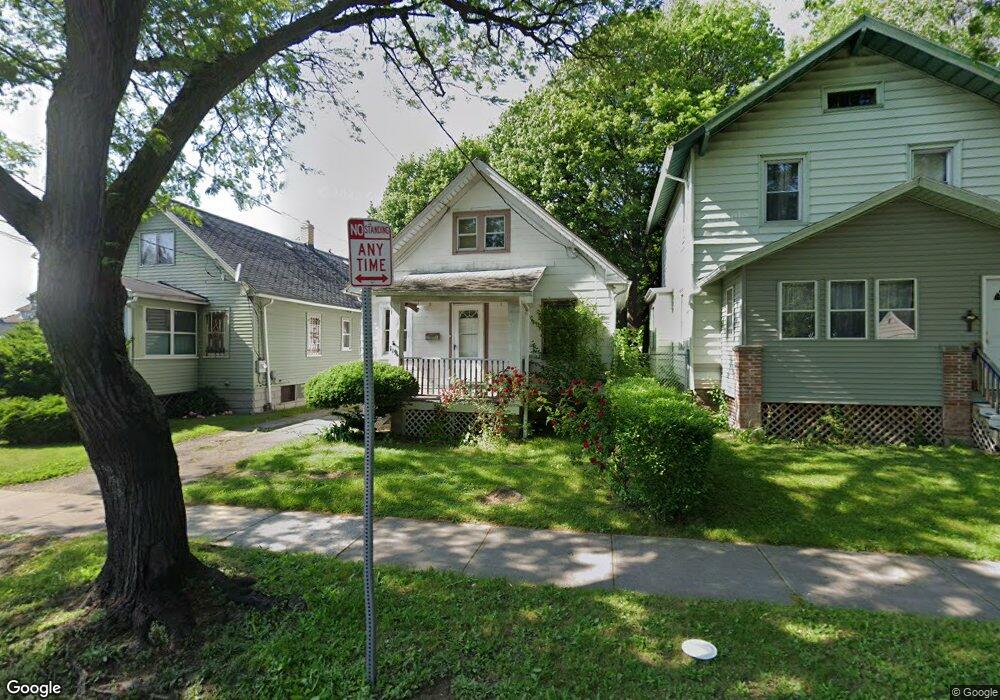
1196 Norton St Rochester, NY 14621
Northeast Rochester NeighborhoodEstimated Value: $134,000 - $165,000
3
Beds
2
Baths
1,216
Sq Ft
$117/Sq Ft
Est. Value
About This Home
This home is located at 1196 Norton St, Rochester, NY 14621 and is currently estimated at $142,491, approximately $117 per square foot. 1196 Norton St is a home located in Monroe County with nearby schools including School 39-Andrew J. Townson, Mary McLeod Bethune School No. 45, and School 25 Nathaniel Hawthorne.
Ownership History
Date
Name
Owned For
Owner Type
Purchase Details
Closed on
Feb 20, 2020
Sold by
Klimovich Pavel
Bought by
K Holdings Llc
Current Estimated Value
Home Financials for this Owner
Home Financials are based on the most recent Mortgage that was taken out on this home.
Original Mortgage
$1,567,950
Outstanding Balance
$1,388,310
Interest Rate
3.6%
Mortgage Type
Commercial
Estimated Equity
-$1,245,819
Purchase Details
Closed on
Jan 12, 2017
Sold by
The City Of Rochester and Curran Brian
Bought by
Klimovich Pavel
Purchase Details
Closed on
Jan 13, 2005
Sold by
Soldi Property Management Inc
Bought by
Schwind Frederick J
Purchase Details
Closed on
Jan 15, 1997
Sold by
Petromallo Michael and Jean Mary
Bought by
Bibb Darlene and Bibb Nicole
Create a Home Valuation Report for This Property
The Home Valuation Report is an in-depth analysis detailing your home's value as well as a comparison with similar homes in the area
Home Values in the Area
Average Home Value in this Area
Purchase History
| Date | Buyer | Sale Price | Title Company |
|---|---|---|---|
| K Holdings Llc | -- | None Available | |
| Klimovich Pavel | -- | None Available | |
| Schwind Frederick J | $18,500 | None Available | |
| Bibb Darlene | $50,000 | -- |
Source: Public Records
Mortgage History
| Date | Status | Borrower | Loan Amount |
|---|---|---|---|
| Open | K Holdings Llc | $1,567,950 |
Source: Public Records
Tax History Compared to Growth
Tax History
| Year | Tax Paid | Tax Assessment Tax Assessment Total Assessment is a certain percentage of the fair market value that is determined by local assessors to be the total taxable value of land and additions on the property. | Land | Improvement |
|---|---|---|---|---|
| 2024 | $984 | $100,700 | $9,200 | $91,500 |
| 2023 | $717 | $45,000 | $5,700 | $39,300 |
| 2022 | $747 | $45,000 | $5,700 | $39,300 |
| 2021 | $729 | $45,000 | $5,700 | $39,300 |
| 2020 | $663 | $45,000 | $5,700 | $39,300 |
| 2019 | $553 | $37,000 | $5,700 | $31,300 |
| 2018 | $1,292 | $37,000 | $5,700 | $31,300 |
| 2017 | $0 | $37,000 | $5,700 | $31,300 |
| 2016 | $553 | $37,000 | $5,700 | $31,300 |
| 2015 | $1,530 | $42,000 | $5,700 | $36,300 |
| 2014 | $1,530 | $42,000 | $5,700 | $36,300 |
Source: Public Records
Map
Nearby Homes
- 61 Brookhaven Terrace
- 46 Baird St
- 212 Saint Stanislaus St
- 50 Manchester St
- 63 Dickinson St
- 146 Delamaine Dr
- 152 Delamaine Dr
- 187-189 Delamaine Dr
- 120 Barberry Terrace
- 149 Northlane Dr
- 94 Kosciusko St
- 318-320 Durnan St
- 319 Carter St
- 96 Sobieski St
- 1001-1005 Portland Ave
- 1290-1292 Portland Ave
- 73 Kosciusko St
- 65 Kosciusko St
- 1303 North St
- 24 Jackson St
- 1200 Norton St
- 1190 Norton St
- 1206 Norton St
- 4 Florack St
- 1212 Norton St
- 1176 Norton St
- 26 Florack St
- 1216 Norton St
- 1174 Norton St
- 25 Brookhaven Terrace
- 1222 Norton St
- 1211 Norton St
- 36 Florack St
- 29 Brookhaven Terrace
- 1215 Norton St
- 1160 Norton St Unit 1166
- 35 Brookhaven Terrace
- 1221 Norton St
- 44 Florack St
- 41 Florack St