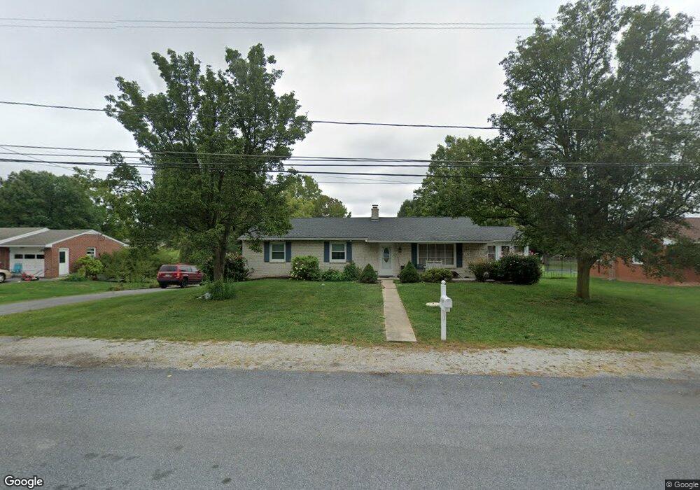
1197 Woodland Pkwy Waynesboro, PA 17268
Estimated Value: $264,000 - $338,337
4
Beds
3
Baths
1,560
Sq Ft
$194/Sq Ft
Est. Value
About This Home
This home is located at 1197 Woodland Pkwy, Waynesboro, PA 17268 and is currently estimated at $302,334, approximately $193 per square foot. 1197 Woodland Pkwy is a home located in Franklin County with nearby schools including Greencastle-Antrim Elementary School, Greencastle-Antrim Primary School, and Greencastle-Antrim Middle School.
Ownership History
Date
Name
Owned For
Owner Type
Purchase Details
Closed on
Sep 23, 2016
Sold by
Mallow Lucas K and Mallow Wilma Jean
Bought by
Rocky Ridge Holdings Llc
Current Estimated Value
Purchase Details
Closed on
Aug 26, 2011
Sold by
Wingert Amery M and Wingert Grace E
Bought by
Mallow Lucas K and Mallow Wilma Jean
Home Financials for this Owner
Home Financials are based on the most recent Mortgage that was taken out on this home.
Original Mortgage
$186,424
Interest Rate
4.52%
Mortgage Type
New Conventional
Create a Home Valuation Report for This Property
The Home Valuation Report is an in-depth analysis detailing your home's value as well as a comparison with similar homes in the area
Home Values in the Area
Average Home Value in this Area
Purchase History
| Date | Buyer | Sale Price | Title Company |
|---|---|---|---|
| Rocky Ridge Holdings Llc | $190,000 | Attorney | |
| Mallow Lucas K | $179,900 | None Available |
Source: Public Records
Mortgage History
| Date | Status | Borrower | Loan Amount |
|---|---|---|---|
| Previous Owner | Mallow Lucas K | $186,424 |
Source: Public Records
Tax History Compared to Growth
Tax History
| Year | Tax Paid | Tax Assessment Tax Assessment Total Assessment is a certain percentage of the fair market value that is determined by local assessors to be the total taxable value of land and additions on the property. | Land | Improvement |
|---|---|---|---|---|
| 2025 | $3,620 | $21,640 | $1,150 | $20,490 |
| 2024 | $3,284 | $21,640 | $1,150 | $20,490 |
| 2023 | $3,246 | $21,640 | $1,150 | $20,490 |
| 2022 | $3,246 | $21,640 | $1,150 | $20,490 |
| 2021 | $3,183 | $21,640 | $1,150 | $20,490 |
| 2020 | $3,100 | $21,640 | $1,150 | $20,490 |
| 2019 | $3,029 | $21,640 | $1,150 | $20,490 |
| 2018 | $2,822 | $20,380 | $1,150 | $19,230 |
| 2017 | $584 | $20,380 | $1,150 | $19,230 |
| 2016 | $584 | $20,380 | $1,150 | $19,230 |
| 2015 | $544 | $20,380 | $1,150 | $19,230 |
| 2014 | $544 | $20,380 | $1,150 | $19,230 |
Source: Public Records
Map
Nearby Homes
- 15621 Oak Rd
- 171 East Ave
- 15444 Pennsylvania Ave
- 128 Hykes Rd E
- 110 Hykes Rd E
- Lot C3-2 Cedarbrook Dr
- Lot C3-1 Cedarbrook Dr
- 14732 Cedarbrook Dr
- 14799 Cedarbrook Dr
- 1031 Dianne Dr
- 1033 Dianne Dr
- 15480 Wedgewood Dr
- 14501 Molly Pitcher Hwy
- 684 Dresden Cir
- 14108 William Talcott Ln
- 18757 Mesa Terrace
- 19127 Grainary Dr
- 0 Paradise Church Rd Unit MDWA2027834
- 0 Hykes Rd
- 226 Milnor Rd
- 1213 Woodland Pkwy
- 1204 Woodland Pkwy
- 1204 Woodland Pkwy
- 1177 Woodland Pkwy
- 1229 Woodland Pkwy
- 1172 Woodland Pkwy
- 1163 Woodland Pkwy
- 0 Woodland Pkwy
- 1249 Woodland Pkwy
- 1154 Woodland Pkwy
- 1154 Woodland Pkwy
- 1143 Woodland Pkwy
- 1269 Woodland Pkwy
- 1134 Woodland Pkwy
- 1291 Woodland Pkwy
- 1170 Redwood Dr
- 1186 Redwood Dr
- 1178 Redwood Dr
- 1210 Redwood Dr
- 1162 Redwood Dr