Estimated Value: $304,000 - $348,944
--
Bed
3
Baths
1,028
Sq Ft
$318/Sq Ft
Est. Value
About This Home
This home is located at 11985 Prairie Ln, Lusby, MD 20657 and is currently estimated at $327,236, approximately $318 per square foot. 11985 Prairie Ln is a home located in Calvert County with nearby schools including Patuxent Appeal Elementary Campus, Mill Creek Middle School, and Patuxent High School.
Ownership History
Date
Name
Owned For
Owner Type
Purchase Details
Closed on
Nov 5, 2004
Sold by
Howes Robert C
Bought by
Rodger Carol A
Current Estimated Value
Purchase Details
Closed on
Oct 26, 2004
Sold by
Howes Robert C
Bought by
Rodger Carol A
Purchase Details
Closed on
Jun 25, 2004
Sold by
Treuting Chas A and Treuting Betty M
Bought by
Howes Robert C
Purchase Details
Closed on
Jun 17, 2004
Sold by
Treuting Chas A and Treuting Betty M
Bought by
Howes Robert C
Create a Home Valuation Report for This Property
The Home Valuation Report is an in-depth analysis detailing your home's value as well as a comparison with similar homes in the area
Home Values in the Area
Average Home Value in this Area
Purchase History
| Date | Buyer | Sale Price | Title Company |
|---|---|---|---|
| Rodger Carol A | $25,000 | -- | |
| Rodger Carol A | $25,000 | -- | |
| Howes Robert C | $18,000 | -- | |
| Howes Robert C | $18,000 | -- |
Source: Public Records
Mortgage History
| Date | Status | Borrower | Loan Amount |
|---|---|---|---|
| Closed | Rodger Carol A | -- |
Source: Public Records
Tax History Compared to Growth
Tax History
| Year | Tax Paid | Tax Assessment Tax Assessment Total Assessment is a certain percentage of the fair market value that is determined by local assessors to be the total taxable value of land and additions on the property. | Land | Improvement |
|---|---|---|---|---|
| 2025 | $2,904 | $254,700 | $0 | $0 |
| 2024 | $2,904 | $231,500 | $0 | $0 |
| 2023 | $2,318 | $208,300 | $55,200 | $153,100 |
| 2022 | $2,108 | $202,933 | $0 | $0 |
| 2021 | $5,069 | $197,567 | $0 | $0 |
| 2020 | $2,427 | $192,200 | $55,200 | $137,000 |
| 2019 | $1,941 | $185,000 | $0 | $0 |
| 2018 | $1,865 | $177,800 | $0 | $0 |
| 2017 | $2,188 | $170,600 | $0 | $0 |
| 2016 | -- | $170,600 | $0 | $0 |
| 2015 | $2,602 | $170,600 | $0 | $0 |
| 2014 | $2,602 | $174,500 | $0 | $0 |
Source: Public Records
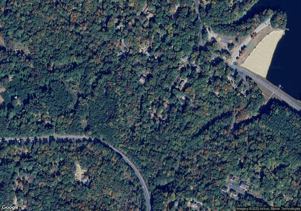
Map
Nearby Homes
- 389 Thunderbird Dr
- 542 Chisholm Trail
- 548 Antelope Trail
- 383 Red Cloud Rd
- 12361 Silver Rock Cir
- 513 Cody Trail
- 12609 Olivet Rd
- 502 Dodge Trail
- 12740 Great Ln
- 11616 Deadwood Dr
- 256 Frontier Trail
- 634 Silver Rock Rd
- 11722 Big Bear Ln
- 11615 Big Bear Ln
- 11609 Deadwood Dr
- 11581 Deadwood Dr
- 285 Red Cloud Rd
- 291 Red Cloud Rd
- 646 White Rock Rd
- 12447 El Segunda Ln
- 11989 Prairie Ln
- 11981 Prairie Ln
- 11986 Prairie Ln
- 11983 Canyon Trail
- 11993 Prairie Ln
- 11977 Canyon Trail
- 11990 Prairie Ln
- 11988 Pine Trail
- 11994 Prairie Ln
- 379 Canyon Ct
- 11980 Pine Trail
- 11973 Canyon Trail
- 380 Canyon Ct
- 385 Canyon Ct
- 11979 Hemlock Rd
- 11976 Pine Trail
- 384 Canyon Ct
- 11970 Canyon Trail
- 11969 Canyon Trail
- 11972 Pine Trail