119B Church Rd Arnold, MD 21012
Estimated Value: $406,000 - $1,033,886
--
Bed
4
Baths
3,368
Sq Ft
$229/Sq Ft
Est. Value
About This Home
This home is located at 119B Church Rd, Arnold, MD 21012 and is currently estimated at $770,222, approximately $228 per square foot. 119B Church Rd is a home located in Anne Arundel County with nearby schools including Arnold Elementary School, Severn River Middle School, and Broadneck High School.
Ownership History
Date
Name
Owned For
Owner Type
Purchase Details
Closed on
May 8, 2025
Sold by
Hansen Robert Owen and Brummett Tina M
Bought by
Brummett Ralph and Brummett Tina
Current Estimated Value
Home Financials for this Owner
Home Financials are based on the most recent Mortgage that was taken out on this home.
Original Mortgage
$392,755
Interest Rate
6.85%
Mortgage Type
FHA
Create a Home Valuation Report for This Property
The Home Valuation Report is an in-depth analysis detailing your home's value as well as a comparison with similar homes in the area
Home Values in the Area
Average Home Value in this Area
Purchase History
| Date | Buyer | Sale Price | Title Company |
|---|---|---|---|
| Brummett Ralph | $400,000 | Admiral Title | |
| Brummett Ralph | $400,000 | Admiral Title |
Source: Public Records
Mortgage History
| Date | Status | Borrower | Loan Amount |
|---|---|---|---|
| Previous Owner | Brummett Ralph | $392,755 |
Source: Public Records
Tax History Compared to Growth
Tax History
| Year | Tax Paid | Tax Assessment Tax Assessment Total Assessment is a certain percentage of the fair market value that is determined by local assessors to be the total taxable value of land and additions on the property. | Land | Improvement |
|---|---|---|---|---|
| 2025 | $6,665 | $772,900 | -- | -- |
| 2024 | $6,665 | $719,200 | $294,500 | $424,700 |
| 2023 | $6,494 | $702,733 | $0 | $0 |
| 2022 | $6,085 | $686,267 | $0 | $0 |
| 2021 | $11,946 | $669,800 | $284,500 | $385,300 |
| 2020 | $5,842 | $669,233 | $0 | $0 |
| 2019 | $5,756 | $668,667 | $0 | $0 |
| 2018 | $95 | $668,100 | $234,500 | $433,600 |
| 2017 | $5,425 | $654,267 | $0 | $0 |
| 2016 | $95 | $640,433 | $0 | $0 |
| 2015 | $95 | $626,600 | $0 | $0 |
| 2014 | -- | $626,600 | $0 | $0 |
Source: Public Records
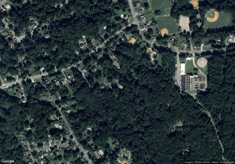
Map
Nearby Homes
- 1419 Mariner Dr
- 33 Sheridan Rd
- 349 Candle Ridge Ct
- 1256 Crowell Ct
- Severn Plan at Ford's Grant
- Newport Plan at Ford's Grant
- Magothy Plan at Ford's Grant
- 131 Admirals Ridge Dr
- 1215 Driftwood Ct
- 332 Carronade Way
- 00 Mazie
- 1512 Winterberry Dr
- 0000 Mazie
- 516 Norton Ln
- 88 Chautaugua Rd
- 493 Colonial Ridge Ln
- 1116 Riverboat Ct
- 1553 Star Pine Dr
- 1583 Star Pine Dr
- 478 Bay Green Dr
- 119 Church Rd
- 125 Church Rd
- 117 Church Rd
- 111 Church Rd
- 121 Church Rd
- 127 Church Rd
- 115 Church Rd
- 131 Church Rd
- 133 Church Rd
- 1318 Jones Station Rd
- 135 Church Rd
- 107 Church Rd
- 110 Church Rd
- 126 Church Rd
- 105 Church Rd
- 114 Church Rd
- 120 Church Rd
- 0 Haneke Rd Unit MDAA2051152
- 1330 Jones Station Rd
- 1317 Jones Station Rd