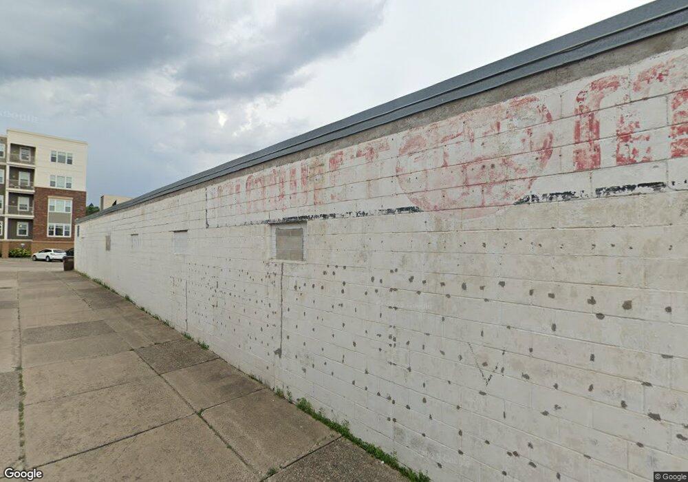
12 1st Ave S Buffalo, MN 55313
Estimated Value: $606,357
--
Bed
3
Baths
6,371
Sq Ft
$95/Sq Ft
Est. Value
About This Home
This home is located at 12 1st Ave S, Buffalo, MN 55313 and is currently estimated at $606,357, approximately $95 per square foot. 12 1st Ave S is a home located in Wright County with nearby schools including Parkside Elementary School, Buffalo Community Middle School, and Buffalo Senior High School.
Ownership History
Date
Name
Owned For
Owner Type
Purchase Details
Closed on
Feb 27, 2015
Current Estimated Value
Home Financials for this Owner
Home Financials are based on the most recent Mortgage that was taken out on this home.
Original Mortgage
$193,000
Outstanding Balance
$148,471
Interest Rate
3.8%
Estimated Equity
$457,886
Purchase Details
Closed on
Apr 12, 2003
Sold by
Johnson Mary and Johnson Andrew
Bought by
Kramer Development Llc
Create a Home Valuation Report for This Property
The Home Valuation Report is an in-depth analysis detailing your home's value as well as a comparison with similar homes in the area
Home Values in the Area
Average Home Value in this Area
Purchase History
| Date | Buyer | Sale Price | Title Company |
|---|---|---|---|
| -- | $195,000 | -- | |
| Kramer Development Llc | $285,000 | -- |
Source: Public Records
Mortgage History
| Date | Status | Borrower | Loan Amount |
|---|---|---|---|
| Open | -- | $193,000 |
Source: Public Records
Tax History Compared to Growth
Tax History
| Year | Tax Paid | Tax Assessment Tax Assessment Total Assessment is a certain percentage of the fair market value that is determined by local assessors to be the total taxable value of land and additions on the property. | Land | Improvement |
|---|---|---|---|---|
| 2025 | $13,354 | $512,200 | $110,600 | $401,600 |
| 2024 | $10,572 | $508,000 | $110,600 | $397,400 |
| 2023 | $7,864 | $430,900 | $99,700 | $331,200 |
| 2022 | $8,804 | $314,000 | $77,400 | $236,600 |
| 2021 | $8,874 | $304,700 | $77,400 | $227,300 |
| 2020 | $9,242 | $304,700 | $77,400 | $227,300 |
| 2019 | $9,190 | $304,700 | $0 | $0 |
| 2018 | $8,854 | $304,700 | $0 | $0 |
| 2017 | $9,572 | $293,900 | $0 | $0 |
| 2016 | $5,734 | $0 | $0 | $0 |
| 2015 | $5,752 | $0 | $0 | $0 |
| 2014 | -- | $0 | $0 | $0 |
Source: Public Records
Map
Nearby Homes
- 107 2nd Ave NE
- 110 1st Ave NE Unit 402
- 210 Lake Blvd S
- 505 1st St NE
- xxx 2nd Ave NE
- 603 1st St S
- 205 3rd St NW
- 403 4th Ave NW
- 605 Highway 55 E
- 609 Lake Blvd S
- 807 2nd Ave NW
- 707 2nd Ave S
- 305 Arcadian Place Unit 1
- 101 Big Woods Ct
- TBD Lake Blvd
- 924 Golden Pond Ct
- 804 Kensington Way
- 1117 Ridgestone Place
- 604 Sunset St
- Biscayne Plan at Settlers Brook
- 14 1st Ave S
- 4 1st Ave S
- 110 Division St E
- 2 1st Ave S
- 114 Division St E
- 3 1st Ave S
- 15 1st Ave S
- 1 1st Ave S
- 2 1st Ave NE
- 2 1st Ave NE
- 111 Division St E
- 18 Division St E
- 112 1st St S
- 25 Division St E
- 12 Division St E
- 15 Division St E
- 11 Division St E
- 201 Division St E
- 134 Lake Blvd S
- 208 Division St E
