12 Bills Ln Orrs Island, ME 04066
Harpswell NeighborhoodEstimated Value: $998,432 - $1,304,000
2
Beds
2
Baths
1,920
Sq Ft
$583/Sq Ft
Est. Value
About This Home
This home is located at 12 Bills Ln, Orrs Island, ME 04066 and is currently estimated at $1,120,108, approximately $583 per square foot. 12 Bills Ln is a home with nearby schools including Mt Ararat High School.
Ownership History
Date
Name
Owned For
Owner Type
Purchase Details
Closed on
May 7, 2018
Sold by
Beattie William B
Bought by
Beattie William B and Beattie Hannah
Current Estimated Value
Home Financials for this Owner
Home Financials are based on the most recent Mortgage that was taken out on this home.
Original Mortgage
$598,000
Interest Rate
4.45%
Mortgage Type
Purchase Money Mortgage
Purchase Details
Closed on
May 26, 2016
Sold by
Gavin Kimberley A
Bought by
Beattie William B
Home Financials for this Owner
Home Financials are based on the most recent Mortgage that was taken out on this home.
Original Mortgage
$428,000
Interest Rate
4%
Mortgage Type
Adjustable Rate Mortgage/ARM
Create a Home Valuation Report for This Property
The Home Valuation Report is an in-depth analysis detailing your home's value as well as a comparison with similar homes in the area
Home Values in the Area
Average Home Value in this Area
Purchase History
| Date | Buyer | Sale Price | Title Company |
|---|---|---|---|
| Beattie William B | -- | -- | |
| Beattie William B | -- | -- |
Source: Public Records
Mortgage History
| Date | Status | Borrower | Loan Amount |
|---|---|---|---|
| Closed | Beattie William B | $598,000 | |
| Closed | Beattie William B | $428,000 |
Source: Public Records
Tax History Compared to Growth
Tax History
| Year | Tax Paid | Tax Assessment Tax Assessment Total Assessment is a certain percentage of the fair market value that is determined by local assessors to be the total taxable value of land and additions on the property. | Land | Improvement |
|---|---|---|---|---|
| 2024 | $5,039 | $792,300 | $396,400 | $395,900 |
| 2023 | $4,833 | $792,300 | $396,400 | $395,900 |
| 2022 | $4,675 | $792,300 | $396,400 | $395,900 |
| 2021 | $3,892 | $575,700 | $284,000 | $291,700 |
| 2020 | $3,880 | $575,700 | $284,000 | $291,700 |
| 2019 | $3,857 | $575,700 | $284,000 | $291,700 |
| 2018 | $3,716 | $573,400 | $284,000 | $289,400 |
| 2017 | $2,970 | $459,700 | $284,000 | $175,700 |
| 2016 | $3,007 | $469,900 | $284,000 | $185,900 |
Source: Public Records
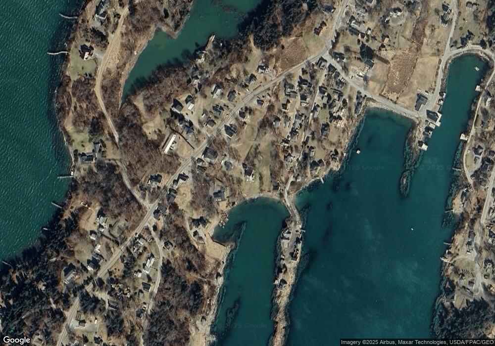
Map
Nearby Homes
- 87 Lowells Cove Rd
- 1689 Harpswell Islands Rd
- 30 Osbourne Row
- 10 Irene Ave
- 0 Bayview Rd Unit 2 1632776
- 1 Mallard Pond Rd
- 1450 Harpswell Neck Rd
- 16 Ash Point Rd Unit 16
- 18 Ash Point Rd
- 10 S Colony Branch Rd
- 41 Spruce Brook Dr
- Lot 2A Allen Point Rd
- Lot 2B Allen Point Rd
- 8 & 2 Kane Ln
- 6 Kane Ln
- 19 Hugh Ave
- Lot 129 Harpswell Neck Rd
- lot C Long Point Rd
- 20 Spruce Ledge Rd
- 205 W Cundys Point
- 8 Bills Ln
- 8 & 12 Bills Lane Orr's Island
- 3 Bills Ln
- 34 Little Island Rd
- 1751 Harpswell Islands Rd
- 1745 Harpswell Islands Rd
- 28 Little Island Rd
- 1749 Harpswell Island Rd
- 1739 Harpswell Island Rd
- 1739 Harpswell Islands Rd
- 16 Steves Ln
- 1735 Harpswell Islands Rd
- 16 Steves Ln
- 20 Little Island Rd
- 4 Beals Cove Rd
- 5 Leeman Rd
- 29 Little Island Rd
- 1738 Harpswell Islands
- 1738 Harpswell Islands Rd
- 1755 Harpswell Islands Rd