12 Brandon St North Billerica, MA 01862
Estimated Value: $725,000 - $848,000
3
Beds
3
Baths
2,376
Sq Ft
$337/Sq Ft
Est. Value
About This Home
This home is located at 12 Brandon St, North Billerica, MA 01862 and is currently estimated at $800,536, approximately $336 per square foot. 12 Brandon St is a home located in Middlesex County with nearby schools including Billerica Memorial High School, Knowledge Beginnings South, and Lighthouse School.
Ownership History
Date
Name
Owned For
Owner Type
Purchase Details
Closed on
Jul 29, 1992
Sold by
Annese Richard L and Murphy Robert
Bought by
Trask Paul A and Trask Mary Anne
Current Estimated Value
Home Financials for this Owner
Home Financials are based on the most recent Mortgage that was taken out on this home.
Original Mortgage
$152,900
Interest Rate
8.46%
Mortgage Type
Purchase Money Mortgage
Create a Home Valuation Report for This Property
The Home Valuation Report is an in-depth analysis detailing your home's value as well as a comparison with similar homes in the area
Home Values in the Area
Average Home Value in this Area
Purchase History
| Date | Buyer | Sale Price | Title Company |
|---|---|---|---|
| Trask Paul A | $169,900 | -- |
Source: Public Records
Mortgage History
| Date | Status | Borrower | Loan Amount |
|---|---|---|---|
| Closed | Trask Paul A | $105,000 | |
| Closed | Trask Paul A | $145,000 | |
| Closed | Trask Paul A | $145,000 | |
| Closed | Trask Paul A | $152,900 |
Source: Public Records
Tax History Compared to Growth
Tax History
| Year | Tax Paid | Tax Assessment Tax Assessment Total Assessment is a certain percentage of the fair market value that is determined by local assessors to be the total taxable value of land and additions on the property. | Land | Improvement |
|---|---|---|---|---|
| 2025 | $7,647 | $672,600 | $285,300 | $387,300 |
| 2024 | $7,439 | $658,900 | $279,600 | $379,300 |
| 2023 | $7,113 | $599,200 | $244,000 | $355,200 |
| 2022 | $6,406 | $506,800 | $212,100 | $294,700 |
| 2021 | $6,180 | $475,400 | $187,300 | $288,100 |
| 2020 | $6,075 | $467,700 | $179,600 | $288,100 |
| 2019 | $5,977 | $443,400 | $179,600 | $263,800 |
| 2018 | $5,754 | $405,500 | $159,400 | $246,100 |
| 2017 | $5,420 | $384,700 | $154,400 | $230,300 |
| 2016 | $5,392 | $381,300 | $151,000 | $230,300 |
| 2015 | $5,353 | $381,300 | $151,000 | $230,300 |
| 2014 | $5,406 | $378,300 | $144,700 | $233,600 |
Source: Public Records
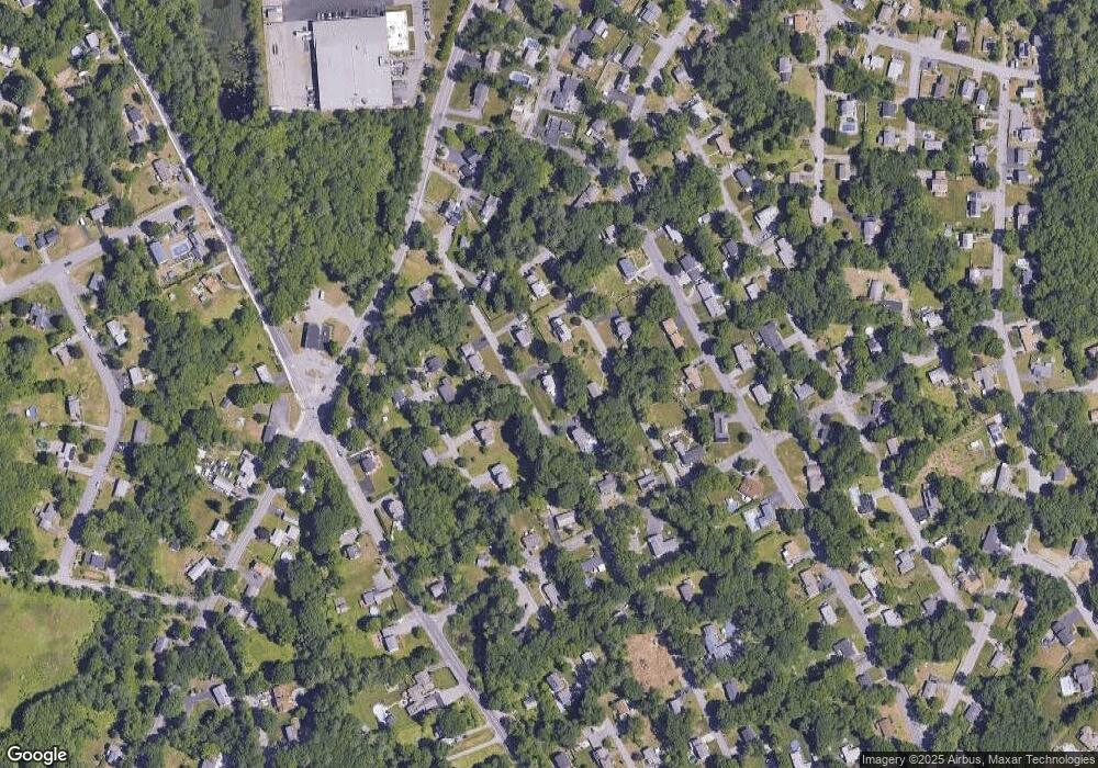
Map
Nearby Homes
- 198 Nashua Rd
- 4 Dove Ln
- 11 Simonds Farm Rd
- 43 Outlook Rd
- 63 Outlook Rd
- 6 Edgehill Rd
- 15 Blades Cir
- 21 Shedd Rd
- 10 Avondale Ave
- 14 Elsie Ave
- 216 Rangeway Rd Unit 192
- 383 E Riding Dr
- 79 Bridle Rd
- 454 Middlesex Turnpike
- 282 Brook St
- Map29-14-1 Rangeway Rd
- 463 Middlesex Turnpike
- 19 Parker St
- 481 Middlesex Turnpike
- 3 Kay's Walk