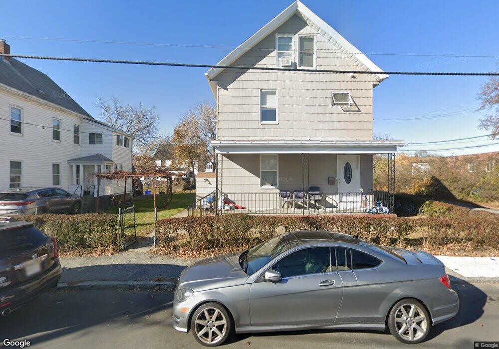
12 Conn St Woburn, MA 01801
Downtown Woburn NeighborhoodEstimated Value: $700,000 - $865,000
5
Beds
2
Baths
2,312
Sq Ft
$332/Sq Ft
Est. Value
About This Home
This home is located at 12 Conn St, Woburn, MA 01801 and is currently estimated at $768,136, approximately $332 per square foot. 12 Conn St is a home located in Middlesex County with nearby schools including Goodyear Elementary School, Daniel L. Joyce Middle School, and Woburn High School.
Ownership History
Date
Name
Owned For
Owner Type
Purchase Details
Closed on
Jul 28, 2021
Sold by
Kalamaris Emmanuel and Kalamaris Irene
Bought by
Kalamaris Prop Mgmt Llc
Current Estimated Value
Purchase Details
Closed on
Jul 13, 1994
Sold by
Duonolo Mary and Gregorio Violet
Bought by
Kalamaris Emmanuel and Kalamaris Irene
Home Financials for this Owner
Home Financials are based on the most recent Mortgage that was taken out on this home.
Original Mortgage
$84,000
Interest Rate
8.51%
Mortgage Type
Purchase Money Mortgage
Create a Home Valuation Report for This Property
The Home Valuation Report is an in-depth analysis detailing your home's value as well as a comparison with similar homes in the area
Home Values in the Area
Average Home Value in this Area
Purchase History
| Date | Buyer | Sale Price | Title Company |
|---|---|---|---|
| Kalamaris Prop Mgmt Llc | -- | None Available | |
| Kalamaris Prop Mgmt Llc | -- | None Available | |
| Kalamaris Emmanuel | $120,000 | -- |
Source: Public Records
Mortgage History
| Date | Status | Borrower | Loan Amount |
|---|---|---|---|
| Previous Owner | Kalamaris Emmanuel | $84,000 |
Source: Public Records
Tax History Compared to Growth
Tax History
| Year | Tax Paid | Tax Assessment Tax Assessment Total Assessment is a certain percentage of the fair market value that is determined by local assessors to be the total taxable value of land and additions on the property. | Land | Improvement |
|---|---|---|---|---|
| 2025 | $5,342 | $625,500 | $260,300 | $365,200 |
| 2024 | $4,867 | $603,900 | $248,000 | $355,900 |
| 2023 | $4,928 | $566,400 | $225,400 | $341,000 |
| 2022 | $4,669 | $499,900 | $196,000 | $303,900 |
| 2021 | $4,381 | $469,600 | $186,700 | $282,900 |
| 2020 | $4,974 | $426,400 | $186,700 | $239,700 |
| 2019 | $1,845 | $386,400 | $177,800 | $208,600 |
| 2018 | $3,614 | $365,400 | $163,100 | $202,300 |
| 2017 | $3,245 | $326,500 | $155,300 | $171,200 |
| 2016 | $3,040 | $302,500 | $145,200 | $157,300 |
| 2015 | $2,980 | $293,000 | $135,700 | $157,300 |
| 2014 | $2,934 | $281,000 | $135,700 | $145,300 |
Source: Public Records
Map
Nearby Homes
- 14 Ash St
- 44 Main St
- 61 Mount Pleasant St
- 14 Cross St
- 15 Sturgis St
- 64 Garfield Ave
- 35 Prospect St Unit 215
- 35 Prospect St Unit 204
- 39 Garfield Ave
- 69 Eastern Ave
- 29 Arlington Rd Unit 4
- 27 Arlington Rd Unit 1-6
- 31 Arlington Rd Unit 1-6
- 7 Prospect St
- 2 George Rd Unit 2
- 18 Beacon St Unit 18
- 149 Horn Pond Brook Rd
- 62 Jefferson Ave
- 52 Pleasant St
- 29 Shepard Ct