12 Corbin Rd Woodstock, CT 06281
Estimated Value: $455,500
3
Beds
3
Baths
1,567
Sq Ft
$291/Sq Ft
Est. Value
About This Home
This home is located at 12 Corbin Rd, Woodstock, CT 06281 and is currently priced at $455,500, approximately $290 per square foot. 12 Corbin Rd is a home located in Windham County with nearby schools including Woodstock Elementary School and Woodstock Middle School.
Ownership History
Date
Name
Owned For
Owner Type
Purchase Details
Closed on
Sep 25, 2002
Sold by
Rhynhart Kenneth G and Rhynhart Ann B
Bought by
Rhynhart Hans D and Rhynhart Elizabeth
Current Estimated Value
Home Financials for this Owner
Home Financials are based on the most recent Mortgage that was taken out on this home.
Original Mortgage
$138,750
Interest Rate
6.25%
Create a Home Valuation Report for This Property
The Home Valuation Report is an in-depth analysis detailing your home's value as well as a comparison with similar homes in the area
Home Values in the Area
Average Home Value in this Area
Purchase History
| Date | Buyer | Sale Price | Title Company |
|---|---|---|---|
| Rhynhart Hans D | $175,000 | -- |
Source: Public Records
Mortgage History
| Date | Status | Borrower | Loan Amount |
|---|---|---|---|
| Closed | Rhynhart Hans D | $205,000 | |
| Closed | Rhynhart Hans D | $10,000 | |
| Closed | Rhynhart Hans D | $219,200 | |
| Closed | Rhynhart Hans D | $138,750 |
Source: Public Records
Tax History Compared to Growth
Tax History
| Year | Tax Paid | Tax Assessment Tax Assessment Total Assessment is a certain percentage of the fair market value that is determined by local assessors to be the total taxable value of land and additions on the property. | Land | Improvement |
|---|---|---|---|---|
| 2022 | $3,503 | $168,000 | $39,500 | $128,500 |
| 2021 | $3,583 | $140,500 | $39,500 | $101,000 |
| 2020 | $2,984 | $121,800 | $39,500 | $82,300 |
| 2019 | $2,984 | $121,800 | $39,500 | $82,300 |
| 2018 | $2,984 | $121,800 | $39,500 | $82,300 |
| 2017 | $2,960 | $121,800 | $39,500 | $82,300 |
| 2016 | $2,930 | $121,900 | $50,000 | $71,900 |
| 2015 | $2,848 | $121,900 | $50,000 | $71,900 |
| 2014 | $2,816 | $121,900 | $50,000 | $71,900 |
Source: Public Records
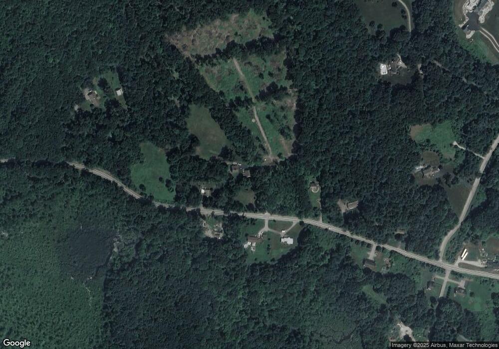
Map
Nearby Homes
- 1820 Route 197
- 0 Rr 197 Rd
- 381 Bungay Hill Rd
- 278 Child Rd
- 10 Laurel Hill Dr
- 29 Crooked Trail Extension
- 56 Laurel Hill Dr
- 19 Hiawatha Heights
- 70 Laurel Hill Dr
- 23 Little Bungee Hill Rd
- 80 Bungay Hill Rd
- 0 Hemlock Dr
- 60 Indian Spring Rd
- 30 Lyon Rd
- 0 Aplin Hill Ln
- 00 Ide Perrin Rd
- 4 Perrin Rd
- 21 Howard Rd
- 101 Center Rd
- 145 Perrin Rd
- 1843 Route 197
- 1836 Route 197
- 1811 Route 197
- 1811 Route 197 Unit 1811
- 1822 Route 197
- 1809 Route 197
- 1796B Route 197
- 1799 Route 197
- 1871 Route 197
- 38 Herindeen Landing
- 6 Herindeen Landing
- 0 Herindeen Landing Unit 170042762
- 0 Herindeen Landing Unit E227153
- 0 Herindeen Landing Unit E236438
- 0 Herindeen Landing Unit E216890
- 0 Herindeen Landing Unit E218736
- 0 Herindeen Landing Unit E222013
- 0 Herindeen Landing Unit E224698
- 0 Herindeen Landing Unit E227151
- 0 Herindeen Landing Unit G681430