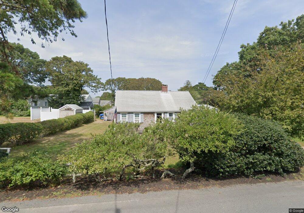
12 Deep Hole Rd South Chatham, MA 02659
South Chatham NeighborhoodEstimated Value: $775,000 - $870,000
1
Bed
1
Bath
816
Sq Ft
$1,002/Sq Ft
Est. Value
About This Home
This home is located at 12 Deep Hole Rd, South Chatham, MA 02659 and is currently estimated at $817,497, approximately $1,001 per square foot. 12 Deep Hole Rd is a home located in Barnstable County with nearby schools including Harwich Elementary School, Chatham Elementary School, and Monomoy Regional Middle School.
Ownership History
Date
Name
Owned For
Owner Type
Purchase Details
Closed on
Mar 5, 2007
Sold by
Mcintire Claire M and Oneil Mary Lou
Bought by
Mcintire Claire M and Mcintire Kenneth J
Current Estimated Value
Purchase Details
Closed on
Jan 29, 1993
Sold by
Rizzo Barbara T
Bought by
Oneil Mary Lou and Mcintire Claire
Home Financials for this Owner
Home Financials are based on the most recent Mortgage that was taken out on this home.
Original Mortgage
$50,000
Interest Rate
8.16%
Mortgage Type
Purchase Money Mortgage
Create a Home Valuation Report for This Property
The Home Valuation Report is an in-depth analysis detailing your home's value as well as a comparison with similar homes in the area
Home Values in the Area
Average Home Value in this Area
Purchase History
| Date | Buyer | Sale Price | Title Company |
|---|---|---|---|
| Mcintire Claire M | -- | -- | |
| Oneil Mary Lou | $117,000 | -- |
Source: Public Records
Mortgage History
| Date | Status | Borrower | Loan Amount |
|---|---|---|---|
| Previous Owner | Oneil Mary Lou | $50,000 |
Source: Public Records
Tax History Compared to Growth
Tax History
| Year | Tax Paid | Tax Assessment Tax Assessment Total Assessment is a certain percentage of the fair market value that is determined by local assessors to be the total taxable value of land and additions on the property. | Land | Improvement |
|---|---|---|---|---|
| 2025 | $2,466 | $710,700 | $443,100 | $267,600 |
| 2024 | $2,214 | $620,200 | $418,000 | $202,200 |
| 2023 | $2,066 | $532,400 | $348,300 | $184,100 |
| 2022 | $2,083 | $450,900 | $348,300 | $102,600 |
| 2021 | $1,943 | $390,200 | $296,800 | $93,400 |
| 2020 | $1,784 | $370,200 | $277,000 | $93,200 |
| 2019 | $1,756 | $362,000 | $277,500 | $84,500 |
| 2018 | $1,736 | $356,500 | $277,500 | $79,000 |
| 2017 | $1,753 | $348,600 | $269,300 | $79,300 |
| 2016 | $1,729 | $344,400 | $264,100 | $80,300 |
| 2015 | $1,676 | $335,800 | $256,600 | $79,200 |
| 2014 | $1,706 | $335,900 | $256,600 | $79,300 |
Source: Public Records
Map
Nearby Homes
- 216 Forest Beach Rd
- 41 Woodland Rd
- 72 Forest Beach Rd
- 72 Forest Beach Rd
- Lot 6 Bobbie's Ln
- 79 Forest Beach Rd
- 19 Deer Run
- 1011 Massachusetts 28 Unit C-6
- 1011 Route 28 Unit 6
- 2548 Main St
- 2550 Main St
- 50 Hillside Rd
- 15 Sylvan Way
- 48 Sylvan Way
- 6 Skinequit Pond Rd
- 2386 Main St
- 6 Marthas Ln
- 314 Cockle Cove Rd
- 0 Tirrells Way
- 252 Chatham Rd
- 19 Glendon Way
- 190 Pleasant St
- 24 Deep Hole Rd
- 25 Glendon Way
- 17 Deep Hole Rd
- 18 Glendon Way
- 206 Pleasant St
- 37 Glendon Way
- 33 Deep Hole Rd
- 23 Deep Hole Rd
- 15 Aunt Deborahs Ln
- 30 Glendon Way
- 36 Deep Hole Rd
- 168 Pleasant St
- 189 Pleasant St
- 317 Pleasant St
- 0 Pleasant St
- 37 Deep Hole Rd
- 171 Pleasant St
- 152 Pleasant St