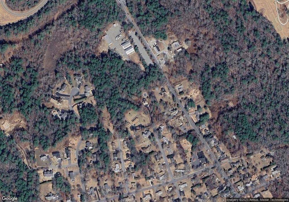
12 Gosnold St Mattapoisett, MA 02739
Estimated Value: $574,000 - $640,000
3
Beds
2
Baths
1,479
Sq Ft
$415/Sq Ft
Est. Value
About This Home
This home is located at 12 Gosnold St, Mattapoisett, MA 02739 and is currently estimated at $613,266, approximately $414 per square foot. 12 Gosnold St is a home located in Plymouth County with nearby schools including Center School, Old Hammondtown Elementary, and Old Rochester Regional High School.
Create a Home Valuation Report for This Property
The Home Valuation Report is an in-depth analysis detailing your home's value as well as a comparison with similar homes in the area
Home Values in the Area
Average Home Value in this Area
Tax History Compared to Growth
Tax History
| Year | Tax Paid | Tax Assessment Tax Assessment Total Assessment is a certain percentage of the fair market value that is determined by local assessors to be the total taxable value of land and additions on the property. | Land | Improvement |
|---|---|---|---|---|
| 2025 | $4,885 | $454,000 | $209,400 | $244,600 |
| 2024 | $4,686 | $445,900 | $209,400 | $236,500 |
| 2023 | $4,889 | $434,600 | $187,400 | $247,200 |
| 2022 | $4,723 | $380,900 | $157,200 | $223,700 |
| 2021 | $5,047 | $389,400 | $174,000 | $215,400 |
| 2020 | $5,148 | $381,600 | $166,200 | $215,400 |
| 2019 | $5,128 | $388,200 | $166,200 | $222,000 |
| 2018 | $4,200 | $322,600 | $147,900 | $174,700 |
| 2017 | $4,216 | $322,600 | $147,900 | $174,700 |
| 2016 | $4,352 | $329,700 | $155,000 | $174,700 |
| 2015 | $4,194 | $322,600 | $147,900 | $174,700 |
| 2014 | $4,176 | $328,300 | $147,900 | $180,400 |
Source: Public Records
Map
Nearby Homes
- 10 Gosnold St
- 13 Park Place
- 6 Golf Cottage Way
- 9 Hitching Post Rd
- 35 North St
- 4 Beech Tree Ln
- 52 Prince Snow Cir
- 20 Cannon St
- 12 Cannon St
- 7 Pearl St
- 19 High Ridge Dr
- 8 Captains Ln
- 11 Captains Ln
- 31 Split Rock Ln
- 10 Shagbark Cr
- 15 Ned's Point Rd
- 86 Fairhaven Rd
- 18 Pine Island Rd
- 2 Golf Cottage Way
- 4 Golf Cottage Way
