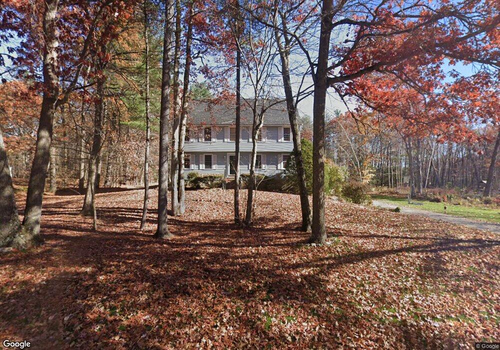
12 Hazelnut Ln Londonderry, NH 03053
Estimated Value: $658,357 - $687,000
4
Beds
3
Baths
2,160
Sq Ft
$311/Sq Ft
Est. Value
About This Home
This home is located at 12 Hazelnut Ln, Londonderry, NH 03053 and is currently estimated at $671,339, approximately $310 per square foot. 12 Hazelnut Ln is a home with nearby schools including Matthew Thornton Elementary School, Londonderry Middle School, and Londonderry Senior High School.
Ownership History
Date
Name
Owned For
Owner Type
Purchase Details
Closed on
Sep 19, 2024
Sold by
Aaron Edward G and Aaron Mona E
Bought by
Mona and Mona Ed Aaron
Current Estimated Value
Purchase Details
Closed on
Apr 29, 1999
Sold by
Marotta John D and Marotta Geraldine R
Bought by
Aaron Edward G and Aaron Mona E
Purchase Details
Closed on
Aug 26, 1998
Sold by
Ward Wesley C and Ward Kathleen M
Bought by
Marotta John D and Marotta Geraldine R
Create a Home Valuation Report for This Property
The Home Valuation Report is an in-depth analysis detailing your home's value as well as a comparison with similar homes in the area
Home Values in the Area
Average Home Value in this Area
Purchase History
| Date | Buyer | Sale Price | Title Company |
|---|---|---|---|
| Mona | -- | None Available | |
| Mona | -- | None Available | |
| Aaron Edward G | $194,500 | -- | |
| Marotta John D | $189,900 | -- | |
| Aaron Edward G | $194,500 | -- | |
| Marotta John D | $189,900 | -- |
Source: Public Records
Mortgage History
| Date | Status | Borrower | Loan Amount |
|---|---|---|---|
| Previous Owner | Aaron Edward G | $375,000 | |
| Previous Owner | Aaron Edward G | $376,800 | |
| Previous Owner | Aaron Edward G | $75,000 | |
| Previous Owner | Aaron Edward G | $250,000 | |
| Previous Owner | Marotta John D | $195,800 | |
| Previous Owner | Marotta John D | $235,266 | |
| Previous Owner | Marotta John D | $88,000 |
Source: Public Records
Tax History Compared to Growth
Tax History
| Year | Tax Paid | Tax Assessment Tax Assessment Total Assessment is a certain percentage of the fair market value that is determined by local assessors to be the total taxable value of land and additions on the property. | Land | Improvement |
|---|---|---|---|---|
| 2024 | $8,812 | $546,000 | $219,900 | $326,100 |
| 2023 | $8,545 | $546,000 | $219,900 | $326,100 |
| 2022 | $8,057 | $436,000 | $164,800 | $271,200 |
| 2021 | $8,014 | $436,000 | $164,800 | $271,200 |
| 2020 | $8,032 | $399,400 | $134,200 | $265,200 |
| 2019 | $7,744 | $399,400 | $134,200 | $265,200 |
| 2018 | $7,347 | $337,000 | $111,100 | $225,900 |
| 2017 | $7,360 | $340,600 | $111,100 | $229,500 |
| 2016 | $7,323 | $340,600 | $111,100 | $229,500 |
| 2015 | $7,159 | $340,600 | $111,100 | $229,500 |
| 2014 | $7,183 | $340,600 | $111,100 | $229,500 |
| 2011 | -- | $346,600 | $111,100 | $235,500 |
Source: Public Records
Map
Nearby Homes
- 193 Fieldstone Dr
- 193 Fieldstone Dr Unit 193
- 169 Fieldstone Dr
- 118 Fieldstone Dr Unit 118
- 35 Red Deer Rd
- 224 High Range Rd
- 11 Elise Ave Unit Lot 91
- 57 Hardy Rd
- 17 Welch Rd
- 38 Bartley Hill Rd
- 10 Judy Dr
- 27 Buckingham Dr
- 20 Wedgewood Dr
- 50 Bartley Hill Rd
- 32 Noyes Rd
- 15 Harvey Rd
- 36 Perkins Rd
- 4 Crestview Cir Unit 119
- 75 Rockingham Rd
- 28 Barksdale Ave