12 Hunter Ct Egg Harbor Township, NJ 08234
Estimated Value: $419,382 - $430,000
--
Bed
--
Bath
1,620
Sq Ft
$263/Sq Ft
Est. Value
About This Home
This home is located at 12 Hunter Ct, Egg Harbor Township, NJ 08234 and is currently estimated at $425,846, approximately $262 per square foot. 12 Hunter Ct is a home located in Atlantic County with nearby schools including Egg Harbor Township High School, Atlantic Christian School, and Gospel of Grace Christian School.
Ownership History
Date
Name
Owned For
Owner Type
Purchase Details
Closed on
Nov 15, 2004
Sold by
Wilson Craig
Bought by
Manley Christine and Mcavaddy Michael
Current Estimated Value
Home Financials for this Owner
Home Financials are based on the most recent Mortgage that was taken out on this home.
Original Mortgage
$226,598
Outstanding Balance
$112,401
Interest Rate
5.69%
Estimated Equity
$313,445
Purchase Details
Closed on
Aug 31, 2001
Sold by
I M Land Llc
Bought by
Wilson Craig R and Wilson Sheri D
Home Financials for this Owner
Home Financials are based on the most recent Mortgage that was taken out on this home.
Original Mortgage
$130,190
Interest Rate
6.99%
Create a Home Valuation Report for This Property
The Home Valuation Report is an in-depth analysis detailing your home's value as well as a comparison with similar homes in the area
Home Values in the Area
Average Home Value in this Area
Purchase History
| Date | Buyer | Sale Price | Title Company |
|---|---|---|---|
| Manley Christine | $240,000 | -- | |
| Manley Christine | $240,000 | -- | |
| Manley Christine | $240,000 | -- | |
| Wilson Craig R | $146,190 | Fidelity National Title Ins |
Source: Public Records
Mortgage History
| Date | Status | Borrower | Loan Amount |
|---|---|---|---|
| Open | Manley Christine | $226,598 | |
| Closed | Manley Christine | $226,598 | |
| Previous Owner | Wilson Craig R | $130,190 | |
| Closed | Manley Christine | $0 |
Source: Public Records
Tax History Compared to Growth
Tax History
| Year | Tax Paid | Tax Assessment Tax Assessment Total Assessment is a certain percentage of the fair market value that is determined by local assessors to be the total taxable value of land and additions on the property. | Land | Improvement |
|---|---|---|---|---|
| 2025 | $6,319 | $188,400 | $53,800 | $134,600 |
| 2024 | $6,319 | $188,400 | $53,800 | $134,600 |
| 2023 | $6,283 | $188,400 | $53,800 | $134,600 |
| 2022 | $6,283 | $188,400 | $53,800 | $134,600 |
| 2021 | $6,334 | $188,400 | $53,800 | $134,600 |
| 2020 | $6,219 | $188,400 | $53,800 | $134,600 |
| 2019 | $6,050 | $188,400 | $53,800 | $134,600 |
| 2018 | $5,920 | $188,400 | $53,800 | $134,600 |
| 2017 | $5,899 | $188,400 | $53,800 | $134,600 |
| 2016 | $5,665 | $188,400 | $53,800 | $134,600 |
| 2015 | $5,582 | $188,400 | $53,800 | $134,600 |
| 2014 | $5,480 | $188,700 | $53,800 | $134,900 |
Source: Public Records
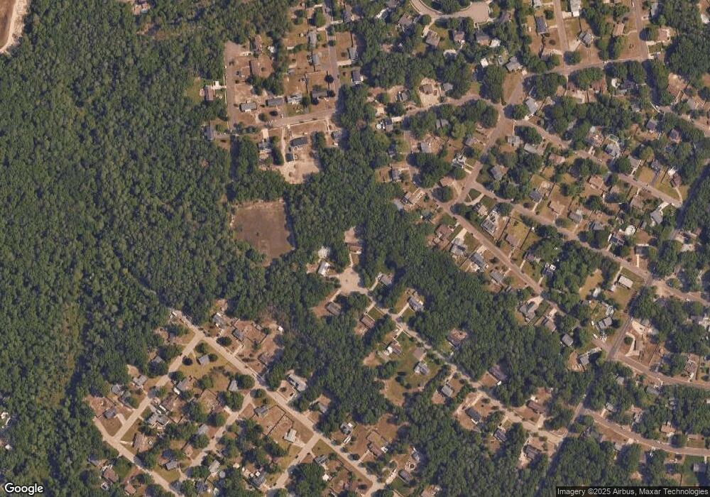
Map
Nearby Homes
- 106 Jerome Ave
- 7 Fairview Dr
- 115 Grant Ave
- 81 Robert Best Rd
- 89 Robert Best Rd
- 219 Mitchell Dr
- 202 Iowa Ave
- 161 Laquinta Dr
- 172 Laquinta Dr
- 201 Spyglass Ct
- 202 Ohio Ave
- 85 Marshall Dr
- 300 Glen Dornoch Ln
- 126 Marshall Dr
- 202 Drexel Ave
- 14 Rushwood Dr
- 113 Lighthouse Ln
- 506 Zion Rd
- 2163 Ocean Heights Ave
- 218 Daytona Rd