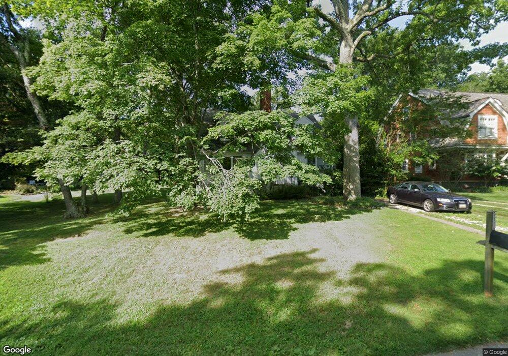
12 Mayo Ave Annapolis, MD 21403
Estimated Value: $1,274,414 - $1,429,000
--
Bed
2
Baths
2,208
Sq Ft
$622/Sq Ft
Est. Value
About This Home
This home is located at 12 Mayo Ave, Annapolis, MD 21403 and is currently estimated at $1,374,354, approximately $622 per square foot. 12 Mayo Ave is a home located in Anne Arundel County with nearby schools including Georgetown East Elementary School, Annapolis Middle School, and Annapolis High School.
Ownership History
Date
Name
Owned For
Owner Type
Purchase Details
Closed on
Jul 3, 2024
Sold by
Cronin David W
Bought by
Cronin Alec O
Current Estimated Value
Purchase Details
Closed on
May 17, 2023
Sold by
L Eugene Cronin Trust and Alice W Cronin Residuary Trust
Bought by
Cronin David W
Purchase Details
Closed on
Mar 10, 2023
Sold by
Cronin David W
Bought by
Alice W Cronin Residuary Trust
Purchase Details
Closed on
Jan 24, 2000
Sold by
Cronin Lewis E
Bought by
Cronin Alice W and Cronin David W
Create a Home Valuation Report for This Property
The Home Valuation Report is an in-depth analysis detailing your home's value as well as a comparison with similar homes in the area
Home Values in the Area
Average Home Value in this Area
Purchase History
| Date | Buyer | Sale Price | Title Company |
|---|---|---|---|
| Cronin Alec O | -- | None Listed On Document | |
| Cronin Alec O | -- | None Listed On Document | |
| Cronin David W | -- | None Listed On Document | |
| Cronin David W | -- | None Listed On Document | |
| Alice W Cronin Residuary Trust | -- | None Listed On Document | |
| Alice W Cronin Residuary Trust | -- | None Listed On Document | |
| Cronin Alice W | -- | -- |
Source: Public Records
Tax History Compared to Growth
Tax History
| Year | Tax Paid | Tax Assessment Tax Assessment Total Assessment is a certain percentage of the fair market value that is determined by local assessors to be the total taxable value of land and additions on the property. | Land | Improvement |
|---|---|---|---|---|
| 2025 | $11,232 | $971,400 | -- | -- |
| 2024 | $11,232 | $886,800 | $0 | $0 |
| 2023 | $10,113 | $802,200 | $672,500 | $129,700 |
| 2022 | $7,946 | $760,400 | $0 | $0 |
| 2021 | $4,945 | $718,600 | $0 | $0 |
| 2020 | $4,945 | $676,800 | $522,500 | $154,300 |
| 2019 | $9,745 | $676,800 | $522,500 | $154,300 |
| 2018 | $6,863 | $676,800 | $522,500 | $154,300 |
| 2017 | $4,570 | $680,500 | $0 | $0 |
| 2016 | -- | $667,367 | $0 | $0 |
| 2015 | -- | $654,233 | $0 | $0 |
| 2014 | -- | $641,100 | $0 | $0 |
Source: Public Records
Map
Nearby Homes
- 93 Bay Dr
- 12 Decatur Ave
- 30 Decatur Ave
- 48 E Lake Dr
- 45 E Lake Dr
- 3137 Catrina Ln
- 3176 Catrina Ln
- 3300 Shore Dr
- 1193 Bay Highlands Dr
- 3117 Port Way
- 1141 Mainsail Dr
- 3130 Starboard Dr
- 3365 Arundel on The Bay Rd
- 1352 Fishing Creek Rd
- 1350 Fishing Creek Rd
- 3276 Kitty Duvall Dr
- 2514 Lyon Dr
- 1114 Bay Ridge Rd
- 3410 Newport Ave
- 1217 Cross Rd