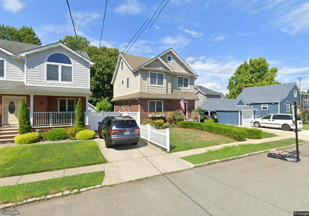
12 Raymond Ave Staten Island, NY 10314
Westerleigh NeighborhoodEstimated Value: $761,952 - $887,000
--
Bed
4
Baths
1,612
Sq Ft
$515/Sq Ft
Est. Value
About This Home
This home is located at 12 Raymond Ave, Staten Island, NY 10314 and is currently estimated at $829,488, approximately $514 per square foot. 12 Raymond Ave is a home located in Richmond County with nearby schools including P.S. 29 Bardwell, Intermediate School 27, and Susan E Wagner High School.
Ownership History
Date
Name
Owned For
Owner Type
Purchase Details
Closed on
Jun 6, 2003
Sold by
Wisniewski Frances
Bought by
Hutchinson James and Kelly Kristine
Current Estimated Value
Home Financials for this Owner
Home Financials are based on the most recent Mortgage that was taken out on this home.
Original Mortgage
$278,000
Interest Rate
6.31%
Mortgage Type
Purchase Money Mortgage
Create a Home Valuation Report for This Property
The Home Valuation Report is an in-depth analysis detailing your home's value as well as a comparison with similar homes in the area
Home Values in the Area
Average Home Value in this Area
Purchase History
| Date | Buyer | Sale Price | Title Company |
|---|---|---|---|
| Hutchinson James | $310,000 | -- |
Source: Public Records
Mortgage History
| Date | Status | Borrower | Loan Amount |
|---|---|---|---|
| Previous Owner | Hutchinson James | $278,000 |
Source: Public Records
Tax History Compared to Growth
Tax History
| Year | Tax Paid | Tax Assessment Tax Assessment Total Assessment is a certain percentage of the fair market value that is determined by local assessors to be the total taxable value of land and additions on the property. | Land | Improvement |
|---|---|---|---|---|
| 2025 | $8,438 | $53,040 | $7,391 | $45,649 |
| 2024 | $8,450 | $55,080 | $6,715 | $48,365 |
| 2023 | $8,033 | $40,954 | $6,842 | $34,112 |
| 2022 | $7,889 | $49,560 | $8,520 | $41,040 |
| 2021 | $8,251 | $42,420 | $8,520 | $33,900 |
| 2020 | $7,821 | $43,860 | $8,520 | $35,340 |
| 2019 | $7,275 | $41,460 | $8,520 | $32,940 |
| 2018 | $6,659 | $34,128 | $6,923 | $27,205 |
| 2017 | $6,657 | $34,128 | $7,525 | $26,603 |
| 2016 | $6,461 | $33,871 | $7,365 | $26,506 |
| 2015 | $5,480 | $31,954 | $6,523 | $25,431 |
| 2014 | $5,480 | $30,146 | $7,044 | $23,102 |
Source: Public Records
Map
Nearby Homes
- 80 Kemball Ave
- 148 Sturges St
- 25 Coale Ave
- 136 Sturges St
- 36 Sawyer Ave
- 160 Westcott Blvd
- 21 Winthrop Place
- 25 Winthrop Place
- 80 Beechwood Place
- 125 Westcott Blvd
- 254 Rice Ave
- 33 Gower St
- 27 Sommers Ln
- 328 Manor Rd
- 142 Margaretta Ct
- 100 Knox Place
- 1625 Victory Blvd
- 126 Slosson Ave
- 86 Clermont Place
- 83 N Gannon Ave Unit A