12 Riverbend Dr Oxford, CT 06478
Estimated Value: $602,964 - $614,000
2
Beds
4
Baths
1,664
Sq Ft
$366/Sq Ft
Est. Value
About This Home
This home is located at 12 Riverbend Dr, Oxford, CT 06478 and is currently estimated at $608,991, approximately $365 per square foot. 12 Riverbend Dr is a home located in New Haven County with nearby schools including Quaker Farms School, Oxford Middle School, and Oxford High School.
Ownership History
Date
Name
Owned For
Owner Type
Purchase Details
Closed on
May 4, 2020
Sold by
Decesare Vincent E and Decesare Theresa A
Bought by
Decesare Ret
Current Estimated Value
Purchase Details
Closed on
Sep 7, 2010
Sold by
Oxford Riverbend Llc
Bought by
Decesare Vincent E and Decesare Theresa A
Home Financials for this Owner
Home Financials are based on the most recent Mortgage that was taken out on this home.
Original Mortgage
$100,000
Interest Rate
2.99%
Create a Home Valuation Report for This Property
The Home Valuation Report is an in-depth analysis detailing your home's value as well as a comparison with similar homes in the area
Home Values in the Area
Average Home Value in this Area
Purchase History
| Date | Buyer | Sale Price | Title Company |
|---|---|---|---|
| Decesare Ret | -- | None Available | |
| Decesare Ret | -- | None Available | |
| Decesare Vincent E | $462,500 | -- | |
| Decesare Vincent E | $462,500 | -- |
Source: Public Records
Mortgage History
| Date | Status | Borrower | Loan Amount |
|---|---|---|---|
| Previous Owner | Decesare Vincent E | $100,000 |
Source: Public Records
Tax History Compared to Growth
Tax History
| Year | Tax Paid | Tax Assessment Tax Assessment Total Assessment is a certain percentage of the fair market value that is determined by local assessors to be the total taxable value of land and additions on the property. | Land | Improvement |
|---|---|---|---|---|
| 2025 | $8,609 | $430,220 | $0 | $430,220 |
| 2024 | $8,128 | $314,900 | $0 | $314,900 |
| 2023 | $7,718 | $314,900 | $0 | $314,900 |
| 2022 | $7,671 | $314,900 | $0 | $314,900 |
| 2021 | $7,227 | $314,200 | $0 | $314,200 |
| 2020 | $7,007 | $293,900 | $0 | $293,900 |
| 2019 | $7,007 | $293,900 | $0 | $293,900 |
| 2018 | $6,774 | $293,900 | $0 | $293,900 |
| 2017 | $6,528 | $293,900 | $0 | $293,900 |
| 2016 | $7,115 | $293,900 | $0 | $293,900 |
| 2015 | $7,733 | $309,800 | $0 | $309,800 |
| 2014 | $7,685 | $309,000 | $0 | $309,000 |
Source: Public Records
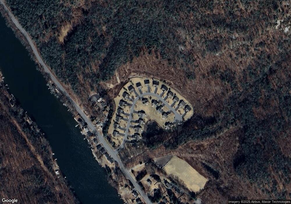
Map
Nearby Homes
- 567 Roosevelt Dr
- 154 Longfellow Rd
- 44 Princess Wenonah Dr
- 5 Robert Frost Dr
- 297 Loughlin Rd
- 19 Carriage Dr
- 108 Webb Cir
- 18 Carriage Dr
- 14 Spruce Brook Rd
- 256 Roosevelt Dr
- 181 Great Hill Rd
- 0 Punkup Rd
- 3 Brookside Trail
- 23 Revere Rd
- 85 Far Horizons Dr
- 26 Stendahl Dr
- 30 E Village Rd
- 55 Tram Dr
- 44 Block Farm Rd
- lot11 Fiddlehead Rd
- 8 Riverbend Dr Unit 8
- 6 Riverbend Dr Unit 6
- 4 Riverbend Dr
- 2 Riverbend Dr
- 20 Riverbend Dr Unit 20
- 14 Riverbend Dr Unit 14
- 4 Riverbend Dr Unit 4
- 20 Riverbend Dr
- 14 Riverbend Dr
- 6 Riverbend Dr
- 10 Riverbend Dr Unit 10
- LOT 4 Riverbend Dr Unit LOT 4
- LOT 16 Riverbend Unit L 16
- LOT 16 Riverbend
- LOT 9 Riverbend Dr Unit L 9
- LOT 9 Riverbend Dr Unit 9
- LOT 4 Riverbend Dr Unit L4
- LOT 4 Riverbend Dr
- Lot 17 Riverbend Dr Unit 17
- Lot 25 Riverbend Unit 25