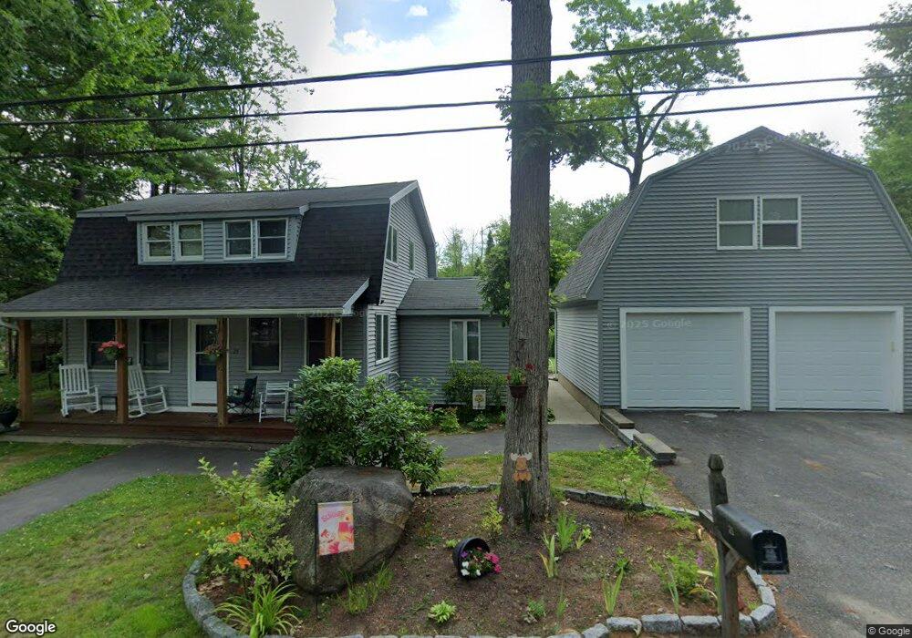
12 Roosevelt Ln Laconia, NH 03246
Estimated Value: $315,000 - $424,000
3
Beds
1
Bath
880
Sq Ft
$408/Sq Ft
Est. Value
About This Home
This home is located at 12 Roosevelt Ln, Laconia, NH 03246 and is currently estimated at $358,602, approximately $407 per square foot. 12 Roosevelt Ln is a home located in Belknap County with nearby schools including Laconia Middle School and Laconia High School.
Ownership History
Date
Name
Owned For
Owner Type
Purchase Details
Closed on
Sep 18, 2007
Sold by
Burns Alan F and Burns Gayle L
Bought by
Colameta Edward
Current Estimated Value
Home Financials for this Owner
Home Financials are based on the most recent Mortgage that was taken out on this home.
Original Mortgage
$150,480
Outstanding Balance
$95,907
Interest Rate
6.7%
Mortgage Type
Purchase Money Mortgage
Estimated Equity
$262,695
Create a Home Valuation Report for This Property
The Home Valuation Report is an in-depth analysis detailing your home's value as well as a comparison with similar homes in the area
Home Values in the Area
Average Home Value in this Area
Purchase History
| Date | Buyer | Sale Price | Title Company |
|---|---|---|---|
| Colameta Edward | $158,400 | -- |
Source: Public Records
Mortgage History
| Date | Status | Borrower | Loan Amount |
|---|---|---|---|
| Open | Colameta Edward | $150,480 |
Source: Public Records
Tax History Compared to Growth
Tax History
| Year | Tax Paid | Tax Assessment Tax Assessment Total Assessment is a certain percentage of the fair market value that is determined by local assessors to be the total taxable value of land and additions on the property. | Land | Improvement |
|---|---|---|---|---|
| 2024 | $3,080 | $226,000 | $117,000 | $109,000 |
| 2023 | $2,913 | $209,400 | $104,100 | $105,300 |
| 2022 | $2,700 | $181,800 | $91,900 | $89,900 |
| 2021 | $2,671 | $141,600 | $61,100 | $80,500 |
| 2020 | $2,625 | $133,100 | $52,600 | $80,500 |
| 2019 | $2,776 | $134,800 | $49,300 | $85,500 |
| 2018 | $2,982 | $143,000 | $48,400 | $94,600 |
| 2017 | $1,773 | $84,300 | $48,400 | $35,900 |
| 2016 | $1,825 | $82,200 | $46,300 | $35,900 |
| 2015 | $2,420 | $109,000 | $48,700 | $60,300 |
| 2014 | $2,439 | $108,900 | $48,600 | $60,300 |
| 2013 | $2,347 | $106,300 | $46,000 | $60,300 |
Source: Public Records
Map
Nearby Homes
- 54 Mckinley Rd Unit 5
- 267 Sterling Dr
- 291 Sterling Dr
- 266 Sterling Dr
- 164 Edgewater Dr
- 280 Sterling Dr
- 276 Sterling Dr
- 288 Sterling Dr
- 60 Colonial Rd
- 38 Sparrow Ln
- 596 Endicott St E
- 1187 Weirs Blvd
- 1152 Weirs Blvd Unit 7
- 10 Echo Ln
- 733 White Oaks Rd
- 76 Endicott St N
- 130 Endicott St N Unit 104
- 36 Vantage Point Dr Unit 4
- 36 Vantage Point Dr Unit 1
- 36 Vantage Point Dr Unit 3
- 13 Zebley Shore Rd
- 16 Roosevelt Ln
- 13 Zebley Shore Rd
- 25 Mckinley Rd
- 35 Mckinley Rd
- 22 Roosevelt Ln
- 17 Mckinley Rd
- 36 Mckinley Rd
- 26 Mckinley Rd
- 9 Mckinley Rd
- 97 Pendleton Rd
- 7 Mckinley Rd Unit 7
- 93 Pendleton Rd
- 55 Mckinley Rd
- 105 Pendleton Rd
- 28 Zebley Shore Rd
- 1 Mckinley Rd
- 111 Pendleton Rd
- 54 Mckinley Rd Unit 8
- 54 Mckinley Rd Unit 7