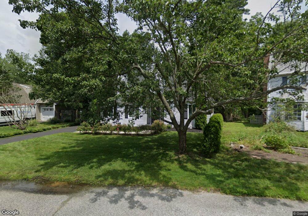
12 S Independence Place Galloway, NJ 08205
Estimated Value: $353,548 - $441,000
--
Bed
--
Bath
1,760
Sq Ft
$228/Sq Ft
Est. Value
About This Home
This home is located at 12 S Independence Place, Galloway, NJ 08205 and is currently estimated at $400,887, approximately $227 per square foot. 12 S Independence Place is a home located in Atlantic County with nearby schools including Absegami High School, Cedar Creek High School, and Oakcrest High School.
Ownership History
Date
Name
Owned For
Owner Type
Purchase Details
Closed on
Jan 30, 1996
Sold by
Mele Daniel J and Mele Suzanne K
Bought by
Lacle Albert and Lacle Nicole
Current Estimated Value
Home Financials for this Owner
Home Financials are based on the most recent Mortgage that was taken out on this home.
Original Mortgage
$126,841
Outstanding Balance
$4,187
Interest Rate
7.1%
Mortgage Type
FHA
Estimated Equity
$396,700
Purchase Details
Closed on
Jun 7, 1989
Sold by
Smithville Development Co Inc The
Bought by
Mele Daniel
Create a Home Valuation Report for This Property
The Home Valuation Report is an in-depth analysis detailing your home's value as well as a comparison with similar homes in the area
Home Values in the Area
Average Home Value in this Area
Purchase History
| Date | Buyer | Sale Price | Title Company |
|---|---|---|---|
| Lacle Albert | $129,000 | -- | |
| Mele Daniel | $124,500 | -- |
Source: Public Records
Mortgage History
| Date | Status | Borrower | Loan Amount |
|---|---|---|---|
| Open | Lacle Albert | $126,841 |
Source: Public Records
Tax History Compared to Growth
Tax History
| Year | Tax Paid | Tax Assessment Tax Assessment Total Assessment is a certain percentage of the fair market value that is determined by local assessors to be the total taxable value of land and additions on the property. | Land | Improvement |
|---|---|---|---|---|
| 2025 | $6,442 | $193,000 | $65,800 | $127,200 |
| 2024 | $6,442 | $193,000 | $65,800 | $127,200 |
| 2023 | $6,197 | $193,000 | $65,800 | $127,200 |
| 2022 | $6,197 | $193,000 | $65,800 | $127,200 |
| 2021 | $6,074 | $193,000 | $65,800 | $127,200 |
| 2020 | $5,977 | $193,000 | $65,800 | $127,200 |
| 2019 | $5,867 | $193,000 | $65,800 | $127,200 |
| 2018 | $5,950 | $193,000 | $65,800 | $127,200 |
| 2017 | $5,950 | $193,000 | $65,800 | $127,200 |
| 2016 | $5,898 | $193,000 | $65,800 | $127,200 |
| 2015 | $5,871 | $193,000 | $65,800 | $127,200 |
| 2014 | $5,676 | $193,000 | $65,800 | $127,200 |
Source: Public Records
Map
Nearby Homes
- 559 E Revere Way
- 119 Dover Ct Unit A1
- 121 Dover Ct Unit A1
- 569 Chatham Way
- 517 Weston Dr
- 58 Meadow Ridge Rd Unit 41
- 37 Driftwood Ct Unit 37
- 55 Driftwood Ct
- 104 Meadow Ridge Rd
- 37 Derby Dr
- 22 Driftwood Ct
- 58 Pembrooke Way
- 6 Malibu Way Unit 6 Malibu Way
- 644 E Chancery Ln Unit 14A
- 148 Meadow Ridge Rd Unit C0171
- 415 Scarborough Ct
- 214 Meadow Ridge Rd Unit 212
- 4 Northampton Rd
- 81 Trotters Ln
- 108 Hyannis Ct
- 10 S Independence Place
- 14 S Independence Place
- 16 S Independence Place
- 8 S Independence Place
- 5 S Independence Place
- 3 S Independence Place
- 7 S Independence Place
- 6 S Independence Place
- 9 S Independence Place
- 11 S Independence Place
- 4 S Independence Place
- 529 E Revere Way
- 531 E Revere Way
- 527 E Revere Way
- 13 S Independence Place
- 15 S Independence Place
- 525 E Revere Way
- 17 S Independence Place
- 533 E Revere Way
- 543 Constitution Ct