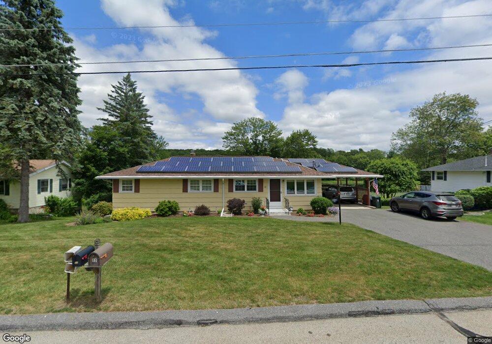
12 Shore Dr North Grafton, MA 01536
Estimated Value: $481,000 - $521,333
3
Beds
2
Baths
1,304
Sq Ft
$386/Sq Ft
Est. Value
About This Home
This home is located at 12 Shore Dr, North Grafton, MA 01536 and is currently estimated at $503,083, approximately $385 per square foot. 12 Shore Dr is a home located in Worcester County with nearby schools including Grafton High School, St Stephen Elementary School, and Al-Hamra Academy.
Ownership History
Date
Name
Owned For
Owner Type
Purchase Details
Closed on
Mar 23, 2015
Sold by
Prunier Janet M
Bought by
Prunier Homestead T and Prunier P
Current Estimated Value
Purchase Details
Closed on
Jun 20, 1991
Sold by
Fitzgerald Patrick H
Bought by
Prunier Janet M
Home Financials for this Owner
Home Financials are based on the most recent Mortgage that was taken out on this home.
Original Mortgage
$54,000
Interest Rate
9.37%
Mortgage Type
Purchase Money Mortgage
Create a Home Valuation Report for This Property
The Home Valuation Report is an in-depth analysis detailing your home's value as well as a comparison with similar homes in the area
Home Values in the Area
Average Home Value in this Area
Purchase History
| Date | Buyer | Sale Price | Title Company |
|---|---|---|---|
| Prunier Homestead T | -- | -- | |
| Prunier Homestead T | -- | -- | |
| Prunier Homestead T | -- | -- | |
| Prunier Janet M | $119,500 | -- | |
| Prunier Janet M | $119,500 | -- |
Source: Public Records
Mortgage History
| Date | Status | Borrower | Loan Amount |
|---|---|---|---|
| Previous Owner | Prunier Janet M | $51,000 | |
| Previous Owner | Prunier Janet M | $54,000 |
Source: Public Records
Tax History Compared to Growth
Tax History
| Year | Tax Paid | Tax Assessment Tax Assessment Total Assessment is a certain percentage of the fair market value that is determined by local assessors to be the total taxable value of land and additions on the property. | Land | Improvement |
|---|---|---|---|---|
| 2025 | $6,135 | $440,100 | $178,500 | $261,600 |
| 2024 | $5,996 | $419,000 | $170,000 | $249,000 |
| 2023 | $5,871 | $373,700 | $170,000 | $203,700 |
| 2022 | $5,655 | $335,000 | $146,000 | $189,000 |
| 2021 | $5,484 | $319,200 | $132,800 | $186,400 |
| 2020 | $5,267 | $319,200 | $132,800 | $186,400 |
| 2019 | $5,040 | $302,500 | $129,000 | $173,500 |
| 2018 | $4,537 | $273,500 | $128,200 | $145,300 |
| 2017 | $4,361 | $265,900 | $120,600 | $145,300 |
| 2016 | $4,022 | $240,100 | $96,900 | $143,200 |
| 2015 | $3,765 | $228,200 | $95,700 | $132,500 |
| 2014 | $3,562 | $233,400 | $113,100 | $120,300 |
Source: Public Records
Map
Nearby Homes
- 11 Hovey Pond Dr Unit 11
- 194 Worcester St
- 14 Northgate Ct Unit 14
- 4 Westboro Rd
- 17 Hingham Rd
- 30 Falmouth Dr
- 69 Cortland Grove Dr Unit 69
- 51 Cortland Grove Dr Unit 51
- 0 East St
- 44 Meadow Ln
- 4 Winslow Ln Unit 1410
- 1 Purinton St
- 39 Pointe Rok Dr Unit 39
- 76 Samuel Dr
- 21 Lordvale Blvd Unit 406
- 32 Clews St
- 95 Pineland Ave
- 5 Lincoln Ln Unit 5
- 46 John Dr Unit 46
- 28 Lincoln Ln