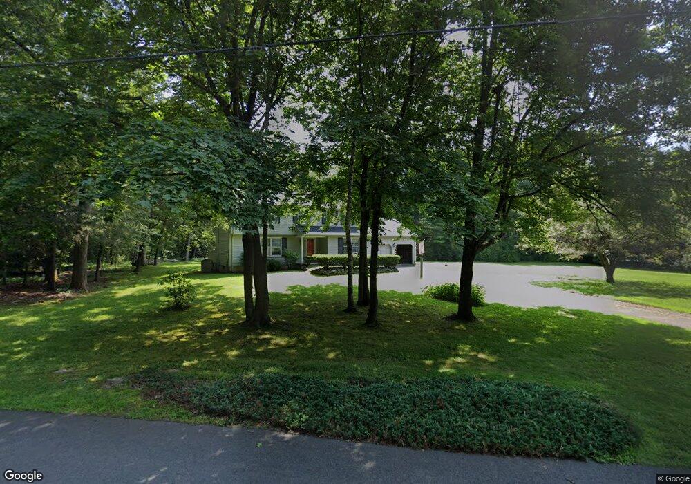
12 Surry Cir Simsbury, CT 06070
Estimated Value: $563,394 - $626,000
4
Beds
3
Baths
2,084
Sq Ft
$284/Sq Ft
Est. Value
About This Home
This home is located at 12 Surry Cir, Simsbury, CT 06070 and is currently estimated at $591,849, approximately $283 per square foot. 12 Surry Cir is a home located in Hartford County with nearby schools including Squadron Line School, Henry James Memorial School, and Simsbury High School.
Create a Home Valuation Report for This Property
The Home Valuation Report is an in-depth analysis detailing your home's value as well as a comparison with similar homes in the area
Home Values in the Area
Average Home Value in this Area
Tax History Compared to Growth
Tax History
| Year | Tax Paid | Tax Assessment Tax Assessment Total Assessment is a certain percentage of the fair market value that is determined by local assessors to be the total taxable value of land and additions on the property. | Land | Improvement |
|---|---|---|---|---|
| 2025 | $9,457 | $276,850 | $87,780 | $189,070 |
| 2024 | $9,222 | $276,850 | $87,780 | $189,070 |
| 2023 | $8,809 | $276,850 | $87,780 | $189,070 |
| 2022 | $8,006 | $207,260 | $87,800 | $119,460 |
| 2021 | $8,006 | $207,260 | $87,800 | $119,460 |
| 2020 | $7,687 | $207,260 | $87,800 | $119,460 |
| 2019 | $7,735 | $207,260 | $87,800 | $119,460 |
| 2018 | $7,791 | $207,260 | $87,800 | $119,460 |
| 2017 | $7,536 | $194,440 | $85,560 | $108,880 |
| 2016 | $7,218 | $194,440 | $85,560 | $108,880 |
| 2015 | $7,218 | $194,440 | $85,560 | $108,880 |
| 2014 | $7,014 | $188,850 | $85,550 | $103,300 |
Source: Public Records
Map
Nearby Homes
- 247 Old Farms Rd
- 324 Firetown Rd
- 9 Gretel Ln
- 2 North Dr
- 25 Barry Ln
- 26 Winterset Ln
- 4 Stonewall Dr
- 45 Hoskins Rd
- 7R Stonewall Dr
- 87 Cambridge Ct
- 5 Washington Dr
- 69 Cambridge Ct
- 14 Gordon St
- 14 Brettonwood Dr
- 40 Firetown Rd Unit 39
- 18 Meadowlark Rd
- 48 Library Ln Unit 48
- 19 Simsbury Landing
- 47 Salmon Brook St
- 1 West St Unit 206