120 Kimball St Littleton, NH 03561
Estimated Value: $208,000 - $480,000
4
Beds
2
Baths
1,943
Sq Ft
$191/Sq Ft
Est. Value
About This Home
This home is located at 120 Kimball St, Littleton, NH 03561 and is currently estimated at $370,241, approximately $190 per square foot. 120 Kimball St is a home located in Grafton County with nearby schools including Mildred C. Lakeway School, North Country Charter Academy (M), and North Country Charter Academy.
Ownership History
Date
Name
Owned For
Owner Type
Purchase Details
Closed on
Oct 26, 2015
Sold by
Peter Peter D and Peter Kimball R
Bought by
Nadeau Amy E and Turner Rooks T
Current Estimated Value
Home Financials for this Owner
Home Financials are based on the most recent Mortgage that was taken out on this home.
Original Mortgage
$162,000
Outstanding Balance
$127,895
Interest Rate
3.9%
Estimated Equity
$242,346
Purchase Details
Closed on
Apr 20, 2007
Sold by
James W Powers Inc
Bought by
Peter D Kimball T and Gail Kimball T
Home Financials for this Owner
Home Financials are based on the most recent Mortgage that was taken out on this home.
Original Mortgage
$80,000
Interest Rate
6.24%
Mortgage Type
Unknown
Create a Home Valuation Report for This Property
The Home Valuation Report is an in-depth analysis detailing your home's value as well as a comparison with similar homes in the area
Home Values in the Area
Average Home Value in this Area
Purchase History
| Date | Buyer | Sale Price | Title Company |
|---|---|---|---|
| Nadeau Amy E | $189,000 | -- | |
| Peter D Kimball T | $79,900 | -- |
Source: Public Records
Mortgage History
| Date | Status | Borrower | Loan Amount |
|---|---|---|---|
| Open | Peter D Kimball T | $162,000 | |
| Previous Owner | Peter D Kimball T | $80,000 | |
| Previous Owner | Peter D Kimball T | $80,000 |
Source: Public Records
Tax History Compared to Growth
Tax History
| Year | Tax Paid | Tax Assessment Tax Assessment Total Assessment is a certain percentage of the fair market value that is determined by local assessors to be the total taxable value of land and additions on the property. | Land | Improvement |
|---|---|---|---|---|
| 2024 | $5,063 | $203,000 | $31,900 | $171,100 |
| 2023 | $4,576 | $203,000 | $31,900 | $171,100 |
| 2022 | $4,681 | $203,000 | $31,900 | $171,100 |
| 2021 | $4,681 | $203,000 | $31,900 | $171,100 |
| 2020 | $4,395 | $203,000 | $31,900 | $171,100 |
| 2019 | $4,089 | $177,000 | $24,800 | $152,200 |
| 2018 | $4,493 | $194,500 | $24,800 | $169,700 |
| 2017 | $3,981 | $154,200 | $26,400 | $127,800 |
| 2016 | $3,995 | $154,200 | $26,400 | $127,800 |
| 2015 | $4,890 | $209,700 | $37,800 | $171,900 |
| 2014 | $4,655 | $209,700 | $37,800 | $171,900 |
| 2013 | $4,710 | $209,700 | $37,800 | $171,900 |
Source: Public Records
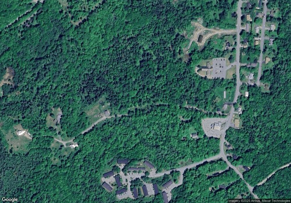
Map
Nearby Homes
- 92-29 Birchcroft Dr
- 165 Bethlehem Rd
- 251 Bethlehem Rd
- 36 MacIver Rd
- 134 Cottage St
- 34 Union St
- 33 Pleasant St
- 114 Highland Ave
- 194 Main St
- 180 Beacon St
- 166 Riverside Dr
- 93 Pleasant St
- 40 W Main St
- 60-70 Meadow St
- 191 Washington St
- 00 Guider Ln
- 11 Richmond St
- 80 Guider Ln
- 000 Dells Rd Unit 1
- 45 Point of View Dr
- 169 Kimball St
- 170 Kimball St
- 200 Kimball St
- 1 Kimball St
- 2 Kimball St
- 375 Mount Eustis Rd
- 578 Cottage St
- 642 Cottage St
- 483 Mount Eustis Rd
- 615 Cottage St
- 450 Cottage St
- 581 Cottage St
- 591 Cottage St
- 658 Cottage St
- 524 Cottage St
- 629 Cottage St
- 567 Cottage St
- 124 Morrison Hill Dr
- 645 Cottage St
- 92 Morrison Hill Dr