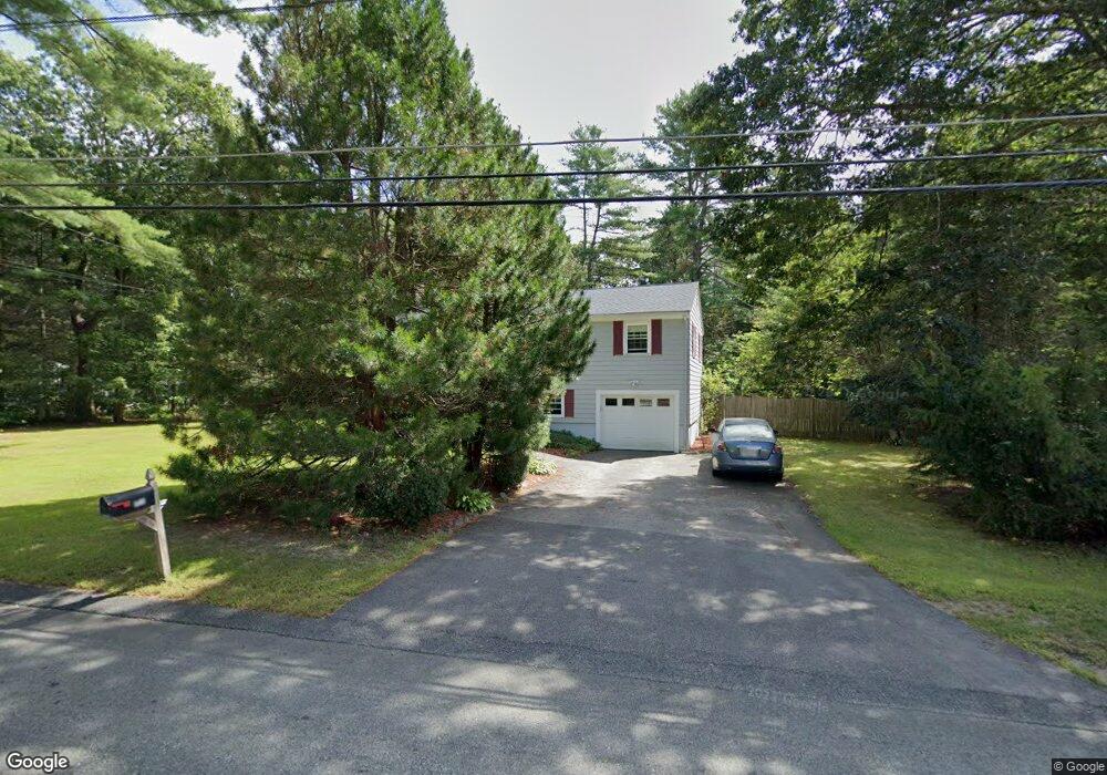
120 Otis St Mansfield, MA 02048
Estimated Value: $542,000 - $743,000
3
Beds
2
Baths
1,523
Sq Ft
$422/Sq Ft
Est. Value
About This Home
This home is located at 120 Otis St, Mansfield, MA 02048 and is currently estimated at $643,310, approximately $422 per square foot. 120 Otis St is a home located in Bristol County with nearby schools including Everett W. Robinson Elementary School, Jordan/Jackson Elementary School, and Harold L. Qualters Middle School.
Ownership History
Date
Name
Owned For
Owner Type
Purchase Details
Closed on
Apr 30, 1992
Sold by
Auciello Nicholas M and Auciello Thelma
Bought by
Arieta Richard D and Arieta Margaret
Current Estimated Value
Home Financials for this Owner
Home Financials are based on the most recent Mortgage that was taken out on this home.
Original Mortgage
$118,350
Interest Rate
8.96%
Mortgage Type
Purchase Money Mortgage
Purchase Details
Closed on
Mar 22, 1991
Sold by
Bellavance Catherine M
Bought by
Auciello Nicholas and Auciello Thelma
Create a Home Valuation Report for This Property
The Home Valuation Report is an in-depth analysis detailing your home's value as well as a comparison with similar homes in the area
Home Values in the Area
Average Home Value in this Area
Purchase History
| Date | Buyer | Sale Price | Title Company |
|---|---|---|---|
| Arieta Richard D | $131,500 | -- | |
| Auciello Nicholas | $125,000 | -- |
Source: Public Records
Mortgage History
| Date | Status | Borrower | Loan Amount |
|---|---|---|---|
| Open | Auciello Nicholas | $95,000 | |
| Closed | Auciello Nicholas | $141,000 | |
| Closed | Auciello Nicholas | $118,300 | |
| Closed | Auciello Nicholas | $118,350 |
Source: Public Records
Tax History Compared to Growth
Tax History
| Year | Tax Paid | Tax Assessment Tax Assessment Total Assessment is a certain percentage of the fair market value that is determined by local assessors to be the total taxable value of land and additions on the property. | Land | Improvement |
|---|---|---|---|---|
| 2025 | $6,897 | $523,700 | $229,300 | $294,400 |
| 2024 | $6,458 | $478,400 | $229,300 | $249,100 |
| 2023 | $6,290 | $446,400 | $229,300 | $217,100 |
| 2022 | $6,085 | $401,100 | $212,400 | $188,700 |
| 2021 | $0 | $369,800 | $185,700 | $184,100 |
| 2020 | $0 | $365,900 | $176,900 | $189,000 |
| 2019 | $0 | $336,500 | $147,500 | $189,000 |
| 2018 | $4,021 | $315,300 | $140,900 | $174,400 |
| 2017 | $4,724 | $314,500 | $136,900 | $177,600 |
| 2016 | $4,774 | $309,800 | $130,300 | $179,500 |
| 2015 | $4,410 | $284,500 | $130,300 | $154,200 |
Source: Public Records
Map
Nearby Homes
- 176 Elm St
- 2 Oak St Unit 2D
- 2 Oak St Unit 2A
- 2 Oak St Unit 2C
- 2 Oak St Unit 2B
- 150 Gilbert St
- 451R Gilbert St
- 37 Oakleaf Dr
- 4 Buckskin Dr
- 255 Mckeon Dr
- 14 Country Club Way
- 24 Maverick Dr
- 250 Mansfield Ave Unit 66
- 196 Donald Tennant Cir
- 15 Reservoir St Unit 44
- 231 Spring St
- 115 Westfield Dr
- 4 Village Way Unit F
- 11 Buckthorn Ln
- 157 Mansfield Ave Unit 14