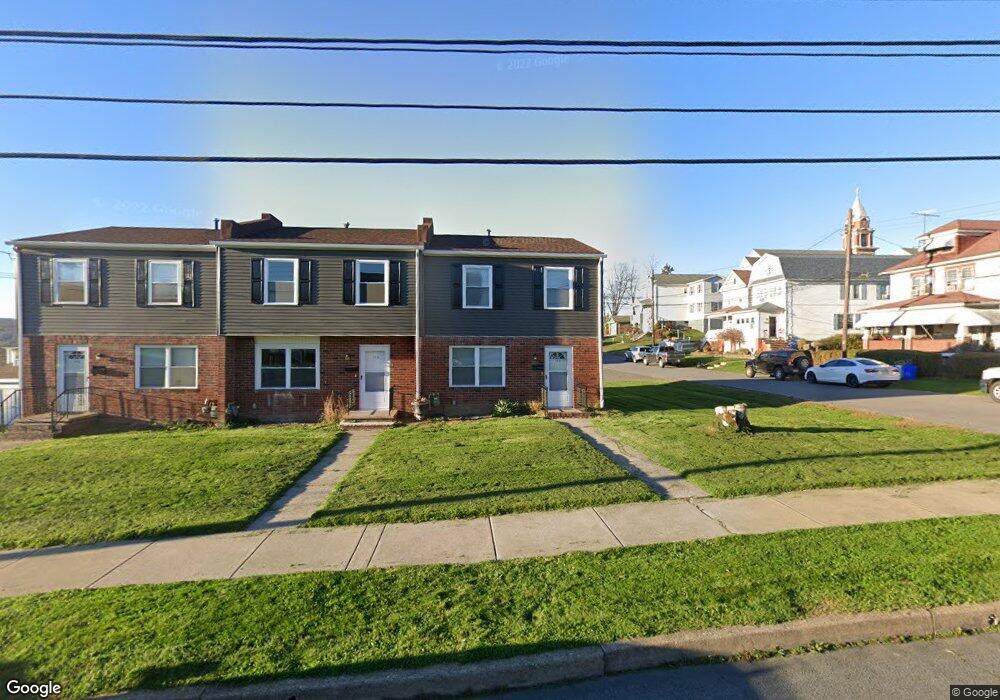
120 W South St Nanticoke, PA 18634
Estimated Value: $208,000 - $459,000
--
Bed
--
Bath
3,480
Sq Ft
$92/Sq Ft
Est. Value
About This Home
This home is located at 120 W South St, Nanticoke, PA 18634 and is currently estimated at $320,976, approximately $92 per square foot. 120 W South St is a home located in Luzerne County with nearby schools including Kennedy Early Childhood Center, Nanticoke Area Elementary Center Center, and Greater Nanticoke Area Senior High School.
Ownership History
Date
Name
Owned For
Owner Type
Purchase Details
Closed on
Sep 27, 2019
Sold by
Piper Edmund J and Piper Rose Marie
Bought by
Munson Jay H and Munson Debra
Current Estimated Value
Purchase Details
Closed on
Aug 19, 2014
Sold by
Balinski Maureen
Bought by
Piper Edmund J
Home Financials for this Owner
Home Financials are based on the most recent Mortgage that was taken out on this home.
Original Mortgage
$154,950
Interest Rate
4.12%
Mortgage Type
VA
Create a Home Valuation Report for This Property
The Home Valuation Report is an in-depth analysis detailing your home's value as well as a comparison with similar homes in the area
Home Values in the Area
Average Home Value in this Area
Purchase History
| Date | Buyer | Sale Price | Title Company |
|---|---|---|---|
| Munson Jay H | $157,500 | None Available | |
| Piper Edmund J | $150,000 | None Available |
Source: Public Records
Mortgage History
| Date | Status | Borrower | Loan Amount |
|---|---|---|---|
| Previous Owner | Piper Edmund J | $154,950 |
Source: Public Records
Tax History Compared to Growth
Tax History
| Year | Tax Paid | Tax Assessment Tax Assessment Total Assessment is a certain percentage of the fair market value that is determined by local assessors to be the total taxable value of land and additions on the property. | Land | Improvement |
|---|---|---|---|---|
| 2025 | $4,618 | $177,000 | $50,500 | $126,500 |
| 2024 | $4,618 | $177,000 | $50,500 | $126,500 |
| 2023 | $4,554 | $177,000 | $50,500 | $126,500 |
| 2022 | $4,344 | $177,000 | $50,500 | $126,500 |
| 2021 | $4,249 | $177,000 | $50,500 | $126,500 |
| 2020 | $4,249 | $177,000 | $50,500 | $126,500 |
| 2019 | $4,215 | $177,000 | $50,500 | $126,500 |
| 2018 | $4,142 | $177,000 | $50,500 | $126,500 |
| 2017 | $4,067 | $177,000 | $50,500 | $126,500 |
| 2016 | $1,961 | $177,000 | $50,500 | $126,500 |
| 2015 | -- | $177,000 | $50,500 | $126,500 |
| 2014 | -- | $177,000 | $50,500 | $126,500 |
Source: Public Records
Map
Nearby Homes
- 0 Enterprise St
- 65 W South St
- 131 W Union St
- 200 W Union St
- 246 E Washington St
- 162 W Green St
- 314 W Main St
- 257 E Ridge St
- 0 Middle Rd
- 317 E Green St
- 416 E Washington St
- 418 E Washington St
- 22 S Walnut St
- 20 Locust St
- 339 E Broad St
- 333 State St
- 138 Espy St
- 25 Cherry Dr
- 1116 Chestnut St
- 2B Railroad St
- 1108 New Grant St
- 1204 New Grant St
- 1106 New Grant St
- 112 W South St
- 1208 New Grant St
- 142 W South St Unit Half double
- 1115 New Grant St
- 1111 New Grant St
- 115 W Field St
- 117 W Field St
- 1111 Lincoln Ave
- 140 W South St
- 1214 New Grant St
- 1201 New Grant St
- 1109 New Grant St
- 123 W Field St
- 1203 Lincoln Ave
- 1205 Lincoln Ave
- 1205 New Grant St
- 1103 New Grant St