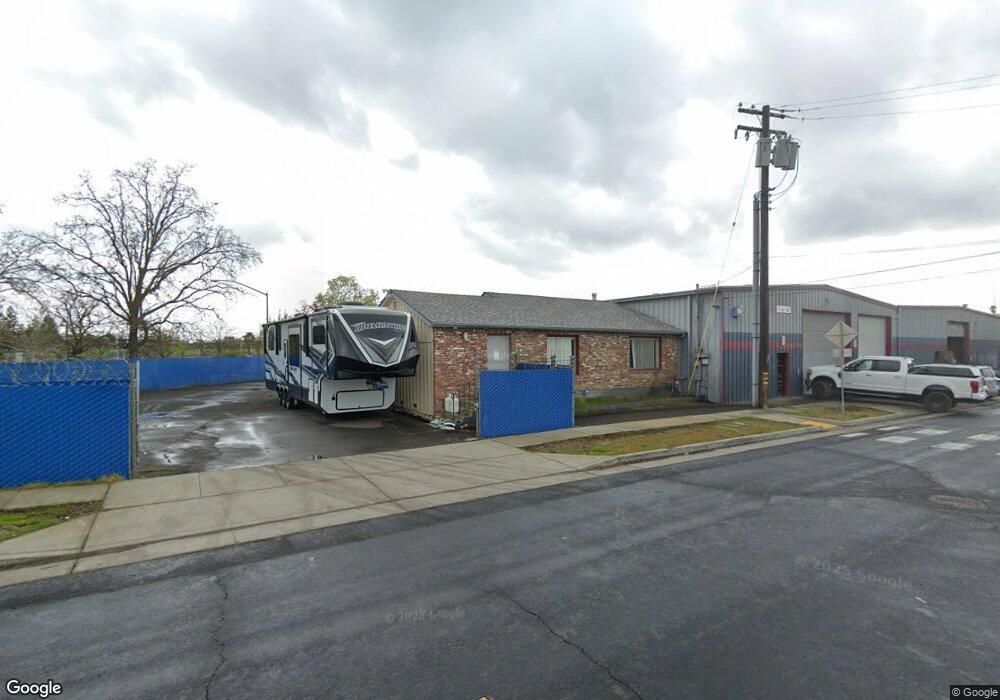
1200 Dixieanne Ave Sacramento, CA 95815
Old North Sacramento NeighborhoodEstimated Value: $1,353,706
--
Bed
--
Bath
--
Sq Ft
0.91
Acres
About This Home
This home is located at 1200 Dixieanne Ave, Sacramento, CA 95815 and is currently estimated at $1,353,706. 1200 Dixieanne Ave is a home located in Sacramento County with nearby schools including Northwood Elementary School, Martin Luther King Jr. Technology Academy, and Grant Union High School.
Ownership History
Date
Name
Owned For
Owner Type
Purchase Details
Closed on
Apr 28, 2021
Sold by
Robert A Walker Inc
Bought by
1050 El Camino Llc
Current Estimated Value
Home Financials for this Owner
Home Financials are based on the most recent Mortgage that was taken out on this home.
Original Mortgage
$819,000
Outstanding Balance
$741,058
Interest Rate
3%
Mortgage Type
Purchase Money Mortgage
Estimated Equity
$612,648
Create a Home Valuation Report for This Property
The Home Valuation Report is an in-depth analysis detailing your home's value as well as a comparison with similar homes in the area
Home Values in the Area
Average Home Value in this Area
Purchase History
| Date | Buyer | Sale Price | Title Company |
|---|---|---|---|
| 1050 El Camino Llc | $1,100,000 | Placer Title Company |
Source: Public Records
Mortgage History
| Date | Status | Borrower | Loan Amount |
|---|---|---|---|
| Open | 1050 El Camino Llc | $819,000 |
Source: Public Records
Tax History Compared to Growth
Tax History
| Year | Tax Paid | Tax Assessment Tax Assessment Total Assessment is a certain percentage of the fair market value that is determined by local assessors to be the total taxable value of land and additions on the property. | Land | Improvement |
|---|---|---|---|---|
| 2025 | $16,239 | $1,190,673 | $346,377 | $844,296 |
| 2024 | $16,239 | $1,167,328 | $339,586 | $827,742 |
| 2023 | $16,282 | $1,144,440 | $332,928 | $811,512 |
| 2022 | $15,432 | $1,122,000 | $326,400 | $795,600 |
| 2021 | $7,514 | $379,548 | $65,463 | $314,085 |
| 2020 | $7,417 | $375,657 | $64,792 | $310,865 |
| 2019 | $7,319 | $368,292 | $63,522 | $304,770 |
| 2018 | $6,900 | $361,072 | $62,277 | $298,795 |
| 2017 | $7,146 | $353,993 | $61,056 | $292,937 |
| 2016 | $6,696 | $347,053 | $59,859 | $287,194 |
| 2015 | $6,427 | $341,841 | $58,960 | $282,881 |
Source: Public Records
Map
Nearby Homes
- 2313 Selma St
- 2566 Evergreen St
- 1013 Frienza Ave
- 2328 Boxwood St
- 2569 Erickson St
- 2569 Erickson St
- 2609 Ensenada Way
- 2319 Empress St
- 2837 Del Paso Blvd
- 2781 Clay St
- 1528 Orlando Way
- 2546 Del Paso Blvd
- 2391 Beaumont St
- 2754 Del Paso Blvd
- 2844 Amaranth Alley
- 2653 Princeton St
- 810 Lampasas Ave
- 715 Dixieanne Ave
- 796 Lampasas Ave
- 742 Bowles St
- 2421 Clay St Unit 48
- 2421 Clay St Unit 36
- 2421 Clay St Unit 29
- 2421 Clay St Unit 48
- 2421 Clay St Unit 30
- 2421 Clay St Unit 31
- 2421 Clay St Unit 32
- 2421 Clay St Unit 45
- 2421 Clay St Unit 35
- 2421 Clay St Unit 43
- 2334 Lexington St
- 1324 Dixieanne Ave
- 1329 Dixieanne Ave
- 1332 Dixieanne Ave
- 1050 Dixieanne Ave
- 2336 Green St
- 2473 Lexington St
- 2332 Green St
- 2328 Green St
- 1333 Dixieanne Ave