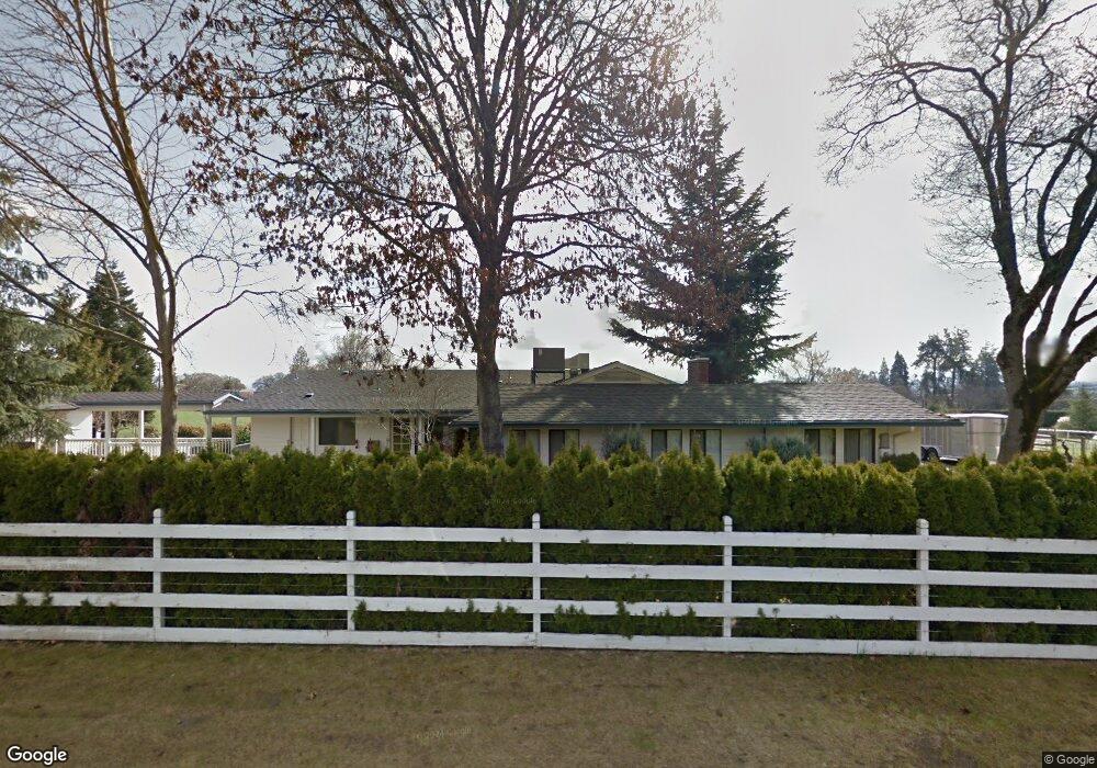
1200 Goldstone Dr Central Point, OR 97502
Estimated Value: $914,000 - $1,026,000
4
Beds
2
Baths
3,259
Sq Ft
$296/Sq Ft
Est. Value
About This Home
This home is located at 1200 Goldstone Dr, Central Point, OR 97502 and is currently estimated at $964,456, approximately $295 per square foot. 1200 Goldstone Dr is a home located in Jackson County with nearby schools including Jacksonville Elementary School, McLoughlin Middle School, and South Medford High School.
Ownership History
Date
Name
Owned For
Owner Type
Purchase Details
Closed on
Apr 6, 2009
Sold by
Pierce Raymond C
Bought by
Pierce Raymond C
Current Estimated Value
Home Financials for this Owner
Home Financials are based on the most recent Mortgage that was taken out on this home.
Original Mortgage
$290,500
Outstanding Balance
$184,823
Interest Rate
5.06%
Mortgage Type
New Conventional
Estimated Equity
$779,633
Purchase Details
Closed on
Aug 24, 2005
Sold by
Pierce Raymond C
Bought by
Pierce Raymond C and The Raymond C Pierce Living Trust
Purchase Details
Closed on
Aug 13, 2002
Sold by
Utesch Edgar W and Utesch Ingeborg O
Bought by
Pierce Raymond C
Home Financials for this Owner
Home Financials are based on the most recent Mortgage that was taken out on this home.
Original Mortgage
$138,000
Interest Rate
6.51%
Mortgage Type
Seller Take Back
Create a Home Valuation Report for This Property
The Home Valuation Report is an in-depth analysis detailing your home's value as well as a comparison with similar homes in the area
Home Values in the Area
Average Home Value in this Area
Purchase History
| Date | Buyer | Sale Price | Title Company |
|---|---|---|---|
| Pierce Raymond C | -- | Amerititle | |
| Pierce Raymond C | -- | Lawyers Title Insurance Corp | |
| Pierce Raymond C | $498,000 | Jackson County Title |
Source: Public Records
Mortgage History
| Date | Status | Borrower | Loan Amount |
|---|---|---|---|
| Open | Pierce Raymond C | $290,500 | |
| Closed | Pierce Raymond C | $138,000 |
Source: Public Records
Tax History Compared to Growth
Tax History
| Year | Tax Paid | Tax Assessment Tax Assessment Total Assessment is a certain percentage of the fair market value that is determined by local assessors to be the total taxable value of land and additions on the property. | Land | Improvement |
|---|---|---|---|---|
| 2025 | $6,984 | $558,350 | $153,710 | $404,640 |
| 2024 | $6,984 | $542,090 | $121,570 | $420,520 |
| 2023 | $6,770 | $526,310 | $118,020 | $408,290 |
| 2022 | $6,546 | $526,310 | $118,020 | $408,290 |
| 2021 | $6,036 | $483,370 | $114,580 | $368,790 |
| 2020 | $5,893 | $469,300 | $111,250 | $358,050 |
| 2019 | $5,757 | $442,370 | $104,860 | $337,510 |
| 2018 | $5,612 | $429,490 | $101,810 | $327,680 |
| 2017 | $5,520 | $429,490 | $101,810 | $327,680 |
| 2016 | $5,415 | $404,850 | $95,980 | $308,870 |
| 2015 | $5,187 | $404,850 | $95,980 | $308,870 |
| 2014 | $5,111 | $381,620 | $90,470 | $291,150 |
Source: Public Records
Map
Nearby Homes
- 1916 Old Military Rd
- 2555 Old Military Rd
- 2805 Old Military Rd
- 3220 Freeland Rd
- 3506 New Ray Rd
- 4425 W Main St Unit 23
- 4425 W Main St Unit 31
- 4075 Livingston Rd
- 187 Vashti Way
- 1055 N 5th St Unit 79
- 1055 N 5th St Unit 15
- 0 Main St W Unit 220209697
- 495 Shafer Ln
- 3642 Oak Pine Way
- 61 Vashti Way
- 570 Bachand Cir
- 3842 W Main St
- 300 Shafer Ln Unit B4
- 429 Mayberry Ln
- 465 Creekside Cir
- 1236 Goldstone Dr
- 1158 Goldstone Dr
- 3390 Ross Ln
- 1315 Goldstone Dr
- 3502 Ross Ln
- 2271 W Hillside Dr
- 3443 Ross Ln
- 2175 W Hillside Dr
- 3562 Ross Ln
- 3650 Ross Ln
- 1975 Old Stage Rd
- 2309 W Hillside Dr
- 3626 Ross Ln
- 3614 Ross Ln
- 3531 Ross Ln
- 3555 Ross Ln
- 1953 Old Stage Rd
- 3602 Ross Ln
- 2156 W Hillside Dr
- 3455 Ross Ln