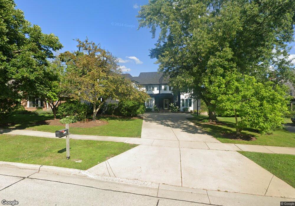
1200 Saint William Dr Libertyville, IL 60048
Interlaken NeighborhoodEstimated Value: $948,000 - $1,072,000
4
Beds
4
Baths
4,023
Sq Ft
$245/Sq Ft
Est. Value
About This Home
This home is located at 1200 Saint William Dr, Libertyville, IL 60048 and is currently estimated at $984,284, approximately $244 per square foot. 1200 Saint William Dr is a home located in Lake County with nearby schools including Butterfield School, Highland Middle School, and Libertyville High School.
Ownership History
Date
Name
Owned For
Owner Type
Purchase Details
Closed on
Jul 18, 2013
Sold by
Verbeten David A and Verbeten Becky L
Bought by
Giannakakis Pete and Khayat Leanne
Current Estimated Value
Home Financials for this Owner
Home Financials are based on the most recent Mortgage that was taken out on this home.
Original Mortgage
$405,000
Outstanding Balance
$303,017
Interest Rate
4.62%
Mortgage Type
New Conventional
Estimated Equity
$681,267
Purchase Details
Closed on
May 22, 1998
Sold by
The Northern Turst Company
Bought by
Verbeten David A and Verbeten Becky L
Home Financials for this Owner
Home Financials are based on the most recent Mortgage that was taken out on this home.
Original Mortgage
$380,000
Interest Rate
7.25%
Create a Home Valuation Report for This Property
The Home Valuation Report is an in-depth analysis detailing your home's value as well as a comparison with similar homes in the area
Home Values in the Area
Average Home Value in this Area
Purchase History
| Date | Buyer | Sale Price | Title Company |
|---|---|---|---|
| Giannakakis Pete | $549,000 | Chicago Title Insurance Comp | |
| Verbeten David A | $475,000 | -- |
Source: Public Records
Mortgage History
| Date | Status | Borrower | Loan Amount |
|---|---|---|---|
| Open | Giannakakis Pete | $405,000 | |
| Previous Owner | Verbeten David A | $380,000 |
Source: Public Records
Tax History Compared to Growth
Tax History
| Year | Tax Paid | Tax Assessment Tax Assessment Total Assessment is a certain percentage of the fair market value that is determined by local assessors to be the total taxable value of land and additions on the property. | Land | Improvement |
|---|---|---|---|---|
| 2024 | $17,070 | $238,475 | $58,099 | $180,376 |
| 2023 | $16,539 | $219,955 | $53,587 | $166,368 |
| 2022 | $16,539 | $212,792 | $51,506 | $161,286 |
| 2021 | $15,926 | $208,211 | $50,397 | $157,814 |
| 2020 | $16,517 | $220,120 | $53,280 | $166,840 |
| 2019 | $16,106 | $218,027 | $52,773 | $165,254 |
| 2018 | $8,817 | $226,836 | $46,326 | $180,510 |
| 2017 | $16,001 | $219,674 | $44,863 | $174,811 |
| 2016 | $15,480 | $208,281 | $42,536 | $165,745 |
| 2015 | $15,353 | $194,673 | $39,757 | $154,916 |
| 2014 | $14,991 | $186,468 | $38,082 | $148,386 |
| 2012 | $14,051 | $188,085 | $38,412 | $149,673 |
Source: Public Records
Map
Nearby Homes
- 1338 Trinity Place
- 832 Interlaken Ln
- 1512 Sunnyview Rd
- 1708 Park Crest Ct
- 1801 Torrey Pkwy
- 1834 Torrey Pkwy Unit 103
- 1917 Halifax St
- 694 Parkside Ct
- 662 Parkside Ct
- 616 Parkside Ct
- 619 Parkside Ct
- 223 Kenloch Ave
- 1935 Lynn Cir
- 212 W Ellis Ave
- 208 W Ellis Ave
- 178 Brookhill Rd
- 1330 W Park Ave
- 204 W Ellis Ave
- 420 W Cook Ave
- 505 Lange Ct
- 1204 Saint William Dr
- 1140 Saint William Dr
- 1138 Saint William Dr
- 1138 St William Dr
- 1208 Saint William Dr
- 1201 Saint William Dr
- 1205 Saint William Dr
- 1135 Saint William Dr
- 1212 Saint William Dr
- 1136 Saint William Dr
- 1133 Saint William Dr
- 1209 Saint William Dr
- 1134 Saint William Dr
- 1132 Saint William Dr
- 1216 Saint William Dr
- 1215 Claridge Dr
- 1131 Saint William Dr
- 1204 Kristin Dr
- 1209 Claridge Dr
- 1213 Saint William Dr