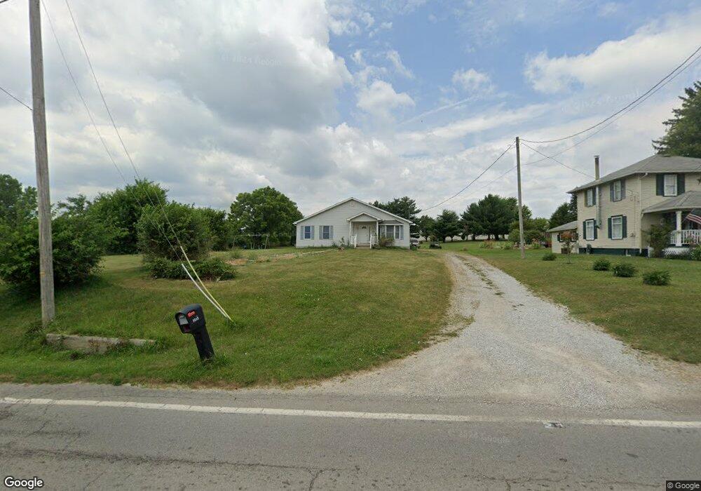
1202 State Route 511 Ashland, OH 44805
Estimated Value: $265,000 - $294,620
3
Beds
2
Baths
1,767
Sq Ft
$159/Sq Ft
Est. Value
About This Home
This home is located at 1202 State Route 511, Ashland, OH 44805 and is currently estimated at $281,655, approximately $159 per square foot. 1202 State Route 511 is a home located in Ashland County with nearby schools including Ashland High School, Ashland County Community Academy, and St. Edward Elementary School.
Ownership History
Date
Name
Owned For
Owner Type
Purchase Details
Closed on
Jan 13, 2025
Sold by
Pettit Linda K and Pettit Robert J
Bought by
Kopp Charles and Kopp Monica
Current Estimated Value
Home Financials for this Owner
Home Financials are based on the most recent Mortgage that was taken out on this home.
Original Mortgage
$232,875
Outstanding Balance
$231,220
Interest Rate
6.69%
Mortgage Type
VA
Estimated Equity
$50,435
Purchase Details
Closed on
Jan 1, 1990
Bought by
Pettit Robert J
Create a Home Valuation Report for This Property
The Home Valuation Report is an in-depth analysis detailing your home's value as well as a comparison with similar homes in the area
Home Values in the Area
Average Home Value in this Area
Purchase History
| Date | Buyer | Sale Price | Title Company |
|---|---|---|---|
| Kopp Charles | $260,000 | Castle Real Estate Title | |
| Kopp Charles | $260,000 | Castle Real Estate Title | |
| Pettit Robert J | -- | -- |
Source: Public Records
Mortgage History
| Date | Status | Borrower | Loan Amount |
|---|---|---|---|
| Open | Kopp Charles | $232,875 | |
| Closed | Kopp Charles | $232,875 |
Source: Public Records
Tax History Compared to Growth
Tax History
| Year | Tax Paid | Tax Assessment Tax Assessment Total Assessment is a certain percentage of the fair market value that is determined by local assessors to be the total taxable value of land and additions on the property. | Land | Improvement |
|---|---|---|---|---|
| 2024 | $2,498 | $79,510 | $7,610 | $71,900 |
| 2023 | $2,180 | $79,510 | $7,610 | $71,900 |
| 2022 | $2,180 | $56,800 | $5,440 | $51,360 |
| 2021 | $2,195 | $56,800 | $5,440 | $51,360 |
| 2020 | $2,082 | $56,800 | $5,440 | $51,360 |
| 2019 | $1,936 | $50,040 | $5,650 | $44,390 |
| 2018 | $1,943 | $50,040 | $5,650 | $44,390 |
| 2017 | $1,699 | $50,040 | $5,650 | $44,390 |
| 2016 | $1,699 | $44,270 | $4,990 | $39,280 |
| 2015 | $1,683 | $44,320 | $5,040 | $39,280 |
| 2013 | $1,948 | $49,210 | $5,040 | $44,170 |
Source: Public Records
Map
Nearby Homes
- 1200 State Route 511
- 0 U S 250 Unit 50363
- 0 U S 250 Unit 51093
- 0 U S 250 Unit 219490
- 0 U S 250 Unit 205815
- 0 U S 250 Unit 217360
- 0 U S 250 Unit 211808
- 0 U S 250 Unit 209081
- 0 U S 250 Unit 200646
- 0 U S 250 Unit 206560
- 0 U S 250 Unit 98535
- 0 U S 250 Unit 98572
- 0 U S 250 Unit 98571
- 0 U S 250 Unit 99804
- 0 U S 250 Unit 52732
- 0 U S 250 Unit 52731
- 0 U S 250 Unit 50662
- 0 U S 250 Unit 50661
- 0 U S 250 Unit 50041
- 0 U S 250 Unit 50040