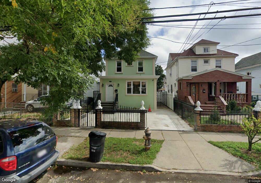
12043 132nd St South Ozone Park, NY 11420
South Ozone Park NeighborhoodEstimated Value: $687,123 - $767,000
3
Beds
1
Bath
1,320
Sq Ft
$552/Sq Ft
Est. Value
About This Home
This home is located at 12043 132nd St, South Ozone Park, NY 11420 and is currently estimated at $728,781, approximately $552 per square foot. 12043 132nd St is a home located in Queens County with nearby schools including P.S. 96, J.H.S. 226 Virgil I. Grisson, and John Adams High School.
Ownership History
Date
Name
Owned For
Owner Type
Purchase Details
Closed on
Dec 23, 2014
Sold by
Lrm Development Inc
Bought by
Estevez Belkis and Santos Benito
Current Estimated Value
Home Financials for this Owner
Home Financials are based on the most recent Mortgage that was taken out on this home.
Original Mortgage
$414,000
Outstanding Balance
$317,938
Interest Rate
3.99%
Mortgage Type
New Conventional
Estimated Equity
$410,843
Purchase Details
Closed on
Dec 27, 2004
Sold by
Bekaroo Kawal and Hosein Rachel
Bought by
Bekaroo Sham J and Hosein Rachael K
Create a Home Valuation Report for This Property
The Home Valuation Report is an in-depth analysis detailing your home's value as well as a comparison with similar homes in the area
Home Values in the Area
Average Home Value in this Area
Purchase History
| Date | Buyer | Sale Price | Title Company |
|---|---|---|---|
| Estevez Belkis | $460,000 | -- | |
| Estevez Belkis | $460,000 | -- | |
| Bekaroo Sham J | -- | -- | |
| Bekaroo Sham J | -- | -- |
Source: Public Records
Mortgage History
| Date | Status | Borrower | Loan Amount |
|---|---|---|---|
| Open | Estevez Belkis | $414,000 | |
| Closed | Estevez Belkis | $414,000 |
Source: Public Records
Tax History Compared to Growth
Tax History
| Year | Tax Paid | Tax Assessment Tax Assessment Total Assessment is a certain percentage of the fair market value that is determined by local assessors to be the total taxable value of land and additions on the property. | Land | Improvement |
|---|---|---|---|---|
| 2025 | $5,354 | $28,232 | $5,282 | $22,950 |
| 2024 | $5,354 | $26,656 | $5,309 | $21,347 |
| 2023 | $5,095 | $25,367 | $4,861 | $20,506 |
| 2022 | $3,827 | $41,220 | $8,520 | $32,700 |
| 2021 | $3,975 | $37,080 | $8,520 | $28,560 |
| 2020 | $4,001 | $35,880 | $8,520 | $27,360 |
| 2019 | $4,647 | $32,940 | $8,520 | $24,420 |
| 2018 | $4,422 | $21,139 | $6,015 | $15,124 |
| 2017 | $4,090 | $20,062 | $5,755 | $14,307 |
| 2016 | $3,921 | $20,062 | $5,755 | $14,307 |
| 2015 | -- | $19,606 | $8,261 | $11,345 |
Source: Public Records
Map
Nearby Homes
- 120-36 132nd St
- 120-56 132nd St
- 13013 Sutter Ave
- 13305 120th Ave
- 13410 Sutter Ave
- 123-45 135th St
- 12321 135th St
- 12826 Gotham Rd
- 132-01 131st Ave
- 130-16 130th St
- 12940 135th St
- 13015 129th St
- 135-40 Alwick Rd
- 129-28 135th Place
- 129-55 134th St
- 129-13 135th Place
- 12808 Sutter Ave
- 131-10 134th St
- 131-15 130th St
- 13121 133rd St
- 12043 132nd St
- 120-41 132nd St
- 12041 132nd St
- 12047-1204 132nd St
- 12041 132nd St
- 12047 132nd St
- 12037 132nd St
- 12051 132nd St
- 12033 132nd St
- 12053 132nd St
- 12055 132nd St
- 12140 133rd St
- 12142 133rd St
- 12029 132nd St
- 12136 133rd St
- 12146 133rd St
- 12134 133rd St
- 121-42 133rd St
- 12057 132nd St
- 12048 132nd St Unit 1