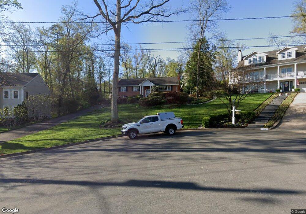
1209 Huntly Place Alexandria, VA 22307
Fort Hunt NeighborhoodEstimated Value: $1,189,932 - $1,259,000
4
Beds
3
Baths
1,711
Sq Ft
$716/Sq Ft
Est. Value
About This Home
This home is located at 1209 Huntly Place, Alexandria, VA 22307 and is currently estimated at $1,224,466, approximately $715 per square foot. 1209 Huntly Place is a home located in Fairfax County with nearby schools including Belle View Elementary School, Sandburg Middle, and West Potomac High School.
Ownership History
Date
Name
Owned For
Owner Type
Purchase Details
Closed on
Nov 15, 2002
Sold by
Black William
Bought by
Harrell Michael
Current Estimated Value
Home Financials for this Owner
Home Financials are based on the most recent Mortgage that was taken out on this home.
Original Mortgage
$528,000
Interest Rate
6.17%
Mortgage Type
New Conventional
Create a Home Valuation Report for This Property
The Home Valuation Report is an in-depth analysis detailing your home's value as well as a comparison with similar homes in the area
Home Values in the Area
Average Home Value in this Area
Purchase History
| Date | Buyer | Sale Price | Title Company |
|---|---|---|---|
| Harrell Michael | $660,000 | -- |
Source: Public Records
Mortgage History
| Date | Status | Borrower | Loan Amount |
|---|---|---|---|
| Previous Owner | Harrell Michael | $528,000 |
Source: Public Records
Tax History Compared to Growth
Tax History
| Year | Tax Paid | Tax Assessment Tax Assessment Total Assessment is a certain percentage of the fair market value that is determined by local assessors to be the total taxable value of land and additions on the property. | Land | Improvement |
|---|---|---|---|---|
| 2025 | $11,774 | $1,054,410 | $474,000 | $580,410 |
| 2024 | $11,774 | $968,420 | $431,000 | $537,420 |
| 2023 | $11,419 | $968,420 | $431,000 | $537,420 |
| 2022 | $10,575 | $883,260 | $381,000 | $502,260 |
| 2021 | $9,706 | $792,990 | $340,000 | $452,990 |
| 2020 | $9,196 | $745,720 | $327,000 | $418,720 |
| 2019 | $8,467 | $682,920 | $300,000 | $382,920 |
| 2018 | $8,164 | $660,260 | $283,000 | $377,260 |
| 2017 | $7,883 | $649,260 | $272,000 | $377,260 |
| 2016 | $7,957 | $657,030 | $272,000 | $385,030 |
| 2015 | $8,182 | $702,240 | $272,000 | $430,240 |
| 2014 | $8,770 | $756,580 | $280,000 | $476,580 |
Source: Public Records
Map
Nearby Homes
- 7105 Fort Hunt Rd
- 1211 Wake Forest Dr
- 1502 Middlebury Dr
- 7404 Rippon Rd
- 1911 Marthas Rd
- 6631 Wakefield Dr Unit 819
- 6631 Wakefield Dr Unit 106
- 7533 Hollindale Ct
- 6621 Wakefield Dr Unit 418
- 6621 Wakefield Dr Unit 910
- 1804 Mason Hill Dr
- 2111 Rollins Dr
- 6641 Wakefield Dr Unit 616
- 6641 Wakefield Dr Unit 801
- 6641 Wakefield Dr Unit 317
- 6641 Wakefield Dr Unit 918
- 6641 Wakefield Dr Unit 506
- 6641 Wakefield Dr Unit 405
- 6641 Wakefield Dr Unit 219
- 6625 10th St Unit C2
- 1207 Huntly Place
- 1211 Huntly Place
- 1210 Tatum Dr
- 1205 Huntly Place
- 1212 Huntly Place
- 7121 Burtonwood Dr
- 7119 Burtonwood Dr
- 1210 Huntly Place
- 7123 Burtonwood Dr
- 7117 Burtonwood Dr
- 1203 Huntly Place
- 1204 Huntly Place
- 7115 Burtonwood Dr
- 7201 Burtonwood Dr
- 1217 Warrington Place
- 1215 Warrington Place
- 1211 Tatum Dr
- 1201 Huntly Place
- 7113 Burtonwood Dr
- 1219 Warrington Place