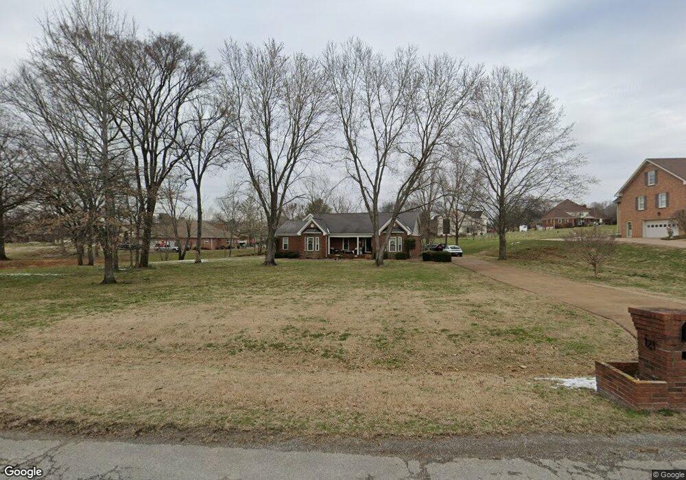
121 Buchanan Cir Hendersonville, TN 37075
Estimated Value: $627,486 - $758,000
--
Bed
3
Baths
2,560
Sq Ft
$277/Sq Ft
Est. Value
About This Home
This home is located at 121 Buchanan Cir, Hendersonville, TN 37075 and is currently estimated at $708,872, approximately $276 per square foot. 121 Buchanan Cir is a home located in Sumner County with nearby schools including Beech Elementary School, T.W. Hunter Middle School, and Beech High School.
Ownership History
Date
Name
Owned For
Owner Type
Purchase Details
Closed on
Apr 15, 1997
Sold by
Corlew Construction Inc
Bought by
Melang Erik S and Melang Pamela J
Current Estimated Value
Home Financials for this Owner
Home Financials are based on the most recent Mortgage that was taken out on this home.
Original Mortgage
$171,000
Outstanding Balance
$20,405
Interest Rate
7%
Estimated Equity
$688,467
Purchase Details
Closed on
Apr 16, 1996
Sold by
Tks/Corson Joint Venture
Bought by
Corlew Construction
Create a Home Valuation Report for This Property
The Home Valuation Report is an in-depth analysis detailing your home's value as well as a comparison with similar homes in the area
Home Values in the Area
Average Home Value in this Area
Purchase History
| Date | Buyer | Sale Price | Title Company |
|---|---|---|---|
| Melang Erik S | $180,000 | -- | |
| Corlew Construction | -- | -- |
Source: Public Records
Mortgage History
| Date | Status | Borrower | Loan Amount |
|---|---|---|---|
| Open | Melang Erik S | $171,000 |
Source: Public Records
Tax History Compared to Growth
Tax History
| Year | Tax Paid | Tax Assessment Tax Assessment Total Assessment is a certain percentage of the fair market value that is determined by local assessors to be the total taxable value of land and additions on the property. | Land | Improvement |
|---|---|---|---|---|
| 2024 | $1,919 | $135,025 | $31,250 | $103,775 |
| 2023 | $2,237 | $99,350 | $23,750 | $75,600 |
| 2022 | $2,247 | $99,350 | $23,750 | $75,600 |
| 2021 | $2,247 | $99,350 | $23,750 | $75,600 |
| 2020 | $2,247 | $99,350 | $23,750 | $75,600 |
| 2019 | $2,247 | $0 | $0 | $0 |
| 2018 | $1,841 | $0 | $0 | $0 |
| 2017 | $1,841 | $0 | $0 | $0 |
| 2016 | $1,841 | $0 | $0 | $0 |
| 2015 | -- | $0 | $0 | $0 |
| 2014 | -- | $0 | $0 | $0 |
Source: Public Records
Map
Nearby Homes
- 1063 Gadwall Cir
- 1002 W Stirling Ct
- 1111 Stirlingshire Dr
- 1039 Parsons Way
- 106B Timber Hills Rd
- 1003 Thistle Ct
- 1022 Tower Hill Ln
- 420 Gingerwood Ln
- 967 Luxborough Dr
- 0 New Hope Rd Unit RTC3000799
- 0 New Hope Rd Unit RTC2582441
- 588 Gingerwood Ln
- 1733 Old Drakes Creek Rd
- 133 Saddle Wood Ln
- 250 Tanglewood Ln
- 1016 Luxborough Dr
- 210 the Hollows Ct
- Waterford Plan at Oak Creek Estates
- Jameson Plan at Oak Creek Estates
- Bridgeport Plan at Oak Creek Estates
- 123 Buchanan Cir
- 119 Buchanan Cir
- 117 Buchanan Cir
- 120 Buchanan Cir
- 125 Buchanan Cir
- 122 Buchanan Cir
- 124 Buchanan Cir
- 126 Buchanan Cir
- 1028 Stirlingshire Dr
- 118 Buchanan Cir
- 128 Buchanan Cir
- 116 Buchanan Cir
- 115 Buchanan Cir
- 127 Buchanan Cir
- 1026 Stirlingshire Dr
- 114 Buchanan Cir
- 130 Buchanan Cir
- 1030 Stirlingshire Dr
- 113 Buchanan Cir
- 129 Buchanan Cir