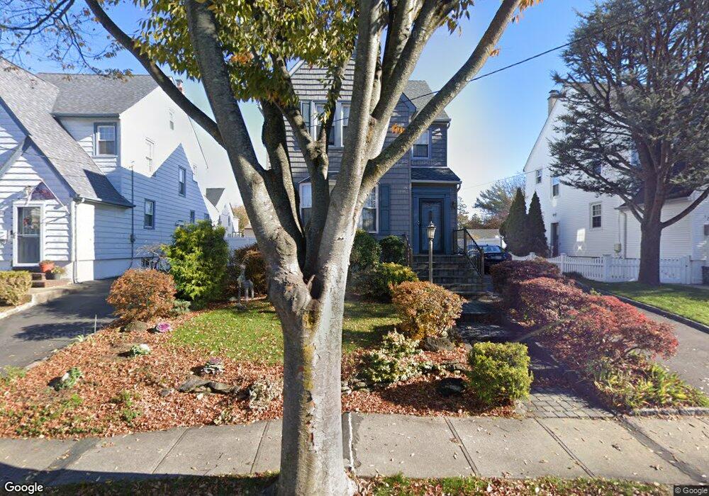
121 Carstairs Rd Valley Stream, NY 11581
Estimated Value: $656,201 - $712,000
--
Bed
2
Baths
1,815
Sq Ft
$377/Sq Ft
Est. Value
About This Home
This home is located at 121 Carstairs Rd, Valley Stream, NY 11581 and is currently estimated at $684,101, approximately $376 per square foot. 121 Carstairs Rd is a home located in Nassau County with nearby schools including George W Hewlett High School, Yeshiva of South Shore, and Reenas Bais Yaakov.
Ownership History
Date
Name
Owned For
Owner Type
Purchase Details
Closed on
Mar 9, 2016
Sold by
Harber Ellen M
Bought by
Bonfanti Family 2016 Irrevocable Trust
Current Estimated Value
Purchase Details
Closed on
Aug 15, 1995
Sold by
Haber Ellen
Bought by
Haber Ellen
Home Financials for this Owner
Home Financials are based on the most recent Mortgage that was taken out on this home.
Original Mortgage
$25,000
Interest Rate
7.61%
Create a Home Valuation Report for This Property
The Home Valuation Report is an in-depth analysis detailing your home's value as well as a comparison with similar homes in the area
Home Values in the Area
Average Home Value in this Area
Purchase History
| Date | Buyer | Sale Price | Title Company |
|---|---|---|---|
| Bonfanti Family 2016 Irrevocable Trust | -- | None Available | |
| Haber Ellen | -- | -- |
Source: Public Records
Mortgage History
| Date | Status | Borrower | Loan Amount |
|---|---|---|---|
| Previous Owner | Haber Ellen | $25,000 |
Source: Public Records
Tax History Compared to Growth
Tax History
| Year | Tax Paid | Tax Assessment Tax Assessment Total Assessment is a certain percentage of the fair market value that is determined by local assessors to be the total taxable value of land and additions on the property. | Land | Improvement |
|---|---|---|---|---|
| 2025 | $12,786 | $458 | $166 | $292 |
| 2024 | $1,813 | $469 | $170 | $299 |
| 2023 | $12,747 | $477 | $173 | $304 |
| 2022 | $12,747 | $477 | $173 | $304 |
| 2021 | $18,214 | $468 | $170 | $298 |
| 2020 | $12,172 | $568 | $408 | $160 |
| 2019 | $9,478 | $609 | $410 | $199 |
| 2018 | $9,489 | $649 | $0 | $0 |
| 2017 | $8,311 | $690 | $413 | $277 |
| 2016 | $9,887 | $730 | $390 | $340 |
| 2015 | $1,727 | $771 | $412 | $359 |
| 2014 | $1,727 | $771 | $412 | $359 |
| 2013 | $1,705 | $818 | $437 | $381 |
Source: Public Records
Map
Nearby Homes
- 80 Munro Blvd
- 29 Orleans Rd
- 88 Marlboro Rd
- 165 Page Rd
- 75 Peninsula Blvd
- 127 Gordon Rd
- 21 Fremont Rd
- 343 Cochran Place
- 375 Cochran Place
- 1584 Kew Ave
- 51 Stevenson Rd
- 33 Dartmouth St
- 80 Gibson Blvd Unit 1c
- 510 Dubois Ave Unit 11B
- 530 Dubois Ave Unit 2C
- 530 Dubois Ave Unit 1B
- 530 Dubois Ave Unit B3
- 31 Drew St
- 66 Kenmore Rd
- 90 Jackson Rd