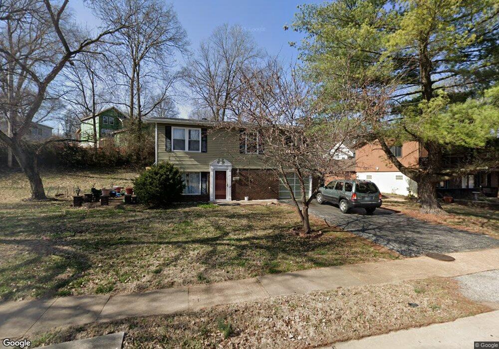
121 E Thornton Ave Saint Louis, MO 63119
Estimated Value: $222,000 - $294,000
3
Beds
2
Baths
864
Sq Ft
$304/Sq Ft
Est. Value
About This Home
This home is located at 121 E Thornton Ave, Saint Louis, MO 63119 and is currently estimated at $262,905, approximately $304 per square foot. 121 E Thornton Ave is a home located in St. Louis County with nearby schools including Avery Elementary School, Hixson Middle School, and Webster Groves High School.
Ownership History
Date
Name
Owned For
Owner Type
Purchase Details
Closed on
Sep 18, 1998
Sold by
Hud
Bought by
Givens Diane
Current Estimated Value
Home Financials for this Owner
Home Financials are based on the most recent Mortgage that was taken out on this home.
Original Mortgage
$80,750
Interest Rate
6.85%
Mortgage Type
FHA
Purchase Details
Closed on
May 29, 1998
Sold by
Delmar Financial Company
Bought by
Hud
Purchase Details
Closed on
Aug 5, 1997
Sold by
Wright David E and Wright Lorraine
Bought by
Little Howard and Thomas Renee
Home Financials for this Owner
Home Financials are based on the most recent Mortgage that was taken out on this home.
Original Mortgage
$83,400
Interest Rate
7.6%
Mortgage Type
FHA
Create a Home Valuation Report for This Property
The Home Valuation Report is an in-depth analysis detailing your home's value as well as a comparison with similar homes in the area
Home Values in the Area
Average Home Value in this Area
Purchase History
| Date | Buyer | Sale Price | Title Company |
|---|---|---|---|
| Givens Diane | -- | -- | |
| Hud | -- | -- | |
| Delmar Financial Company | $88,181 | -- | |
| Little Howard | -- | -- |
Source: Public Records
Mortgage History
| Date | Status | Borrower | Loan Amount |
|---|---|---|---|
| Previous Owner | Givens Diane | $80,750 | |
| Previous Owner | Little Howard | $83,400 |
Source: Public Records
Tax History Compared to Growth
Tax History
| Year | Tax Paid | Tax Assessment Tax Assessment Total Assessment is a certain percentage of the fair market value that is determined by local assessors to be the total taxable value of land and additions on the property. | Land | Improvement |
|---|---|---|---|---|
| 2025 | $2,698 | $45,310 | $23,500 | $21,810 |
| 2024 | $2,698 | $38,420 | $17,630 | $20,790 |
| 2023 | $2,685 | $38,420 | $17,630 | $20,790 |
| 2022 | $2,337 | $30,970 | $14,690 | $16,280 |
| 2021 | $2,329 | $30,970 | $14,690 | $16,280 |
| 2020 | $2,290 | $28,350 | $11,420 | $16,930 |
| 2019 | $2,273 | $28,350 | $11,420 | $16,930 |
| 2018 | $2,355 | $26,100 | $7,140 | $18,960 |
| 2017 | $2,339 | $26,100 | $7,140 | $18,960 |
| 2016 | $1,954 | $20,840 | $6,230 | $14,610 |
| 2015 | $1,955 | $20,840 | $6,230 | $14,610 |
| 2014 | $2,295 | $23,860 | $10,600 | $13,260 |
Source: Public Records
Map
Nearby Homes
- 814 Holland Ave
- 827 Cornell Ave
- 546 Holland Ave
- 617 N Elm Ave
- 1013 Bell Ave
- 901 Ennis Ave
- 112 Oakwood Ave
- 8908 W Pendleton Ave
- 2904 Collier Ave
- 2911 Brazeau Ave
- 2905 Brazeau Ave
- 218 Euclid Ave
- 2829 Brazeau Ave
- 441 Park Rd
- 610 Cornelia Ave
- 2935 Greentop Ct
- 2918 Wingate Ct
- 330 Lithia Ave
- 619 N Bompart Ave
- 9239 Merritt Ave
- 125 E Thornton Ave
- 810 Holland Ave
- 806 Holland Ave
- 818 Holland Ave
- 802 Holland Ave
- 725 Lorraine Davis Ln
- 105 E Thornton Ave
- 826 Holland Ave
- 152 Willis Ave
- 827 E Waymire Ave
- 110 E Thornton Ave
- 715 Lorraine Davis Ln
- 712 Holland Ave
- 811 Holland Ave
- 805 Holland Ave
- 815 Holland Ave
- 801 Holland Ave
- 709 Lorraine Davis Ln
- 819 Holland Ave
- 821 Holland Ave