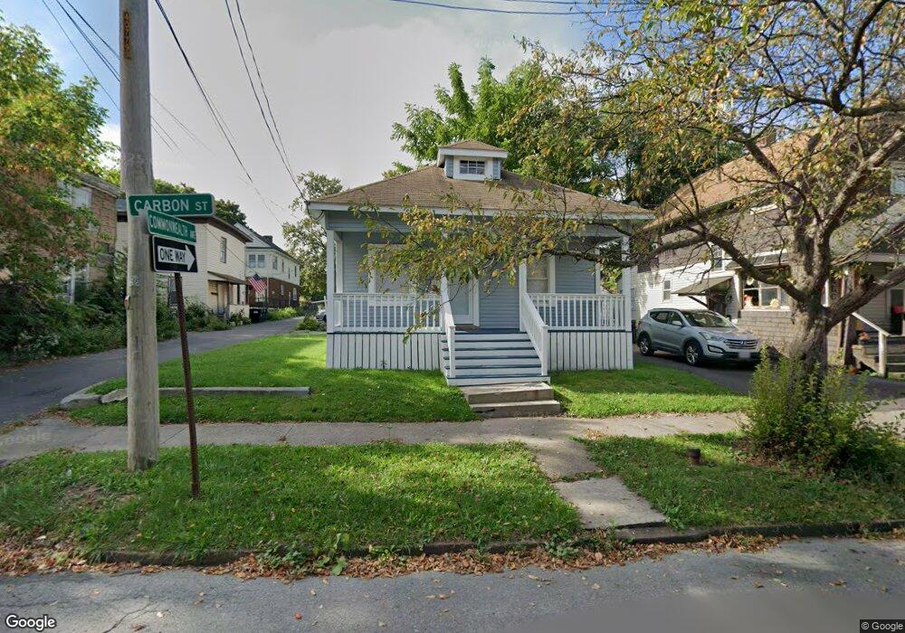
1211 Carbon St Syracuse, NY 13208
Washington Square NeighborhoodEstimated Value: $71,000 - $97,286
2
Beds
1
Bath
862
Sq Ft
$96/Sq Ft
Est. Value
About This Home
This home is located at 1211 Carbon St, Syracuse, NY 13208 and is currently estimated at $83,072, approximately $96 per square foot. 1211 Carbon St is a home located in Onondaga County with nearby schools including Webster Elementary School, Grant Middle School, and Corcoran High School.
Ownership History
Date
Name
Owned For
Owner Type
Purchase Details
Closed on
Dec 5, 2024
Sold by
300 Wolf Street Llc
Bought by
Rentas Jose and Rentas Margaret
Current Estimated Value
Home Financials for this Owner
Home Financials are based on the most recent Mortgage that was taken out on this home.
Original Mortgage
$13,500
Outstanding Balance
$13,394
Interest Rate
6.79%
Mortgage Type
Purchase Money Mortgage
Estimated Equity
$69,678
Purchase Details
Closed on
Jun 26, 2003
Sold by
Hannon Peter
Bought by
City Of Syracuse
Purchase Details
Closed on
Jun 23, 2003
Sold by
City Of Syracuse
Bought by
300 Wolf St Llc
Create a Home Valuation Report for This Property
The Home Valuation Report is an in-depth analysis detailing your home's value as well as a comparison with similar homes in the area
Home Values in the Area
Average Home Value in this Area
Purchase History
| Date | Buyer | Sale Price | Title Company |
|---|---|---|---|
| Rentas Jose | $15,000 | None Available | |
| City Of Syracuse | $938 | -- | |
| City Of Syracuse | $938 | -- | |
| 300 Wolf St Llc | $1,000 | -- | |
| 300 Wolf St Llc | $1,000 | -- |
Source: Public Records
Mortgage History
| Date | Status | Borrower | Loan Amount |
|---|---|---|---|
| Open | Rentas Jose | $13,500 |
Source: Public Records
Tax History Compared to Growth
Tax History
| Year | Tax Paid | Tax Assessment Tax Assessment Total Assessment is a certain percentage of the fair market value that is determined by local assessors to be the total taxable value of land and additions on the property. | Land | Improvement |
|---|---|---|---|---|
| 2024 | -- | $39,000 | $6,500 | $32,500 |
| 2023 | $883 | $39,000 | $6,500 | $32,500 |
| 2022 | $903 | $39,000 | $6,500 | $32,500 |
| 2021 | $903 | $39,000 | $6,500 | $32,500 |
| 2020 | $931 | $39,000 | $6,500 | $32,500 |
| 2019 | $927 | $39,000 | $6,500 | $32,500 |
| 2018 | $927 | $39,000 | $6,500 | $32,500 |
| 2017 | $889 | $39,000 | $6,500 | $32,500 |
| 2016 | $901 | $39,000 | $6,500 | $32,500 |
| 2015 | -- | $39,000 | $6,500 | $32,500 |
| 2014 | -- | $39,000 | $6,500 | $32,500 |
Source: Public Records
Map
Nearby Homes
- 110 Lacy Place Unit 12
- 1615 Spring St
- 502 Wolf St
- 1605 Park St
- 1212 Spring St
- 708 Bear St Unit 10
- 737 Lemoyne Ave
- 2519 Lodi St
- 707 Wolf St
- 717 Wolf St
- 2407 Lodi St
- 3137 Grant Blvd
- 3018 Grant Blvd
- 163 Court St
- 900 N Alvord St
- 702 Danforth St
- 700 Danforth St
- 1511 N State St Unit 4
- 2725 Grant Blvd Unit 27
- 417 Kirkpatrick St
- 1213 Carbon St
- 105 Commonwealth Ave
- 1207 Carbon St
- 1216 Carbon St
- 1205 Carbon St
- 104 Commonwealth Ave
- 214 Washington Square
- 101 Commonwealth Ave
- 404 Wolf St Unit 6
- 1203 Carbon St
- 1208 Carbon St
- 1214 Carbon St
- 1206 Carbon St
- 415 Lemoyne Ave
- 415 Lemoyne Ave Unit 19
- 1204 Carbon St
- 210 Washington Square
- 408 Wolf St
- 1200 Carbon St
- 339 Wolf St