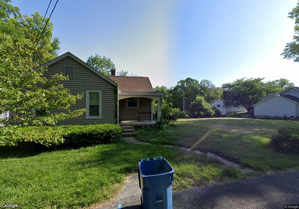
1211 Powell Ave Collinsville, IL 62234
Estimated Value: $127,070 - $196,000
3
Beds
2
Baths
1,050
Sq Ft
$153/Sq Ft
Est. Value
About This Home
This home is located at 1211 Powell Ave, Collinsville, IL 62234 and is currently estimated at $160,268, approximately $152 per square foot. 1211 Powell Ave is a home located in Madison County with nearby schools including Summit Elementary School, Dorris Intermediate School, and Collinsville Middle School.
Ownership History
Date
Name
Owned For
Owner Type
Purchase Details
Closed on
Aug 25, 2020
Sold by
Bunton Kenneth M
Bought by
Baird Zebulen E
Current Estimated Value
Purchase Details
Closed on
Apr 2, 2020
Sold by
Bunton Kenneth M
Bought by
Bunton Kenneth M
Purchase Details
Closed on
Jun 21, 2018
Sold by
Fitzpatrick Michael Eric and Baird Erica M
Bought by
Bunton Kenneth M
Create a Home Valuation Report for This Property
The Home Valuation Report is an in-depth analysis detailing your home's value as well as a comparison with similar homes in the area
Home Values in the Area
Average Home Value in this Area
Purchase History
| Date | Buyer | Sale Price | Title Company |
|---|---|---|---|
| Baird Zebulen E | -- | None Available | |
| Bunton Kenneth M | -- | None Available | |
| Bunton Kenneth M | $28,000 | First American Title Ins Co |
Source: Public Records
Tax History Compared to Growth
Tax History
| Year | Tax Paid | Tax Assessment Tax Assessment Total Assessment is a certain percentage of the fair market value that is determined by local assessors to be the total taxable value of land and additions on the property. | Land | Improvement |
|---|---|---|---|---|
| 2024 | $2,396 | $37,480 | $7,200 | $30,280 |
| 2023 | $2,396 | $34,690 | $6,660 | $28,030 |
| 2022 | $2,283 | $22,000 | $5,960 | $16,040 |
| 2021 | $1,428 | $20,670 | $5,600 | $15,070 |
| 2020 | $1,376 | $19,720 | $5,340 | $14,380 |
| 2019 | $1,340 | $19,050 | $5,160 | $13,890 |
| 2018 | $1,072 | $25,520 | $4,870 | $20,650 |
| 2017 | $1,056 | $25,010 | $4,770 | $20,240 |
| 2016 | $1,095 | $25,010 | $4,770 | $20,240 |
| 2015 | $1,374 | $24,360 | $4,650 | $19,710 |
| 2014 | $1,374 | $24,360 | $4,650 | $19,710 |
| 2013 | $1,374 | $24,360 | $4,650 | $19,710 |
Source: Public Records
Map
Nearby Homes
- 205 Audrey Ave
- 108 Westridge Dr
- 101 Westminster Dr
- 126 Collinsville Ave
- 300 N Combs Ave
- 221 N Hesperia St Unit 221 A and 221 B
- 119 N Hesperia St
- 611 W Main St
- 100 Debbie Dr
- 0 Elm St
- 746 Maple St
- 820 Bond Ave
- 510 N Combs Ave
- 506 W Clay St
- 125 S Hesperia St
- Lot 32 Jefferson Ave
- 419 Bell St
- 150 Boskydells Dr
- Lot 37 Jefferson Ave
- Lot 38 Jefferson Ave
- 1213 Powell Ave
- 305 Audrey Ave
- 307 Audrey Ave
- 1208 Powell Ave
- 1203 Powell Ave
- 1209 Powell Ave
- 303 Merrell St
- 305 Merrell St
- 1212 Powell Ave
- 307 Merrell St
- 313 Audrey Ave
- 301 Merrell St
- 217 Merrell St
- 1214 Powell Ave
- 309 Merrell St
- 213 Merrell St
- 319 Merrell St
- 211 Merrell St
- 315 Audrey Ave
- 116 Westridge Dr