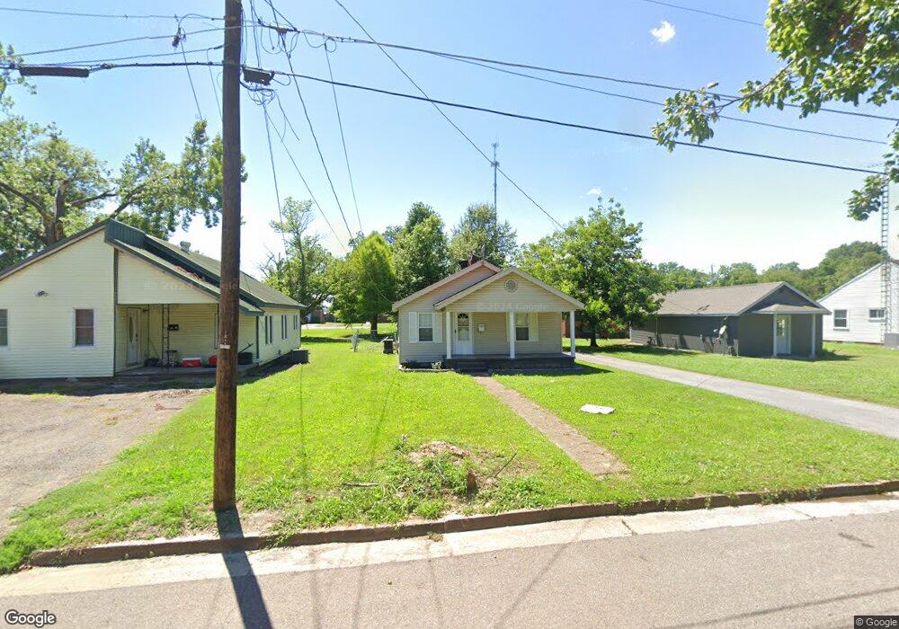
1211 S 2nd St Union City, TN 38261
Estimated Value: $83,000 - $103,000
--
Bed
1
Bath
708
Sq Ft
$134/Sq Ft
Est. Value
About This Home
This home is located at 1211 S 2nd St, Union City, TN 38261 and is currently estimated at $94,703, approximately $133 per square foot. 1211 S 2nd St is a home located in Obion County with nearby schools including Union City Elementary School, Union City Middle School, and Union City High School.
Ownership History
Date
Name
Owned For
Owner Type
Purchase Details
Closed on
Jul 24, 2025
Sold by
Gorton Jason and Gorton Courtney
Bought by
Gk Legacy Partners Llc
Current Estimated Value
Purchase Details
Closed on
Aug 9, 2022
Sold by
Sl Rentals Llc
Bought by
Gorton Jason and Gorton Courtney
Home Financials for this Owner
Home Financials are based on the most recent Mortgage that was taken out on this home.
Original Mortgage
$49,300
Interest Rate
5.7%
Mortgage Type
Credit Line Revolving
Purchase Details
Closed on
Jul 1, 2002
Bought by
Sedberry Martha H Steven E Sedberry
Purchase Details
Closed on
Feb 21, 1995
Purchase Details
Closed on
Jan 1, 1983
Bought by
Cloys Nelle S
Purchase Details
Closed on
Jan 1, 1955
Create a Home Valuation Report for This Property
The Home Valuation Report is an in-depth analysis detailing your home's value as well as a comparison with similar homes in the area
Home Values in the Area
Average Home Value in this Area
Purchase History
| Date | Buyer | Sale Price | Title Company |
|---|---|---|---|
| Gk Legacy Partners Llc | $95,000 | None Listed On Document | |
| Gk Legacy Partners Llc | $95,000 | None Listed On Document | |
| Gorton Jason | $58,000 | Nelson Law Pc | |
| Sedberry Martha H Steven E Sedberry | $10,600 | -- | |
| -- | $21,000 | -- | |
| Cloys Nelle S | -- | -- | |
| -- | -- | -- |
Source: Public Records
Mortgage History
| Date | Status | Borrower | Loan Amount |
|---|---|---|---|
| Previous Owner | Gorton Jason | $49,300 |
Source: Public Records
Tax History Compared to Growth
Tax History
| Year | Tax Paid | Tax Assessment Tax Assessment Total Assessment is a certain percentage of the fair market value that is determined by local assessors to be the total taxable value of land and additions on the property. | Land | Improvement |
|---|---|---|---|---|
| 2025 | -- | $12,250 | $0 | $0 |
| 2024 | -- | $12,250 | $2,250 | $10,000 |
| 2023 | $344 | $12,250 | $2,250 | $10,000 |
| 2022 | $127 | $7,925 | $2,250 | $5,675 |
| 2021 | $124 | $7,925 | $2,250 | $5,675 |
| 2020 | $127 | $7,925 | $2,250 | $5,675 |
| 2019 | $292 | $7,850 | $2,250 | $5,600 |
| 2018 | $291 | $7,850 | $2,250 | $5,600 |
| 2017 | $295 | $7,750 | $2,250 | $5,500 |
| 2016 | $295 | $7,750 | $2,250 | $5,500 |
| 2015 | $294 | $7,750 | $2,250 | $5,500 |
| 2014 | $294 | $7,750 | $2,250 | $5,500 |
Source: Public Records
Map
Nearby Homes
- 1129 S 4th St
- 422-426 430 W Jackson St
- 616 S 3rd St
- 610 Perkins St
- 605 S 5th St
- 633 E Jackson St
- 0 Vaden St
- 901 S Home St
- 713 Nelson St
- 803 Nelson St
- 817 Exchange St
- 803 E Main St
- 501 N 1st St
- 1319 Honeysuckle Dr
- 1704 Meadowlark Dr
- 724 E Martin Luther King
- 1361 S Miles Ave
- 0 S Miles Ave Unit 41030
- 1326 Holiday Rd
- 1201 Polk St