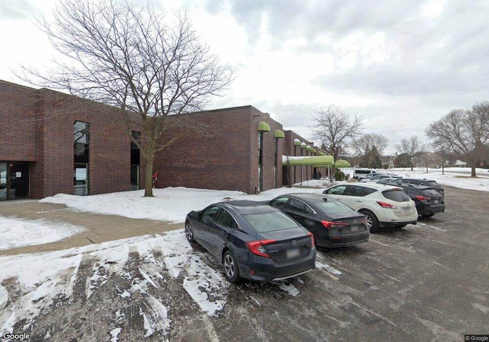
12119 16th Ave S Burnsville, MN 55337
Estimated Value: $4,759,724
--
Bed
10
Baths
43,164
Sq Ft
$110/Sq Ft
Est. Value
About This Home
This home is located at 12119 16th Ave S, Burnsville, MN 55337 and is currently estimated at $4,759,724, approximately $110 per square foot. 12119 16th Ave S is a home located in Dakota County with nearby schools including William Byrne Elementary School, Burnsville High School, and Gateway STEM Academy.
Ownership History
Date
Name
Owned For
Owner Type
Purchase Details
Closed on
Jun 27, 2023
Sold by
Zanzibar Financing Inc
Bought by
Alitqan Center
Current Estimated Value
Purchase Details
Closed on
Jul 26, 2022
Sold by
12119 - 16Th Ave Llc
Bought by
Alitqan Center
Purchase Details
Closed on
Jun 18, 2002
Sold by
Duke Realty Ltd Partnership
Bought by
Destiny Christian Center
Purchase Details
Closed on
Mar 12, 1998
Sold by
Happe Properties
Bought by
Duke Realty Ltd Partnership
Create a Home Valuation Report for This Property
The Home Valuation Report is an in-depth analysis detailing your home's value as well as a comparison with similar homes in the area
Home Values in the Area
Average Home Value in this Area
Purchase History
| Date | Buyer | Sale Price | Title Company |
|---|---|---|---|
| Alitqan Center | $6,025,000 | -- | |
| Zanzibar Financing Inc | $4,525,000 | -- | |
| Alitqan Center | $5,488,893 | -- | |
| Destiny Christian Center | $2,000,000 | -- | |
| Duke Realty Ltd Partnership | $1,359,060 | -- | |
| -- | $4,300,000 | -- |
Source: Public Records
Tax History Compared to Growth
Tax History
| Year | Tax Paid | Tax Assessment Tax Assessment Total Assessment is a certain percentage of the fair market value that is determined by local assessors to be the total taxable value of land and additions on the property. | Land | Improvement |
|---|---|---|---|---|
| 2024 | $3,271 | $3,547,100 | $793,500 | $2,753,600 |
| 2023 | $3,271 | $3,432,800 | $755,400 | $2,677,400 |
| 2022 | $88,352 | $3,241,600 | $692,000 | $2,549,600 |
| 2021 | $2,590 | $2,976,100 | $663,200 | $2,312,900 |
| 2020 | $2,590 | $2,920,200 | $667,700 | $2,252,500 |
| 2019 | $0 | $2,914,100 | $667,700 | $2,246,400 |
| 2018 | $0 | $2,481,000 | $667,700 | $1,813,300 |
| 2017 | $0 | $2,481,000 | $667,700 | $1,813,300 |
| 2016 | -- | $2,298,800 | $667,700 | $1,631,100 |
| 2015 | -- | $0 | $0 | $0 |
| 2014 | -- | $0 | $0 | $0 |
| 2013 | -- | $0 | $0 | $0 |
Source: Public Records
Map
Nearby Homes
- 1609 Riverwood Dr
- 2007 E 122nd St Unit B15
- 2011 E 122nd St Unit D24
- 2005 E 122nd St Unit A7
- 2005 E 122nd St Unit A14
- 2005 E 122nd St Unit A23
- 12284 River Valley Dr
- 12316 Michelle Cir
- 12251 River Valley Dr
- 12232 Oak Leaf Cir
- 1853 Riverwood Dr Unit 4
- 1800 Riverwood Dr Unit 110
- 1800 Riverwood Dr Unit 323
- 12420 Chippewa Ln
- 1115 E Travelers Trail
- 122 Birnamwood Dr
- 2200 Horizon Rd
- 2300 Villaburne Ct W
- 37 Birnamwood Dr
- 952 E Travelers Trail Unit 50
- 1833 E 122nd St
- 1821 E 122nd St
- 1823 E 122nd St
- 1835 E 122nd St
- 1851 E 122nd St
- 1825 E 122nd St
- 1837 E 122nd St
- 1849 E 122nd St
- 1827 E 122nd St
- 1829 E 122nd St
- 1829 122nd St E
- 1829 1829 122nd-Street-e
- 1847 E 122nd St
- 1839 E 122nd St
- 1831 E 122nd St
- 1845 E 122nd St
- 1841 E 122nd St
- 1843 E 122nd St
- 1861 E 122nd St
- 1800 E 121st St