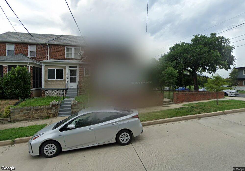
1214 Crittenden St NE Washington, DC 20017
Michigan Park NeighborhoodEstimated Value: $468,467 - $598,000
3
Beds
2
Baths
1,372
Sq Ft
$385/Sq Ft
Est. Value
About This Home
This home is located at 1214 Crittenden St NE, Washington, DC 20017 and is currently estimated at $528,867, approximately $385 per square foot. 1214 Crittenden St NE is a home located in District of Columbia with nearby schools including Bunker Hill Elementary School, Brookland Middle School, and Dunbar High School.
Ownership History
Date
Name
Owned For
Owner Type
Purchase Details
Closed on
Nov 6, 1995
Sold by
Truesdale Edward
Bought by
Ford Moses L
Current Estimated Value
Home Financials for this Owner
Home Financials are based on the most recent Mortgage that was taken out on this home.
Original Mortgage
$134,049
Outstanding Balance
$939
Interest Rate
7.58%
Estimated Equity
$527,928
Create a Home Valuation Report for This Property
The Home Valuation Report is an in-depth analysis detailing your home's value as well as a comparison with similar homes in the area
Home Values in the Area
Average Home Value in this Area
Purchase History
| Date | Buyer | Sale Price | Title Company |
|---|---|---|---|
| Ford Moses L | $122,727 | -- |
Source: Public Records
Mortgage History
| Date | Status | Borrower | Loan Amount |
|---|---|---|---|
| Open | Ford Moses L | $134,049 |
Source: Public Records
Tax History Compared to Growth
Tax History
| Year | Tax Paid | Tax Assessment Tax Assessment Total Assessment is a certain percentage of the fair market value that is determined by local assessors to be the total taxable value of land and additions on the property. | Land | Improvement |
|---|---|---|---|---|
| 2025 | $3,673 | $521,920 | $331,760 | $190,160 |
| 2024 | $3,609 | $511,610 | $330,090 | $181,520 |
| 2023 | $3,460 | $500,230 | $322,340 | $177,890 |
| 2022 | $3,187 | $469,170 | $302,950 | $166,220 |
| 2021 | $2,915 | $447,540 | $298,510 | $149,030 |
| 2020 | $2,655 | $440,080 | $290,090 | $149,990 |
| 2019 | $2,420 | $418,550 | $267,560 | $150,990 |
| 2018 | $2,212 | $396,020 | $0 | $0 |
| 2017 | $2,018 | $363,600 | $0 | $0 |
| 2016 | $1,840 | $315,560 | $0 | $0 |
| 2015 | $1,675 | $270,070 | $0 | $0 |
| 2014 | $1,533 | $250,560 | $0 | $0 |
Source: Public Records
Map
Nearby Homes
- 4822 S Dakota Ave NE
- 4913 12th St NE
- 4911 Sargent Rd NE
- 4956 Sargent Rd NE
- 4803 10th St NE
- 4937 11th St NE
- 1251 Emerson St NE
- 4509 12th St NE
- 4526 South Dakota Ave NE
- 838 Buchanan St NE
- 5008 11th St NE
- 5035 Sargent Rd NE
- 832 Delafield St NE
- 5008 10th St NE
- 4414 13th Place NE
- 5024 10th St NE
- 5047 13th St NE
- 5031 S Dakota Ave NE
- 1261 Gallatin St NE
- 5051 8th St NE
- 1212 Crittenden St NE
- 1210 Crittenden St NE
- 4801 South Dakota Ave NE
- 4801 S Dakota Ave NE
- 4803 South Dakota Ave NE
- 4808 Sargent Rd NE
- 4805 South Dakota Ave NE
- 4805 S Dakota Ave NE
- 4715 Sargent Rd NE
- 4713 Sargent Rd NE
- 4809 South Dakota Ave NE
- 4809 S Dakota Ave NE
- 4810 Sargent Rd NE
- 4711 Sargent Rd NE
- 4811 S Dakota Ave NE
- 4811 South Dakota Ave NE
- 4814 Sargent Rd NE
- 4813 South Dakota Ave NE
- 4707 Sargent Rd NE