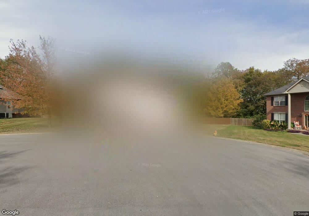
1216 Brockton Ct Gallatin, TN 37066
Estimated Value: $438,700 - $477,000
--
Bed
4
Baths
2,332
Sq Ft
$200/Sq Ft
Est. Value
About This Home
This home is located at 1216 Brockton Ct, Gallatin, TN 37066 and is currently estimated at $465,675, approximately $199 per square foot. 1216 Brockton Ct is a home located in Sumner County with nearby schools including Howard Elementary School, Rucker Stewart Middle School, and Station Camp High School.
Ownership History
Date
Name
Owned For
Owner Type
Purchase Details
Closed on
Jul 10, 1998
Sold by
Goodall Inc Builders
Bought by
Bullard Donald and Bullard Dana
Current Estimated Value
Home Financials for this Owner
Home Financials are based on the most recent Mortgage that was taken out on this home.
Original Mortgage
$135,850
Outstanding Balance
$26,359
Interest Rate
7.02%
Estimated Equity
$439,316
Purchase Details
Closed on
Apr 27, 1998
Sold by
Tyree Woods Co
Bought by
Goodall Inc Builders
Create a Home Valuation Report for This Property
The Home Valuation Report is an in-depth analysis detailing your home's value as well as a comparison with similar homes in the area
Home Values in the Area
Average Home Value in this Area
Purchase History
| Date | Buyer | Sale Price | Title Company |
|---|---|---|---|
| Bullard Donald | $143,000 | -- | |
| Goodall Inc Builders | $17,000 | -- |
Source: Public Records
Mortgage History
| Date | Status | Borrower | Loan Amount |
|---|---|---|---|
| Open | Bullard Donald | $135,850 |
Source: Public Records
Tax History Compared to Growth
Tax History
| Year | Tax Paid | Tax Assessment Tax Assessment Total Assessment is a certain percentage of the fair market value that is determined by local assessors to be the total taxable value of land and additions on the property. | Land | Improvement |
|---|---|---|---|---|
| 2024 | $1,625 | $114,350 | $21,250 | $93,100 |
| 2023 | $2,196 | $71,950 | $16,250 | $55,700 |
| 2022 | $2,204 | $71,950 | $16,250 | $55,700 |
| 2021 | $2,204 | $71,950 | $16,250 | $55,700 |
| 2020 | $2,204 | $71,950 | $16,250 | $55,700 |
| 2019 | $2,204 | $0 | $0 | $0 |
| 2018 | $1,801 | $0 | $0 | $0 |
| 2017 | $1,801 | $0 | $0 | $0 |
| 2016 | $1,290 | $0 | $0 | $0 |
| 2015 | $1,801 | $0 | $0 | $0 |
| 2014 | $1,587 | $0 | $0 | $0 |
Source: Public Records
Map
Nearby Homes
- 415 Buckingham Blvd
- 608 Bradford Dr
- 420 Dorchester Place
- 376 Huntington Dr
- 540 Bradford Dr
- 1036 Middleton Ln
- 156 Hackney Ln
- 1273 Wentworth Dr
- 1239 Wentworth Dr
- 294 Buckingham Blvd
- 806 Warrington Ct
- 1328 Wentworth Dr
- 3023 Duvall Dr
- 638 Wassil Dr
- 1245 Amherst Ct
- 300 Remington Ave
- 1017 Wickshire Dr
- 559 Becks Place
- 1017 Laurelwood Dr
- 305 Remington Ave
- 1220 Brockton Ct
- 1512 Brockton Ct
- 1214 Brockton Ct
- 639 Bradford Dr
- 635 Bradford Dr
- 643 Bradford Dr
- 1361 Branch Creek Rd
- 449 Buckingham Blvd
- 445 Buckingham Blvd
- 1219 Brockton Ct
- 453 Buckingham Blvd
- 1215 Brockton Ct
- 439 Buckingham Blvd
- 1355 Branch Creek Rd
- 435 Buckingham Blvd
- 640 Bradford Dr
- 644 Bradford Dr
- 636 Bradford Dr
- 1220 Wembley Ct
- 1351 Branch Creek Rd