Estimated Value: $116,000 - $133,000
2
Beds
1
Bath
1,032
Sq Ft
$119/Sq Ft
Est. Value
About This Home
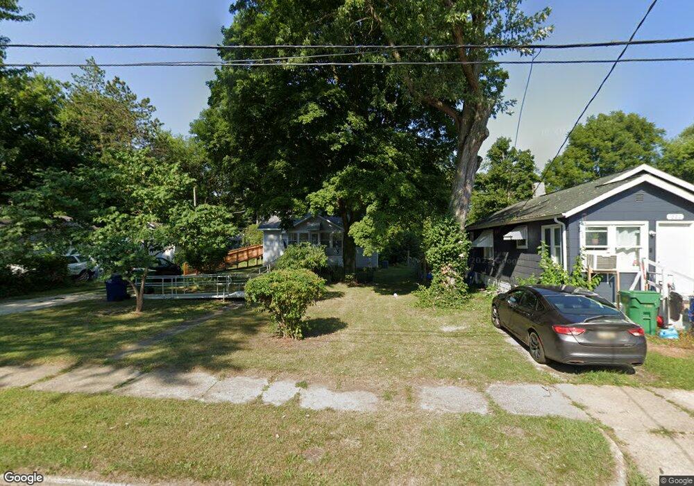
This home is located at 1216 N 10th St, Niles, MI 49120 and is currently estimated at $123,004, approximately $119 per square foot. 1216 N 10th St is a home located in Berrien County with nearby schools including James Ellis School, Howard-Ellis Elementary School, and Ring Lardner Middle School.
Ownership History
Date
Name
Owned For
Owner Type
Purchase Details
Closed on
Dec 14, 2007
Sold by
Simpson Ronald F and Simpson Dawn M
Bought by
Creek Tim R and Creek Ida Mae
Current Estimated Value
Home Financials for this Owner
Home Financials are based on the most recent Mortgage that was taken out on this home.
Original Mortgage
$48,900
Interest Rate
6.31%
Mortgage Type
Unknown
Purchase Details
Closed on
Jan 9, 2007
Sold by
Jacobs Beverly J
Bought by
Simpson Ronald F and Horein David M
Purchase Details
Closed on
Apr 17, 2003
Sold by
Cannon Keith
Bought by
Jacobs Beverly J
Purchase Details
Closed on
Jun 30, 2000
Purchase Details
Closed on
Sep 29, 1999
Purchase Details
Closed on
Feb 19, 1993
Purchase Details
Closed on
Aug 23, 1990
Create a Home Valuation Report for This Property
The Home Valuation Report is an in-depth analysis detailing your home's value as well as a comparison with similar homes in the area
Home Values in the Area
Average Home Value in this Area
Purchase History
| Date | Buyer | Sale Price | Title Company |
|---|---|---|---|
| Creek Tim R | $48,900 | Chicago Title | |
| Simpson Ronald F | $19,000 | None Available | |
| Jacobs Beverly J | $17,100 | -- | |
| -- | $30,000 | -- | |
| -- | -- | -- | |
| -- | $100 | -- | |
| -- | $5,500 | -- |
Source: Public Records
Mortgage History
| Date | Status | Borrower | Loan Amount |
|---|---|---|---|
| Closed | Creek Tim R | $48,900 |
Source: Public Records
Tax History Compared to Growth
Tax History
| Year | Tax Paid | Tax Assessment Tax Assessment Total Assessment is a certain percentage of the fair market value that is determined by local assessors to be the total taxable value of land and additions on the property. | Land | Improvement |
|---|---|---|---|---|
| 2025 | $906 | $48,600 | $0 | $0 |
| 2024 | $698 | $47,200 | $0 | $0 |
| 2023 | $670 | $36,600 | $0 | $0 |
| 2022 | $638 | $24,600 | $0 | $0 |
| 2021 | $790 | $22,400 | $3,000 | $19,400 |
| 2020 | $782 | $20,900 | $0 | $0 |
| 2019 | $773 | $20,200 | $2,000 | $18,200 |
| 2018 | $747 | $20,200 | $0 | $0 |
| 2017 | $735 | $23,700 | $0 | $0 |
| 2016 | $719 | $18,900 | $0 | $0 |
| 2015 | $836 | $24,400 | $0 | $0 |
| 2014 | $648 | $21,700 | $0 | $0 |
Source: Public Records
Map
Nearby Homes
- 1201 N 6th St
- 1603 N 5th St
- 1610 N 5th St
- 2802 Primrose Ct
- 501 & 505 N Twelfth St
- 1630 Forest Trail
- 712 Wayne St
- 645 N 11th St
- 1405 Sheffield Ave
- 626 N 12th St
- 622 N 13th St
- 1123 N 9th St
- 232 Pokagon St
- 1314 Ferry St
- 810 Ferry St
- 31829 Heritage Place
- 98 River St
- 534 James St
- 211 N 8th St
- 709 Regent St