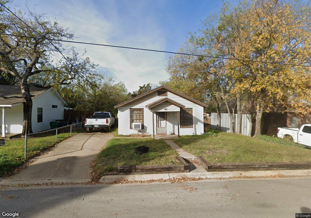
1216 Peak St Denton, TX 76201
Estimated Value: $185,000 - $238,000
2
Beds
1
Bath
672
Sq Ft
$312/Sq Ft
Est. Value
About This Home
This home is located at 1216 Peak St, Denton, TX 76201 and is currently estimated at $209,784, approximately $312 per square foot. 1216 Peak St is a home located in Denton County with nearby schools including Borman Elementary School, Calhoun Middle School, and Denton High School.
Ownership History
Date
Name
Owned For
Owner Type
Purchase Details
Closed on
Jan 7, 2005
Sold by
Woods Deanna Paez Rivera
Bought by
Rivera Davin Paez
Current Estimated Value
Home Financials for this Owner
Home Financials are based on the most recent Mortgage that was taken out on this home.
Original Mortgage
$28,500
Interest Rate
5.68%
Mortgage Type
Purchase Money Mortgage
Purchase Details
Closed on
May 2, 1996
Sold by
Mccormick M H and Mccormick Hazel Mae
Bought by
Rivera Diana
Create a Home Valuation Report for This Property
The Home Valuation Report is an in-depth analysis detailing your home's value as well as a comparison with similar homes in the area
Home Values in the Area
Average Home Value in this Area
Purchase History
| Date | Buyer | Sale Price | Title Company |
|---|---|---|---|
| Rivera Davin Paez | $25,500 | Denton County Title Co | |
| Rivera Diana | -- | -- |
Source: Public Records
Mortgage History
| Date | Status | Borrower | Loan Amount |
|---|---|---|---|
| Previous Owner | Rivera Davin Paez | $28,500 |
Source: Public Records
Tax History Compared to Growth
Tax History
| Year | Tax Paid | Tax Assessment Tax Assessment Total Assessment is a certain percentage of the fair market value that is determined by local assessors to be the total taxable value of land and additions on the property. | Land | Improvement |
|---|---|---|---|---|
| 2025 | $1,103 | $131,013 | $121,500 | $62,113 |
| 2024 | $2,299 | $119,103 | $0 | $0 |
| 2023 | $871 | $108,275 | $74,250 | $63,558 |
| 2022 | $2,090 | $98,432 | $60,750 | $37,682 |
| 2021 | $2,081 | $93,588 | $60,750 | $32,838 |
| 2020 | $2,021 | $88,401 | $60,750 | $33,735 |
| 2019 | $1,918 | $80,365 | $60,750 | $34,171 |
| 2018 | $1,765 | $73,059 | $60,750 | $34,770 |
| 2017 | $1,642 | $66,417 | $60,750 | $36,701 |
| 2016 | $1,188 | $60,379 | $56,363 | $21,854 |
| 2015 | $1,107 | $54,890 | $33,750 | $21,140 |
| 2013 | -- | $50,267 | $33,750 | $17,496 |
Source: Public Records
Map
Nearby Homes
- 808 W Collins St
- 1115 Mccormick St
- 724 W Collins St
- 1311 Margie St Unit 1&2
- 922 Fannin St Unit 102
- 708 W Collins St
- 700 W Collins St
- 1211 Lindsey St
- 618 W Collins St
- 1303 Fannin St
- 1619 Mccormick St
- 1523 Oakwood Dr
- 1308 Myrtle St
- 1211 Kendolph Dr
- 631 Acme St
- 104 Daugherty St
- 1618 Kendolph Dr
- 1800 Westridge St
- 110 E Daugherty St
- 528 Pierce St