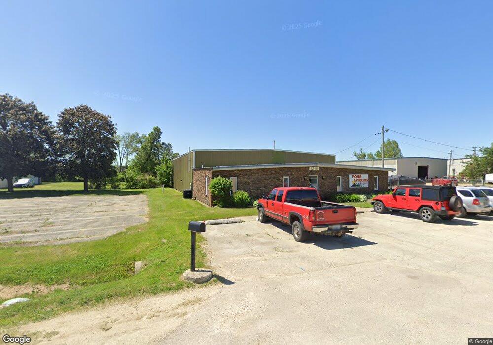
1218 Shappert Dr Machesney Park, IL 61115
Estimated Value: $503,881
--
Bed
--
Bath
--
Sq Ft
3.51
Acres
About This Home
This home is located at 1218 Shappert Dr, Machesney Park, IL 61115 and is currently estimated at $503,881. 1218 Shappert Dr is a home located in Winnebago County with nearby schools including Ralston Elementary School, Harlem Middle School, and Harlem High School.
Ownership History
Date
Name
Owned For
Owner Type
Purchase Details
Closed on
Mar 5, 2014
Sold by
G & W Two Llc
Bought by
Foss Ronald J
Current Estimated Value
Home Financials for this Owner
Home Financials are based on the most recent Mortgage that was taken out on this home.
Original Mortgage
$168,750
Interest Rate
4.4%
Mortgage Type
New Conventional
Create a Home Valuation Report for This Property
The Home Valuation Report is an in-depth analysis detailing your home's value as well as a comparison with similar homes in the area
Home Values in the Area
Average Home Value in this Area
Purchase History
| Date | Buyer | Sale Price | Title Company |
|---|---|---|---|
| Foss Ronald J | $225,000 | Title Underwriters Agency | |
| Foss Ronald | $225,000 | -- |
Source: Public Records
Mortgage History
| Date | Status | Borrower | Loan Amount |
|---|---|---|---|
| Previous Owner | Foss Ronald J | $168,750 |
Source: Public Records
Tax History Compared to Growth
Tax History
| Year | Tax Paid | Tax Assessment Tax Assessment Total Assessment is a certain percentage of the fair market value that is determined by local assessors to be the total taxable value of land and additions on the property. | Land | Improvement |
|---|---|---|---|---|
| 2024 | $14,383 | $177,999 | $81,842 | $96,157 |
| 2023 | $13,820 | $158,081 | $72,684 | $85,397 |
| 2022 | $13,704 | $144,182 | $66,293 | $77,889 |
| 2021 | $13,040 | $134,097 | $61,656 | $72,441 |
| 2020 | $12,051 | $127,736 | $58,731 | $69,005 |
| 2019 | $12,436 | $122,353 | $56,256 | $66,097 |
| 2018 | $12,193 | $118,341 | $54,411 | $63,930 |
| 2017 | $13,143 | $115,096 | $52,919 | $62,177 |
| 2016 | $12,968 | $112,806 | $51,866 | $60,940 |
| 2015 | $11,061 | $95,000 | $44,635 | $50,365 |
| 2014 | $14,610 | $128,515 | $44,635 | $83,880 |
Source: Public Records
Map
Nearby Homes
- 956 Firefly Dr
- 931 Brightside Ct
- 701 Russ Ave
- 1131 Comfortcove Dr
- XX Smythe Ave
- 10912 Dixon Pines Cir
- 960 Comfortcove Dr
- 909 Darwin Dr
- 910 Greglynn St
- 569 Gershwin Ln
- 10320 Bluebonnet Dr
- 475 Symphony Cove
- XXXX2 Brentwood Rd
- XXXX1 Brentwood Rd
- XXXX Brentwood Rd
- 212 Brentwood Rd
- 10313 Ventura Blvd
- 515 Chicory St
- 11807 Ventura Blvd
- 10102 Debbie Ln
- 10505 Product Dr
- 10568 Product Dr
- 10400 N 2nd St
- 1234 Shappert Dr
- 10446 Product Dr
- 10471 Banyan Dr
- 10714 N 2nd St
- 10714 N 2nd St
- 10535 Banyan Dr
- 10517 Banyan Dr
- 10551 Banyan Dr
- 10350 N 2nd St
- 10573 Banyan Dr
- 10455 Banyan Dr
- 10493 Banyan Dr
- 10591 Banyan Dr
- 1243 Shappert Dr
- 10611 Banyan Dr
- 10433 Banyan Dr
- 10415 Banyan Dr