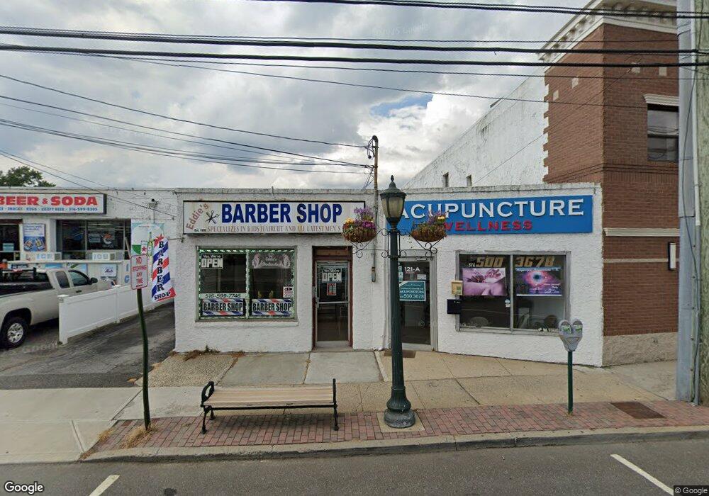
121A Broadway Lynbrook, NY 11563
Estimated Value: $861,905 - $863,000
1
Bed
1
Bath
2,199
Sq Ft
$392/Sq Ft
Est. Value
About This Home
This home is located at 121A Broadway, Lynbrook, NY 11563 and is currently estimated at $862,453, approximately $392 per square foot. 121A Broadway is a home located in Nassau County with nearby schools including Lynbrook Senior High School and Our Lady Of Peace School.
Ownership History
Date
Name
Owned For
Owner Type
Purchase Details
Closed on
Dec 22, 2021
Sold by
Lecuit Trust
Bought by
Broadway 121 Llc
Current Estimated Value
Home Financials for this Owner
Home Financials are based on the most recent Mortgage that was taken out on this home.
Original Mortgage
$415,000
Interest Rate
3.45%
Mortgage Type
New Conventional
Purchase Details
Closed on
May 12, 2021
Sold by
Lecuit Betty J
Bought by
Lecuit Trust
Purchase Details
Closed on
May 9, 2012
Sold by
Lecuit Jean Jules and Lecuit John
Bought by
Lecuit Jeffrey A and Lecuit John J
Create a Home Valuation Report for This Property
The Home Valuation Report is an in-depth analysis detailing your home's value as well as a comparison with similar homes in the area
Home Values in the Area
Average Home Value in this Area
Purchase History
| Date | Buyer | Sale Price | Title Company |
|---|---|---|---|
| Broadway 121 Llc | $715,000 | Westcor Land Title | |
| Lecuit Trust | -- | None Available | |
| Lecuit Jeffrey A | -- | -- |
Source: Public Records
Mortgage History
| Date | Status | Borrower | Loan Amount |
|---|---|---|---|
| Previous Owner | Broadway 121 Llc | $415,000 |
Source: Public Records
Tax History Compared to Growth
Tax History
| Year | Tax Paid | Tax Assessment Tax Assessment Total Assessment is a certain percentage of the fair market value that is determined by local assessors to be the total taxable value of land and additions on the property. | Land | Improvement |
|---|---|---|---|---|
| 2025 | $12,261 | $2,206 | $931 | $1,275 |
| 2024 | $1,126 | $2,206 | $931 | $1,275 |
| 2023 | $12,222 | $2,206 | $931 | $1,275 |
| 2022 | $12,222 | $2,206 | $931 | $1,275 |
| 2021 | $13,833 | $2,177 | $931 | $1,246 |
| 2020 | $15,359 | $1,986 | $1,032 | $954 |
| 2019 | $2,039 | $1,986 | $1,032 | $954 |
| 2018 | $1,668 | $1,986 | $0 | $0 |
| 2017 | $11,666 | $1,986 | $1,032 | $954 |
| 2016 | $13,152 | $1,986 | $1,032 | $954 |
| 2015 | $1,536 | $1,986 | $1,032 | $954 |
| 2014 | $1,536 | $1,986 | $1,032 | $954 |
| 2013 | $1,384 | $1,986 | $1,032 | $954 |
Source: Public Records
Map
Nearby Homes
- 230 Broadway
- 85 Oakland Ave
- 106 Atlantic Ave Unit 28
- 316 Scranton Ave
- 114 Atlantic Ave Unit 89
- 2 Fowler Ave Unit 206
- 2 Fowler Ave Unit 228
- 63 Lenox Ave
- 30 Daley Place Unit 247
- 20 Daley Place Unit 104
- 20 Daley Place Unit 225
- 20 Daley Place Unit 127
- 15 Leach St
- 16 Maiden Ln
- 183 Atlantic Ave Unit 2
- 183 Atlantic Ave Unit 8
- 21 Carter Ct
- 40 Daley Place Unit 124
- 40 Daley Place Unit 233
- 12 Roxy Place
- 121 Broadway
- 114 Evergreen Ave
- 112 Evergreen Ave
- 129 Broadway Unit B
- 129 Broadway
- 116 Broadway
- 118 Broadway
- 120 Broadway
- 120 Broadway Unit Rear
- 120 Broadway Unit Ste B
- 106 Evergreen Ave
- 13 Putnam Ave
- 11 Union Place
- 15 Putnam Ave
- 111 Broadway
- 17 Putnam Ave
- 19 Putnam Ave
- 115 Evergreen Ave
- 663 Sunrise Hwy
- 8 Union Place