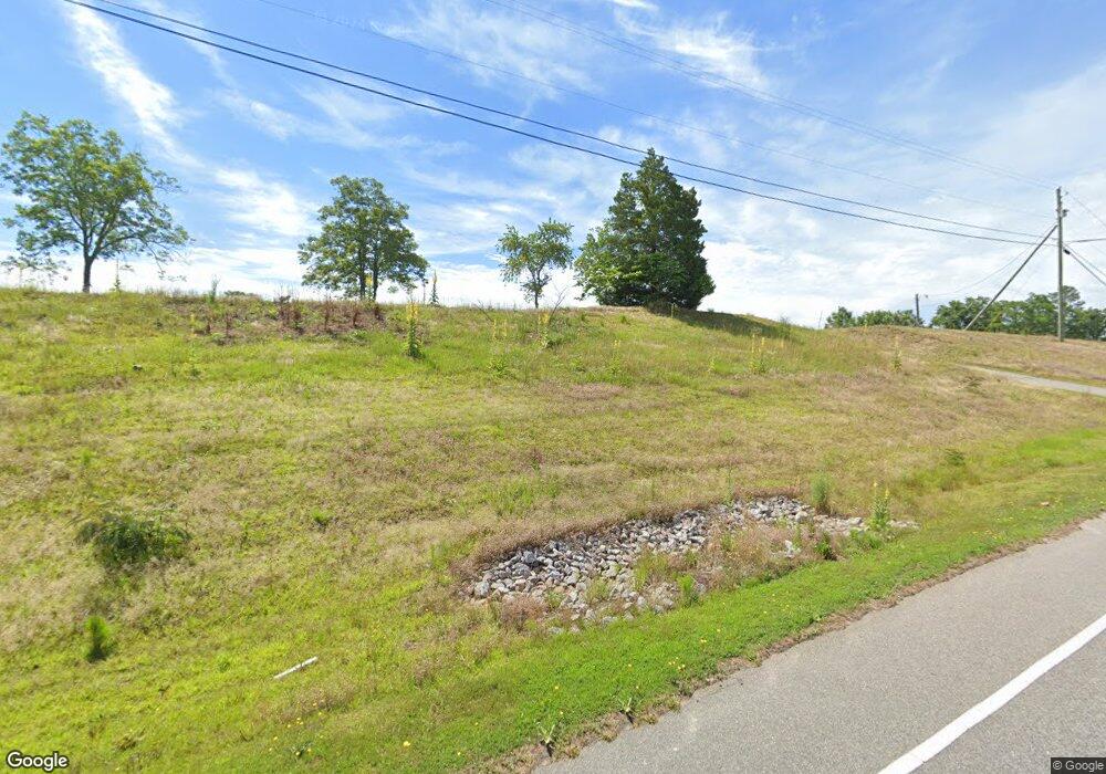
122 Blue Sky Dr Rockingham, NC 28379
Estimated Value: $158,000 - $342,000
--
Bed
--
Bath
1,539
Sq Ft
$149/Sq Ft
Est. Value
About This Home
This home is located at 122 Blue Sky Dr, Rockingham, NC 28379 and is currently estimated at $228,642, approximately $148 per square foot. 122 Blue Sky Dr is a home with nearby schools including West Rockingham Elementary School, Rockingham Middle School, and Ashley Chapel Educational Center.
Ownership History
Date
Name
Owned For
Owner Type
Purchase Details
Closed on
Nov 9, 2022
Sold by
Bryant Guy C
Bought by
Lewis Jeffrey Trey and Lewis Laura Lee
Current Estimated Value
Home Financials for this Owner
Home Financials are based on the most recent Mortgage that was taken out on this home.
Original Mortgage
$95,000
Outstanding Balance
$84,649
Interest Rate
6.92%
Mortgage Type
Seller Take Back
Estimated Equity
$143,993
Purchase Details
Closed on
Oct 12, 2011
Sold by
Bryant Guy Cecil
Bought by
Department Of Transportation
Purchase Details
Closed on
Aug 7, 2002
Bought by
Bryant Guy Cecil
Create a Home Valuation Report for This Property
The Home Valuation Report is an in-depth analysis detailing your home's value as well as a comparison with similar homes in the area
Home Values in the Area
Average Home Value in this Area
Purchase History
| Date | Buyer | Sale Price | Title Company |
|---|---|---|---|
| Lewis Jeffrey Trey | $95,000 | None Listed On Document | |
| Lewis Jeffrey Trey | $95,000 | None Listed On Document | |
| Department Of Transportation | $1,310,500 | -- | |
| Bryant Guy Cecil | $30,000 | -- |
Source: Public Records
Mortgage History
| Date | Status | Borrower | Loan Amount |
|---|---|---|---|
| Open | Lewis Jeffrey Trey | $95,000 | |
| Closed | Lewis Jeffrey Trey | $95,000 |
Source: Public Records
Tax History Compared to Growth
Tax History
| Year | Tax Paid | Tax Assessment Tax Assessment Total Assessment is a certain percentage of the fair market value that is determined by local assessors to be the total taxable value of land and additions on the property. | Land | Improvement |
|---|---|---|---|---|
| 2025 | $1,085 | $110,316 | $57,244 | $53,072 |
| 2024 | $1,107 | $110,316 | $57,244 | $53,072 |
| 2023 | $513 | $67,534 | $39,801 | $27,733 |
| 2022 | $1,645 | $67,534 | $39,801 | $27,733 |
| 2021 | $509 | $67,534 | $39,801 | $27,733 |
| 2020 | $505 | $67,534 | $39,801 | $27,733 |
| 2019 | $505 | $67,534 | $39,801 | $27,733 |
| 2018 | $505 | $67,534 | $39,801 | $27,733 |
| 2016 | -- | $55,908 | $28,175 | $27,733 |
| 2014 | -- | $48,860 | $24,091 | $24,769 |
Source: Public Records
Map
Nearby Homes
- 212 Guardian Way
- 119 Dockery Rd
- 181 Stelleys Tabernacle Church Rd
- 110 Haywood Cemetery Rd
- 00 Dockery Rd
- 277 Old Woods Rd
- 110 Ponds Ln
- 000 Mcneil Rd Unit 13
- 0 Nicholson Rd
- 000 Mcneill St
- 156 Roberdel School Rd
- 120 Parker St
- 132 Parker St
- 1215 Roberdel Rd
- 329 Silver Grove Church Rd
- 112 Marilyn Ave
- 0 Terry Bridge Rd
- 1507 Brookfield Rd
- 187 Cartledge Creek Rd
- 0 Creek Run Unit 100336089
- 1050 N Us Highway 220
- 0 Guardian Way
- 1060 N Us Highway 220
- 166 Poppy Seed Dr
- 134 Sandy Ridge Church Rd
- 129 Sandy Ridge Church Rd
- 160 Sandy Ridge Church Rd
- 135 Sandy Ridge Church Rd
- 154 Sandy Ridge Church Rd
- 156 Sandy Ridge Church Rd
- 161 Sandy Ridge Church Rd
- 167 Sandy Ridge Church Rd
- 141 Northside Dr
- 134 Hudson Reese Rd
- 175 Sandy Ridge Church Rd
- 171 Sandy Ridge Church Rd
- 144 Northside Dr
- 179 Sandy Ridge Church Rd
- 113 Nelson Farm Rd
- 132 Northside Dr
